Summary
The ideal streamflow range for this run is between 150 and 600 cfs. The class rating for this section of the river is Class III-IV, making it suitable for experienced paddlers. The segment mileage for this run is approximately 4 miles.
There are several specific river rapids and obstacles that paddlers will encounter along this run, including the "Pinball" rapid, "Davy Jones Locker," and "Son of Davy." These rapids require precise maneuvers to navigate safely. The river also features several large rocks and boulders that require careful attention to avoid.
There are specific regulations to the area that paddlers must adhere to, including obtaining a permit for overnight camping and following Leave No Trace principles. Additionally, it is important to be aware of private property along the riverbank and to respect the rights of landowners.
°F
°F
mph
Wind
%
Humidity
15-Day Weather Outlook
River Run Details
| Last Updated | 2026-02-07 |
| River Levels | 337 cfs (7.34 ft) |
| Percent of Normal | 66% |
| Status | |
| Class Level | iii-iv |
| Elevation | ft |
| Streamflow Discharge | cfs |
| Gauge Height | ft |
| Reporting Streamgage | USGS 10164500 |
5-Day Hourly Forecast Detail
Nearby Streamflow Levels
Area Campgrounds
| Location | Reservations | Toilets |
|---|---|---|
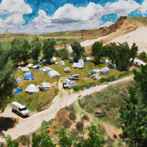 Altamont Group Campground
|
||
 Timponeeke Campground
|
||
 Timpooneke
|
||
 Little Mill
|
||
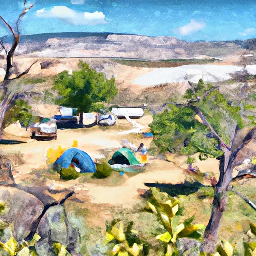 Little Mill Campground
|
||
 Mount Timpanogos Campground
|
River Runs
-
 Mt Timpanogos Wilderenss Boundary To Scout Falls
-
 Confluence Below Timpooneke To Mt Timpanogos Wilderness Boundary
-
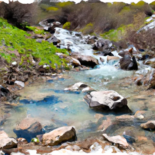 Headwater Spring In Sec 8 To Mt Timpanogos Wilderness Boundary
-
 Mt Timpanogos Wilderness Boundary To Theater-In-The-Pines
-
 Tibble Res Down
-
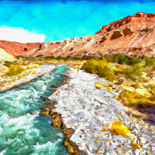 Eastern Boundary Of National Monument To Western Boundary Of National Monument






 Deer Creek State Park
 Wilderness Mount Timpanogos
 Manila Park
 Wasatch Mountain State Park
 State Wildlife Area Timpanogos
 Lake Martha
 Lake Solitude
 Silver Lake
 Lake Lillian
 Lake Florence