2026-02-19T05:00:00-07:00
* WHAT...Heavy snow. Total snow accumulations between 1 and 2 feet with locally higher accumulations up to 30 inches across the upper Cottonwoods. * WHERE...The Wasatch Mountains, and Western Uinta Mountains. * WHEN...Until 5 AM MST Thursday. * IMPACTS...Winter driving conditions can be expected on all mountain routes. Traction restrictions are likely.
Summary
The ideal streamflow range for this run is between 400-800 cfs, which provides Class III+ rapids. The segment mileage for this run is 5.8 miles and includes several rapids and obstacles, such as Box Elder, Zig-Zag, and Pinball. The Box Elder rapid is a technical rapid that requires precise navigation through a series of rocks and drops. The Zig-Zag rapid is a steep and narrow drop that requires quick maneuvering to avoid potential hazards. The Pinball rapid is a fast and bumpy section of the river that requires paddlers to carefully navigate through several boulders.
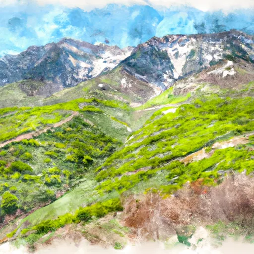
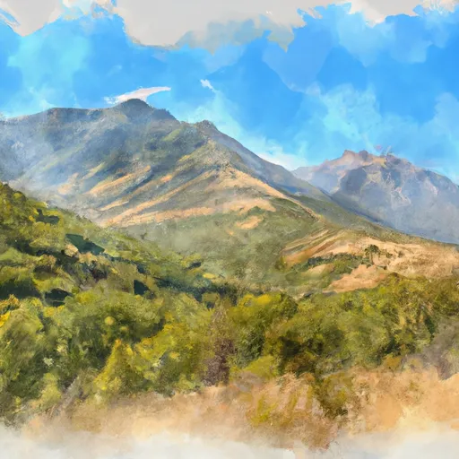
In terms of regulations, the Confluence Below Timpooneke To Mt Timpanogos Wilderness Boundary run is located within the Wasatch-Cache National Forest and is subject to specific regulations. Paddlers are required to obtain a permit from the Forest Service to access the river. Additionally, there are restrictions on the use of motorized equipment and the collection of natural resources in the area to protect the surrounding ecosystem. Overall, this whitewater river run offers challenging rapids and beautiful scenery for experienced paddlers seeking a thrilling adventure in Utah.
°F
°F
mph
Wind
%
Humidity
15-Day Weather Outlook
River Run Details
| Last Updated | 2026-02-07 |
| River Levels | 337 cfs (7.34 ft) |
| Percent of Normal | 66% |
| Status | |
| Class Level | iii+ |
| Elevation | ft |
| Streamflow Discharge | cfs |
| Gauge Height | ft |
| Reporting Streamgage | USGS 10164500 |
5-Day Hourly Forecast Detail
Nearby Streamflow Levels
Area Campgrounds
| Location | Reservations | Toilets |
|---|---|---|
 Timponeeke Campground
|
||
 Timpooneke
|
||
 Altamont Group Campground
|
||
 Little Mill
|
||
 Little Mill Campground
|
||
 Mount Timpanogos Campground
|
River Runs
-
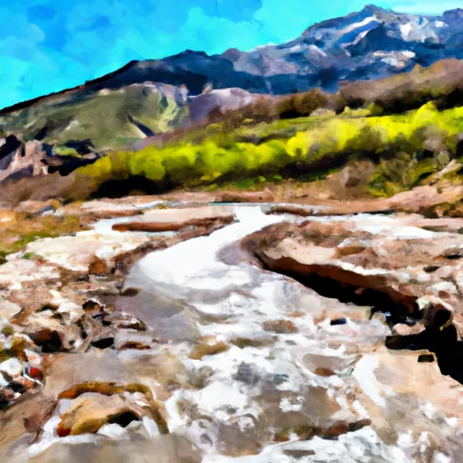 Confluence Below Timpooneke To Mt Timpanogos Wilderness Boundary
-
 Mt Timpanogos Wilderenss Boundary To Scout Falls
-
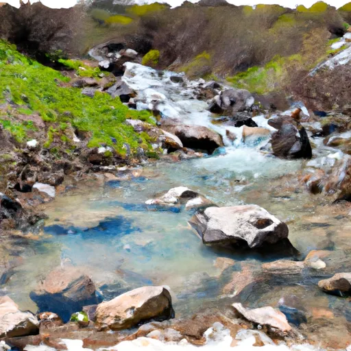 Headwater Spring In Sec 8 To Mt Timpanogos Wilderness Boundary
-
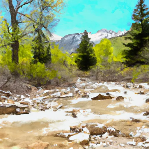 Mt Timpanogos Wilderness Boundary To Theater-In-The-Pines
-
 Tibble Res Down
-
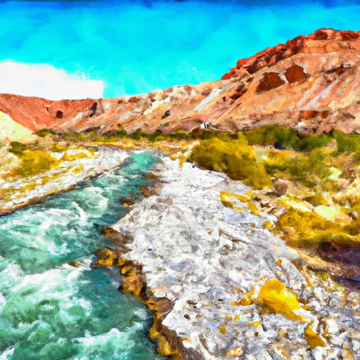 Eastern Boundary Of National Monument To Western Boundary Of National Monument


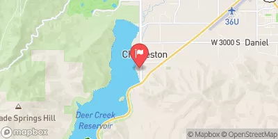

 Deer Creek State Park
 Wilderness Mount Timpanogos
 Manila Park
 State Wildlife Area Timpanogos
 Wasatch Mountain State Park
 Lake Martha
 Lake Solitude
 Silver Lake
 Lake Lillian