2026-02-19T05:00:00-07:00
* WHAT...Heavy snow. Total snow accumulations between 1 and 2 feet with locally higher accumulations up to 30 inches across the upper Cottonwoods. * WHERE...The Wasatch Mountains, and Western Uinta Mountains. * WHEN...Until 5 AM MST Thursday. * IMPACTS...Winter driving conditions can be expected on all mountain routes. Traction restrictions are likely. * ADDITIONAL DETAILS...A period of heavy snow is expected between roughly 5 AM to 11 AM, with snowfall rates generally 1 to 2 inches per hour likely, except exceeding 2 inches per hour in the Upper Cottonwoods. Northwesterly flow prevailing behind a frontal passage will result in lingering showers through the end of the day Wednesday.
Summary
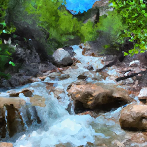
The best time to float this section of water is in the spring, when snowmelt increases the CFS to around 600-800, providing optimal conditions for rafting and kayaking. Some specific river obstacles to watch out for include the Bridal Veil Falls and the "Devil's Slide" section, which features tight turns and steep drops. Overall, this run offers a thrilling and challenging experience for intermediate-level paddlers.
°F
°F
mph
Wind
%
Humidity
15-Day Weather Outlook
River Run Details
| Last Updated | 2023-06-13 |
| River Levels | 340 cfs (6.72 ft) |
| Percent of Normal | 210% |
| Optimal Range | 600-2000 cfs |
| Status | Too Low |
| Class Level | III to IV |
| Elevation | 6,221 ft |
| Run Length | 4.0 Mi |
| Gradient | 70 FPM |
| Streamflow Discharge | 120 cfs |
| Gauge Height | 2.4 ft |
| Reporting Streamgage | USGS 10155000 |
5-Day Hourly Forecast Detail
Nearby Streamflow Levels
Area Campgrounds
| Location | Reservations | Toilets |
|---|---|---|
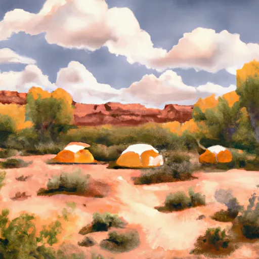 Nunns Park
|
||
 Hope
Hope
|
||
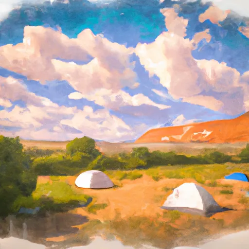 Hope Campground
|
||
 Theater-in-the-Pines Campground
|
||
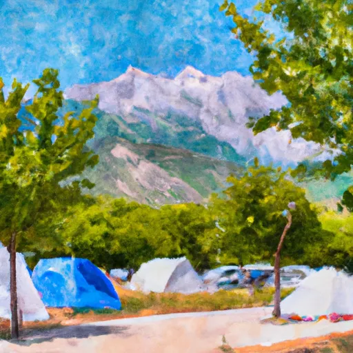 Mount Timpanogos Campground
|
||
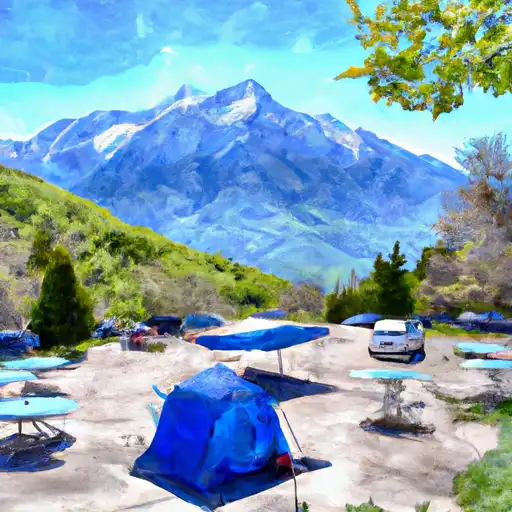 Mt. Timpanogos
|
River Runs
-
 Bridal Veil (BV)
-
 Mt Timpanogos Wilderness Boundary To Theater-In-The-Pines
-
 Headwater Spring In Sec 8 To Mt Timpanogos Wilderness Boundary
-
 Top Of Cascade Springs To Road Crossing In Section 36
-
 Confluence Below Timpooneke To Mt Timpanogos Wilderness Boundary
-
 Mt Timpanogos Wilderenss Boundary To Scout Falls


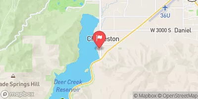
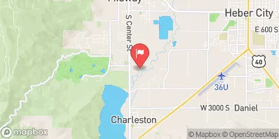


 State Route 314 Wasatch County
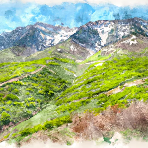 State Wildlife Area Timpanogos
 Palisade Park
 Deer Creek State Park
 Edgemont Veterans Memorial Park
 Timp Kiwanis Bounous Park