Lower Ogden
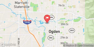
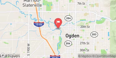
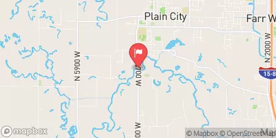
This run picks up where the 'Rainbow Gardens' section stops, with the friendly Lorin Farr wave. To summarize- sporadic plop and drop rapids for the first half, last half is 'jungle boating'. At least 1 portage(if you're running the whole thing), up to 4 portages at certain higher flows. Starts with a triple drop at the second foot bridge- where left line is friendliest, then down to Crystals Wal-Mart Wave for a fun beginner surf. If continuing on, the jungle boating starts here, then under a potential gnarly railroad bridge then down to the Car Hole, where you'll drop while eddying right(scout first if you've never seen it, or just go with someone who has) a permanent log jam after, where high flows sneak left, low flows is portage. Major jungle boating from the portage to the Weeber River confluence, where you float flat water to the take out.
Suggested river levels for paddling this section of the Ogden River are between a bare minimum of 300cfs and a high of 1,500cfs.
River conditions sourced from USGS 10137500, the South Fork Ogden River Near Huntsville
Remember only watercraft are permitted
at Lower Ogden.
Run Stats
Status | Too Low |
Class Level | III+ |
Elevation | 5,219 ft |
Run Length | 2.5 Mi |
Gradient | 16 FPM |
Streamflow Discharge | 45.7 cfs |
Gage Height | 1.5 ft |
Air Temperature | 79° |
River | Ogden River |
Reporting Streamgage |
South Fork Ogden River Near Huntsville
USGS 10137500 |
Footbridge Triple Drop
Class III+ |
Crystal's Wal-Mart Wave
Class II to II+ |
Car Hole
Class III+ |
Gauge | Streamflow | Stage |
---|---|---|
Weber River At Ogden
USGS 10137000 |
158 cfs | 4.0 ft |
Goggin Drain Near Magna Utah
USGS 10172630 |
195 cfs | 10.0 ft |
Farmington Cr Abv Div Nr Farmington
USGS 10142000 |
14 cfs | 0.7 ft |
Daniels Creek At Charleston
USGS 10157500 |
1 cfs | 3.8 ft |
Weber River At Echo
USGS 10132000 |
291 cfs | 2.6 ft |
West Canyon Creek Near Cedar Fort
USGS 10166430 |
0 cfs | 2.2 ft |
American Fk Ab Upper Powerplant Nr American Fk
USGS 10164500 |
58 cfs | 6.4 ft |
Jordan River @ 1700 South @ Salt Lake City
USGS 10171000 |
139 cfs | 3.7 ft |
Mcleod Creek Near Park City
USGS 10133600 |
9 cfs | 6.3 ft |
Weber River Near Coalville
USGS 10130500 |
214 cfs | 2.4 ft |
Snotel Site | Snowpack | 24hr Change |
---|---|---|
atwater study plot
SNOTEL ATH20_MADIS |
4" | 1" |
Campground | Campsites | Reservations | Toilets | Showers | Elevation |
---|
Ski Area | Snowpack | Air Temperature | 5 Day Forecast |
---|---|---|---|
Snowbasin | 0" | 80° | 0" |
Snowbird Ski and Summer Resort | 66" | 67° | 0" |
Powder Mountain | -1" | 77° | 0" |
River Run | Streamflow | Length | Class |
---|---|---|---|
Lower Ogden | 153.0cfs | 2.5 Mi | III+ |
Mouth of Weber Canyon to Riverdale | 0.77cfs | 10.0 Mi | III |
Ogden Play Park | 324.0cfs | 0.06 Mi | III- |
Park and Ride to Old Mill Catch Pond | 92.3cfs | 1.25 Mi | IV to V |
3rd Dam to 2nd Dam | 202.0cfs | None Mi | II+ to III |
Riverdale Wave | 0.77cfs | 0.18 Mi | III- |
Logan Town Run | 127.0cfs | None Mi | II+ to III- |
Below Ogden Play Park | 158.0cfs | 3.0 Mi | II |
Ogden Narrows | 153.0cfs | 2.0 Mi | III+ to IV |
Staircase Section - 2nd Dam to 1st Dam | 127.0cfs | None Mi | IV+ to V- |
Scrambled Eggs Bend | 308.0cfs | 4.0 Mi | IV |
Rainbow Gardens | 153.0cfs | 3.0 Mi | III to IV- |
Morgan Waterfall | 0.77cfs | 0.1 Mi | III+ |