Make an Announcement

Communicate warnings, disperse advice, and share.


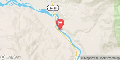
UPPER GREYS (MURPHY CREEK BRIDGE TO LYNX CREEK CAMPGROUND)

Whitewater River Run


Wyoming Greys River

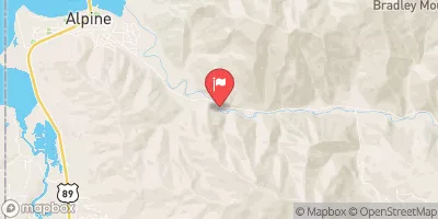
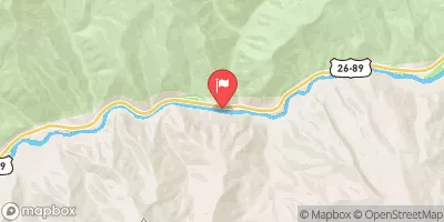
Upper Greys (Murphy Creek Bridge To Lynx Creek Campground)

Class II TO II+

STREAMFLOW: 2,590 CFS

Runnable
72°, Heavy Rain

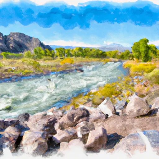
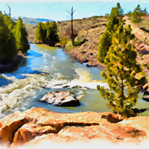
The upper Greys River, from Murphy Creek Bridge to Lynx Creek Campground, is a 9-mile river run with Class II-III rapids, making it suitable for intermediate-level kayakers and rafters. The best time to float this section is during spring runoff or early summer when the water levels are high, with recommended flow rates between 500-1000 cfs. The river features boulder gardens, tight channels, and small drops, providing an exciting run. Be aware of log jams and strainers, especially during high water, and scout the rapids beforehand. Overall, this is a fun and scenic river run that requires some experience and caution.

Weather today, Showers and thunderstorms likely, then showers and possibly a thunderstorm after 3pm. Some of the storms could produce small hail, gusty winds, and heavy rain. High near 72. East wind around 8 mph becoming southwest in the afternoon. Chance of precipitation is 80%. New rainfall amounts between a tenth and quarter of an inch, except higher amounts possible in thunderstorms.

Status Runnable
Class Level II to II+
Elevation 5,704 ft
Run Length 2.5 Mi
Gradient 21 FPM
Streamflow Discharge 2590 cfs
Gauge Height 4 ft
Reporting Streamgage Greys River Ab Reservoir Nr Alpine Wy
USGS 13023000

Nearby Streamflow Levels

Gauge Streamflow Stage
Granite C Ab Granite C Supplemental
USGS 13016305
269 cfs 5.4 ft
Snake River Ab Jackson Lake At Flagg Ranch Wy
USGS 13010065
4,330 cfs 6.3 ft
Teton River Ab South Leigh Creek Nr Driggs Id
USGS 13052200
1,550 cfs 3.6 ft
Snake River Bl Flat Creek Nr Jackson Wy
USGS 13018750
8,400 cfs 5.0 ft
Gros Ventre River At Zenith Wy
USGS 13015000
1,540 cfs 19.6 ft
Falls River Nr Squirrel Id
USGS 13047500
2,260 cfs 2.9 ft
Falls River Ab Yellowstone Canal Nr Squirrel Id
USGS 13046995
2,660 cfs 7.7 ft
Snake River Nr Irwin Id
USGS 13032500
14,200 cfs 9.2 ft
Henrys Fork Nr Ashton Id
USGS 13046000
2,250 cfs 4.0 ft
Gros Ventre River At Kelly Wy
USGS 13014500
2,010 cfs 6.6 ft
Snotel Site Snowpack 24hr Change

Popular Destinations

Campground Campsites Reservations Toilets Showers Elevation
Curtis Canyon 12 7,049 ft
Lynx Creek 10 6,195 ft
Gros Ventre - Grand Teton National Park 350 6,572 ft
Elbow 7 5,779 ft
Trail Creek - Victor 11 6,726 ft
East Table Creek 17 5,789 ft
Forest Park 12 6,947 ft
Allred Flat 32 6,779 ft
Station Creek 15 5,813 ft
Alpine 16 5,687 ft
Moose Flat 10 6,415 ft
Murphy Creek 10 6,210 ft
Cabin Creek 10 5,850 ft
Ski Area Snowpack Air Temperature 5 Day Forecast
River Run Streamflow Length Class

Log Your Visit

When was your last visit to Upper Greys (Murphy Creek Bridge to Lynx Creek Campground)?

Add a Photo

How was it? How were conditions?

Rate the paddle


Submit

Leave A Review

Upper Greys (Murphy Creek Bridge To Lynx Creek Campground)

Submit

Upload an Image

Upper Greys (Murphy Creek Bridge To Lynx Creek Campground)
Login

Need an Account?

Forgot Your Password?

Delete User Account

Welcome to Snoflo


Continue with a free account

Already Have an Account?


Snoflo Premium

Your first week's free. Cancel anytime

Have a Promo Code?


Already Have an Account?

Signup for Basic Access


Welcome to Snoflo


Continue with a free account

Add Snoflo Premium


Already Have an Account?


Please Verify Your Account

Favorite Limit Reached
Signup for a Free Account

Already Have an Account?