 Get More With Premium


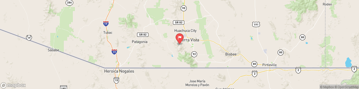
HUACHUCA CANYON NEAR FORT HUACHUCA
USGS 09471310
HIGH WIND WARNING
* WHAT...For the High Wind Warning, east to southeast winds 35 to 45 mph with gusts 55 to 75 mph expected. For the Wind Advisory, east to southeast winds 25 to 35 mph with gusts 50 to 60 mph expected. * WHERE...From central Pima County eastward excluding northern Graham and Greenlee Counties. * WHEN...For the High Wind Warning, until 5 AM MST Saturday. For the Wind Advisory, from 5 AM to 2 PM MST Saturday. ...

Today, Mostly clear, with a low around 51. Windy, with an east southeast wind 31 to 34 mph, with gusts as high as 55 mph.
Tomorrow, Mostly clear, with a low around 51. Windy, with an east southeast wind 31 to 34 mph, with gusts as high as 55 mph.
5-Day Forecast
Long Term Forecast
16-Day Forecast

