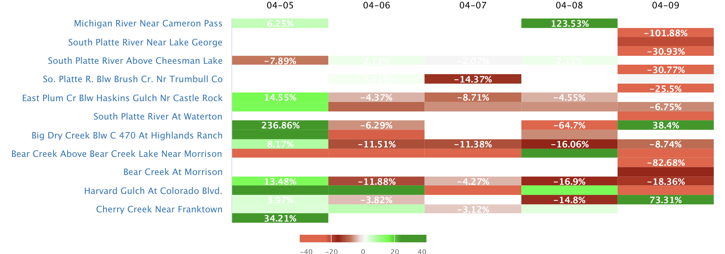
Streamflow levels across
Arizona
are currently
107.0% of normal, with the
Colorado River At Lees Ferry
reporting the highest discharge in the state with
11600cfs and gauge stage of 9.04 ft.
Meanwhile, the
Little Colorado River Near Joseph City
is seeing a spike in streamflows today after experiencing a
182.17%
increase since yesterday, and currently running at
1820cfs.
Maximum gauge stage in the state was last observed at the
South Gila Terminal Canal Wasteway Nr Yuma, currently reporting a stage of
ft.
The
Little Colorado River Near Joseph City
in the
Middle Little Colorado
watershed
is surging for this time of year at
1820cfs, about
256.58% of normal.
Surface Flow Characteristics
Arizona is a state with arid to semi-arid climate conditions. Major surface flows include the Colorado and Gila Rivers, with the former having significant impacts on water supply and hydroelectricity generation. Reservoirs and dams, such as Lake Powell and Hoover Dam, play critical roles in water storage and management. The state's hydrology is primarily influenced by snowmelt from the Rocky Mountains and the monsoon season, which brings heavy rainfall to the region during the summer months. Watershed data indicates that the Salt and Verde Rivers are the primary sources of water for the Phoenix metropolitan area. Climate change is expected to exacerbate water scarcity issues in the region, with reduced snowpack and increased temperatures leading to higher evaporation rates and reduced water availability.
Streamgauge Profile
Statewide Warnings & Alerts

Rivers of Arizona
Watersheds of Arizona
Popular Whitewater Destinations
| River Run | Status | Streamflow (CFS) | Air Temp (F) |
|---|---|---|---|
|
|
TOO HIGH | 443 | 83 |
|
|
TOO HIGH | 443 | 83 |
|
|
TOO HIGH | 443 | 83 |
|
|
RUNNABLE | 9320 | 82 |
|
|
TOO LOW | 14.9 | 81 |
|
|
TOO LOW | 30.4 | 76 |
|
|
73.27 | ||
|
|
RUNNABLE | 575 | 90 |
|
|
RUNNABLE | 127 | 88 |
|
|
67.33 | ||
|
|
65.68 |


 Snoflo Premium