 Get More With Premium


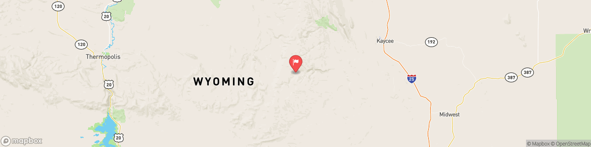
MIDDLE FORK POWDER RIVER NEAR BARNUM
USGS 06309200
WINTER WEATHER ADVISORY
* WHAT...Snow expected. Total snow accumulations 6 to 10 inches above 9000 feet. Total accumulations 10 to 15 inches at the highest elevations near Cloud Peak. Winds gusting as high as 55 mph. * WHERE...Bighorn Mountains Southeast. * WHEN...Until 5 PM MST this afternoon. * IMPACTS...Travel could be difficult across mountain passes due to a combination of falling snow and gusty winds.

Today, Snow showers, possibly mixed with rain, becoming all snow after 4am. Patchy blowing snow after 3am. Areas of fog. Snow level 8400 feet lowering to 7400 feet. Low around 28. Blustery, with a west northwest wind 18 to 23 mph, with gusts as high as 32 mph. Chance of precipitation is 90%. Total nighttime snow accumulation of less than a half inch possible.
Tomorrow, Snow showers, possibly mixed with rain, becoming all snow after 4am. Patchy blowing snow after 3am. Areas of fog. Snow level 8400 feet lowering to 7400 feet. Low around 28. Blustery, with a west northwest wind 18 to 23 mph, with gusts as high as 32 mph. Chance of precipitation is 90%. Total nighttime snow accumulation of less than a half inch possible.
5-Day Forecast
Long Term Forecast
16-Day Forecast