Ebbetts Pass Snow Report
Ebbetts Pass at a glance
How the snowpack at Ebbetts Pass looks right now, where the station sits on the map, and its key details.
Ebbetts Pass reports 1.0″ of new snowfall today, raising snowpack levels to 1 inches. Snowpack depth is 50% of normal, which is below normal for this time of year. The mountain is perched in California at an elevation of 8,765ft, where the air temperature is about 40°F right now.
Seasonal average snowpack on this calendar day is 2 inches across the station's full record. Below-normal snowpack like this typically translates to a thinner spring runoff downstream and earlier snowmelt -- worth watching for downstream water-supply forecasts.
Over the next 5 days, the snowpack at Ebbetts Pass is expected to hold near today's 0.2 inches of snow-water equivalent, toward roughly 0.1 inches by 2026-10-27.
For real-time and historical context, see the realtime view or the historical comparison. Browse other stations in the California snow report.
How does this compare to past years?
Year-over-year percentile bands, every recorded powder day, and the deepest snowpack on record each water year at this station.
Weather Forecast
Next 5 days, hour by hour
Temperature line with weather symbols on top, snow + rain accumulation as columns, humidity as a dotted line.
5-day forecast table
Every 3 hours, broken out across temperature, snow, rain, humidity, and wind.
| Time | Condition | Temp (°F) | Snow (in) | Rain (in) | Humidity (%) | Wind (mps) | Wind dir |
|---|---|---|---|---|---|---|---|
| Loading detailed forecast… | |||||||
15-day temperature & snow
Daily temperatures, snow, and rain projected over the next two weeks.
Ebbetts Pass
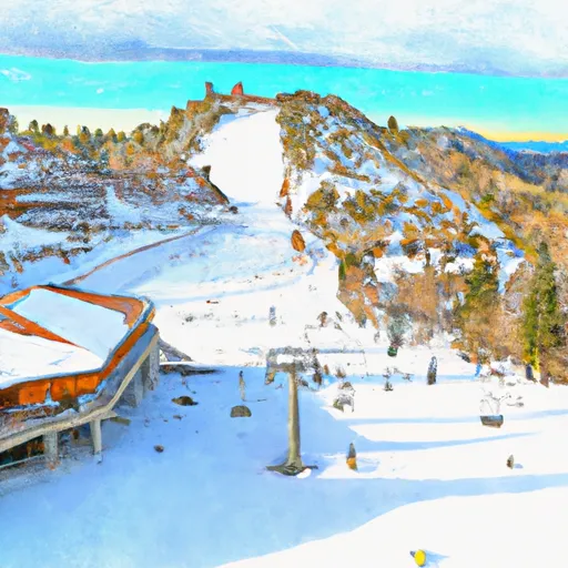
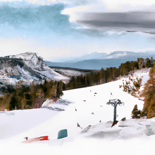
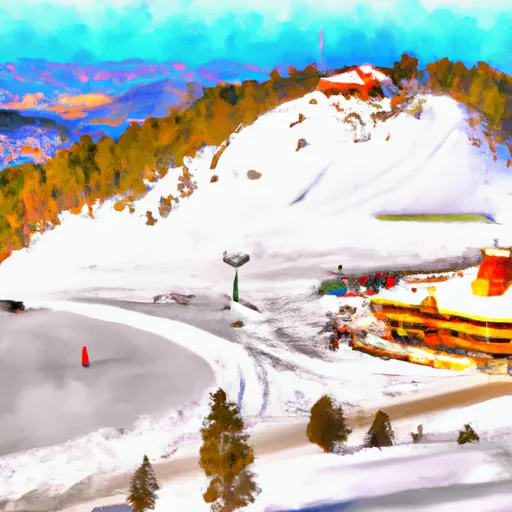
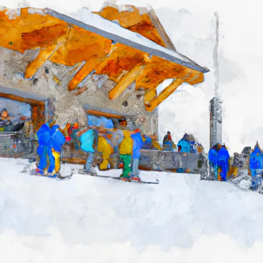
Ebbetts Pass, located in the Sierra Nevada mountain range of California, boasts an elevation of over 8,700 feet and experiences an average annual snowfall of approximately 350 inches. The average peak snowpack typically reaches depths of 150-200 inches, making it a prime location for winter sports enthusiasts. Nearby ski resorts, such as Bear Valley and Kirkwood, benefit from the consistent snowpack and draw visitors from all over the region. Climate trends in the area have shown a slight increase in temperatures, causing concerns for future snowpack levels and downstream water availability. The snowpack in Ebbetts Pass feeds several important hydrology constituents, including the Stanislaus River, the Mokelumne River, and the Calaveras River, which in turn supply water to several downstream reservoirs and creeks. The health of these water sources is critical for the surrounding ecosystem and the communities that rely on them.
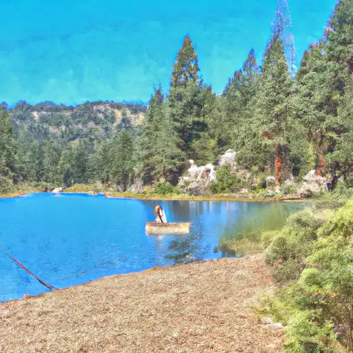
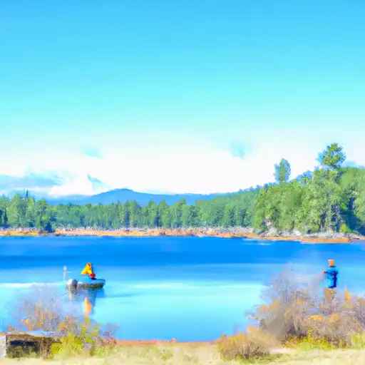
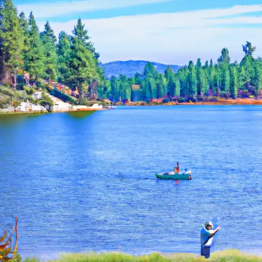
1. Hiking: Ebbetts Pass offers a variety of hiking trails for all levels of hikers. One popular hike is the Pacific Crest Trail, which passes through the area and offers stunning views of the surrounding mountains and forests. 2. Camping: There are several campgrounds near Ebbetts Pass that provide a great opportunity to experience the beauty of the Sierra Nevada Mountains. One popular campground is the Silver Creek Campground, which is located near the Mokelumne River and offers easy access to hiking trails and fishing spots. 3. Fishing: The area around Ebbetts Pass is home to numerous lakes and rivers that are perfect for fishing. One popular fishing spot is Lake Alpine, which is stocked with trout and is a great place to spend a day on the water. 4. Mountain Biking: Ebbetts Pass is a popular destination for mountain bikers, with a variety of trails suitable for all levels of riders. The Arnold Rim Trail is a popular mountain biking destination, offering stunning views of the surrounding mountains and forests. 5. Rock Climbing: The granite cliffs near Ebbetts Pass provide a great opportunity for rock climbing enthusiasts. The Bear Valley Adventure Company offers guided rock climbing excursions for all levels of climbers. Overall, Ebbetts Pass is a haven for outdoor enthusiasts, offering a wide range of recreational activities in a stunning natural setting.
Nearby snowpack depths
Cross-check whether Ebbetts Pass's snowpack is a one-off accumulation or a regional storm cycle.
| Station | Snowpack |
|---|---|
| Ebbetts Pass | 1 in |
| Nohrsc Ebbetts Pass | 1 in |
| Blue Lakes | 0 in |
| Nohrsc Spratt Creek | 0 in |
| Nohrsc Blue Lakes | 0 in |
| Spratt Creek | 1 in |


Mountain & avalanche safety
- Know before you go
- Check today's avalanche bulletin from the regional avalanche center before any backcountry / side-country travel. Conditions can shift dramatically between morning and afternoon on storm days.
- Carry the gear, know how to use it
- Beacon, shovel, probe. Practice companion rescue on a calm day, not during a real burial.
- Mind the weather window
- Heavy snow + wind builds wind slabs at ridgelines. The day after a storm is often the riskiest in the backcountry.
- Read the snowpack
- A weak, faceted, or wind-loaded snowpack — like the depth and trend shown above — is exactly what feeds slab avalanches. Dig a pit or check the bulletin before committing to steep terrain.
Track Ebbetts Pass in the Snoflo app
Save this station as a favorite, set push alerts when snowfall crosses a threshold (e.g. "alert me when Ebbetts Pass reports 6″ new"), and Snoflo's iOS app will push the moment the SNOTEL station crosses.
About Ebbetts Pass
Where does the snow data for Ebbetts Pass come from?
Snowpack depth, SWE, snowfall, and air temperature come from the NRCS SNOTEL station 462. Forecast comes from the NOAA / yr.no feed Snoflo's iOS app uses.
How often is the report updated?
NRCS SNOTEL stations report continuously (typically hourly). Snoflo refreshes throughout the day; check the "as of" timestamp on the snowpack hero card.
What's the difference between snowpack depth and SWE?
Snowpack depth measures how tall the snow is. SWE (snow water equivalent) measures how much WATER is in that snow. SWE matters more for hydrology and ski-season prediction since dry powder packs less water than wet/spring snow at the same depth.
How is "% of normal" calculated?
Today's snowpack is compared to the historical average snowpack on this calendar day across the station's full record. 100% = right on average; 130% = a big year; 60% = a thin year.
Can I get alerts when fresh snow hits?
Yes -- snow alerts are managed in the Snoflo iOS app. Favorite this station, set a snowfall threshold (e.g. "alert me when 6+ inches"), and you'll get a push the moment NRCS reports the crossing.
Create a free account, or sign in.
Get the free Ebbetts Pass report — alerts, favorites, and history & forecasts, plus the free iPhone app.