Mormon Flat Reservoir Report
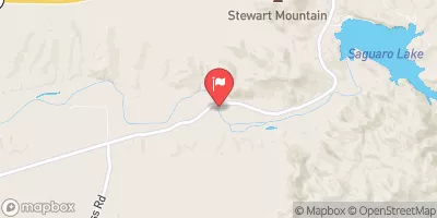
Nearby: Stewart Mountain Horse Mesa
Last Updated: February 20, 2026
Mormon Flat Dam, located on the Salt River in Maricopa County, Arizona, is a federal hydroelectric facility managed by the Bureau of Reclamation.
Summary
Completed in 1924, this concrete dam stands at a height of 224 feet and serves multiple purposes, including hydroelectric power generation and irrigation. With a storage capacity of 57,852 acre-feet and a surface area of 950 acres, Mormon Flat Dam plays a crucial role in water resource management in the region.
The dam's controlled spillway and high hazard potential underscore the importance of regular inspections and risk assessments. Despite its age, Mormon Flat Dam continues to operate under the oversight of the Bureau of Reclamation, ensuring its structural integrity and safety. The dam's location within the Los Angeles District of the US Army Corps of Engineers further emphasizes its significance in water management and climate resilience efforts in Arizona.
As a key component of the region's water infrastructure, Mormon Flat Dam represents a blend of historical engineering achievements and ongoing efforts to adapt to changing climate conditions. Its role in providing water for irrigation and electricity generation highlights the intersection of water resource management and climate resilience, making it a focal point for enthusiasts interested in sustainable water practices and the impact of climate change on infrastructure.
°F
°F
mph
Wind
%
Humidity
15-Day Weather Outlook
Year Completed |
1924 |
Dam Length |
380 |
Dam Height |
224 |
River Or Stream |
SALT RIVER |
Primary Dam Type |
Concrete |
Surface Area |
950 |
Hydraulic Height |
142 |
Drainage Area |
120 |
Nid Storage |
57852 |
Structural Height |
224 |
Hazard Potential |
High |
Foundations |
Rock |
Nid Height |
224 |
Seasonal Comparison
5-Day Hourly Forecast Detail
Nearby Streamflow Levels
Dam Data Reference
Condition Assessment
SatisfactoryNo existing or potential dam safety deficiencies are recognized. Acceptable performance is expected under all loading conditions (static, hydrologic, seismic) in accordance with the minimum applicable state or federal regulatory criteria or tolerable risk guidelines.
Fair
No existing dam safety deficiencies are recognized for normal operating conditions. Rare or extreme hydrologic and/or seismic events may result in a dam safety deficiency. Risk may be in the range to take further action. Note: Rare or extreme event is defined by the regulatory agency based on their minimum
Poor A dam safety deficiency is recognized for normal operating conditions which may realistically occur. Remedial action is necessary. POOR may also be used when uncertainties exist as to critical analysis parameters which identify a potential dam safety deficiency. Investigations and studies are necessary.
Unsatisfactory
A dam safety deficiency is recognized that requires immediate or emergency remedial action for problem resolution.
Not Rated
The dam has not been inspected, is not under state or federal jurisdiction, or has been inspected but, for whatever reason, has not been rated.
Not Available
Dams for which the condition assessment is restricted to approved government users.
Hazard Potential Classification
HighDams assigned the high hazard potential classification are those where failure or mis-operation will probably cause loss of human life.
Significant
Dams assigned the significant hazard potential classification are those dams where failure or mis-operation results in no probable loss of human life but can cause economic loss, environment damage, disruption of lifeline facilities, or impact other concerns. Significant hazard potential classification dams are often located in predominantly rural or agricultural areas but could be in areas with population and significant infrastructure.
Low
Dams assigned the low hazard potential classification are those where failure or mis-operation results in no probable loss of human life and low economic and/or environmental losses. Losses are principally limited to the owner's property.
Undetermined
Dams for which a downstream hazard potential has not been designated or is not provided.
Not Available
Dams for which the downstream hazard potential is restricted to approved government users.

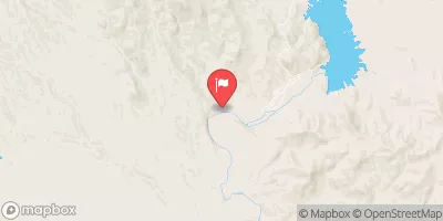
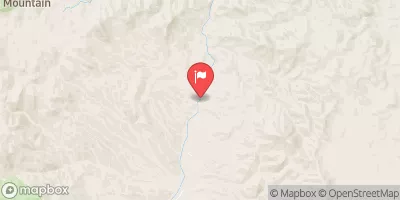
 The Point
 Canyon Lake Campground
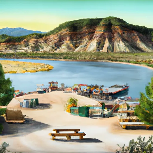 The Point Boat Dock, Campground and Picnic Area
 Bagley Flat Campground and Boat Dock
 Bagley Flat
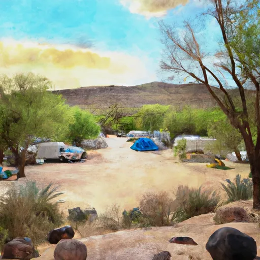 Tortilla Campground
 Mormon Flat
 Apache Trail Maricopa County
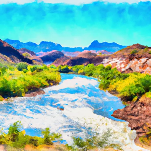 Boundary Of The Primary Jurisdiction Below Stewart Mountain Dam To Salt River Indian Reservation Boundary
 Lower Salt
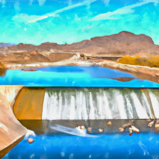 Salt River Indian Reservation Boundary To Immediately Above Granite Reef Dam Impoundment