Sandpiper Lake Dam

Sandpiper Lake Dam
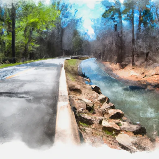
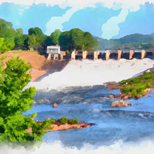
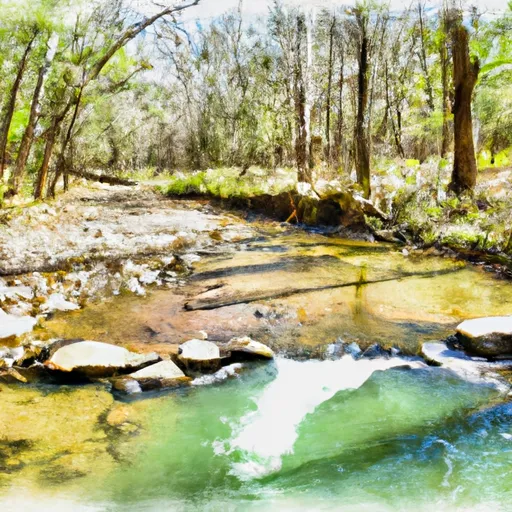
Sandpiper Lake Dam, located in Pulaski, Arkansas, is a private earth dam completed in 1970 primarily for recreational purposes. The dam stands at a hydraulic height of 30 feet and a structural height of 35 feet, with a length of 288 feet. It has a normal storage capacity of 36 acre-feet and a maximum storage of 70 acre-feet. The dam overlooks Brodie Creek-OS and is nestled in the picturesque surroundings of Little Rock.
Despite its recreational focus, Sandpiper Lake Dam is classified as having a significant hazard potential. The dam has not been rated for its condition assessment, but its emergency action plan status and risk management measures are currently unknown. The dam's spillway type and width, as well as its outlet gates and associated structures, have not been specified in the data. However, the dam's maximum discharge capacity is recorded at 402 cubic feet per second, highlighting its importance in managing water resources in the area.
As a key structure in the Vicksburg District and situated in the jurisdiction of Arkansas, Sandpiper Lake Dam serves as a critical point of interest for water resource and climate enthusiasts. The dam's role in providing recreational opportunities while managing water flow and storage underscores its significance in the local ecosystem. Its location, design, and operational aspects make it a fascinating subject for further exploration and study in the realm of water resource management and climate resilience.
Plan around the weather
Same NOAA / yr.no feed Snoflo's iOS app uses. Watch the precipitation column on the meteogram -- rain on the basin upstream typically lifts inflow 24-72 hours later.
Next 5 days, hour by hour
Temperature line with weather symbols on top, snow + rain accumulation as columns, humidity as a dotted line.
5-day forecast table
Every 3 hours, broken out across temperature, snow, rain, humidity, and wind. Each cell is colour-coded relative to the column min/max.
| Time | Condition | Temp (°F) | Snow (in) | Rain (in) | Humidity (%) | Wind (mps) | Wind dir |
|---|---|---|---|---|---|---|---|
| Loading detailed forecast… | |||||||
15-day temperature & precipitation
Daily temperatures, snow, and rain projected over the next two weeks.
Nearby streamflow gauges
USGS streamgauges around Sandpiper Lake Dam -- inflows here typically show up in storage 24-72 hours later.
| Streamgauge | Discharge | View |
|---|---|---|
| Rock Creek At 36th Street At Little Rock | 1 cfs | → |
| Maumelle River At Maumelle Dam At Natural Steps | · | → |
| Saline River At Benton | 5 cfs | → |
| Lake Maumelle At State Hwy 10 Near Wye | 293 cfs | → |
| Maumelle River At Williams Junction | 0 cfs | → |
| Bayou Meto Near Lonoke | 0 cfs | → |
Make a day of it
Boat launches, lakeside camping, fishing access, and other reservoirs near Sandpiper Lake Dam.
Boat launches
See all →


Campgrounds
See all →


Fishing spots
See all →


River runs
See all →


About Sandpiper Lake Dam
Where does the data for Sandpiper Lake Dam come from?
Structural and regulatory data come from the U.S. Army Corps of Engineers' National Inventory of Dams (NID). Weather forecast comes from NOAA / yr.no -- the same feed Snoflo's iOS app uses.
How often is the report updated?
NID structural data refreshes annually as the Corps publishes updated assessments. The weather forecast refreshes throughout the day.
What does the Significant hazard rating mean?
The Corps of Engineers' hazard potential classification grades probable consequences if the dam fails: High = probable loss of human life; Significant = no probable loss of human life but possible economic loss / environmental damage; Low = no probable loss of human life, only minor economic / environmental losses. See the Dam Data Reference card below for the full definitions.
What's "% of normal"?
The current storage value compared to the historical average storage on this calendar day. 100% = right on average; values above 100% mean above-normal storage (wet year); values below mean below-normal (dry year or drought).
Can I get alerts when storage crosses a threshold?
Yes -- alerts are managed in the Snoflo iOS app. Favorite this dam, set a threshold, and you'll get a push the moment conditions cross.
Dam data reference
Condition Assessment
- Satisfactory
- No existing or potential dam safety deficiencies are recognized. Acceptable performance is expected under all loading conditions (static, hydrologic, seismic) in accordance with the minimum applicable state or federal regulatory criteria or tolerable risk guidelines.
- Fair
- No existing dam safety deficiencies are recognized for normal operating conditions. Rare or extreme hydrologic and/or seismic events may result in a dam safety deficiency. Risk may be in the range to take further action.
- Poor
- A dam safety deficiency is recognized for normal operating conditions which may realistically occur. Remedial action is necessary. POOR may also be used when uncertainties exist as to critical analysis parameters which identify a potential dam safety deficiency.
- Unsatisfactory
- A dam safety deficiency is recognized that requires immediate or emergency remedial action for problem resolution.
- Not Rated
- The dam has not been inspected, is not under state or federal jurisdiction, or has been inspected but, for whatever reason, has not been rated.
Hazard Potential Classification
- High
- Dams assigned the high hazard potential classification are those where failure or mis-operation will probably cause loss of human life.
- Significant
- Dams assigned the significant hazard potential classification are those dams where failure or mis-operation results in no probable loss of human life but can cause economic loss, environmental damage, disruption of lifeline facilities, or impact other concerns. Significant hazard potential classification dams are often located in predominantly rural or agricultural areas but could be in areas with population and significant infrastructure.
- Low
- Dams assigned the low hazard potential classification are those where failure or mis-operation results in no probable loss of human life and low economic and/or environmental losses. Losses are principally limited to the owner's property.
- Undetermined
- Dams for which a downstream hazard potential has not been designated or is not provided.