Black Butte Dam

Black Butte Dam
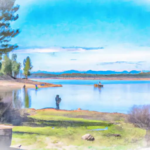
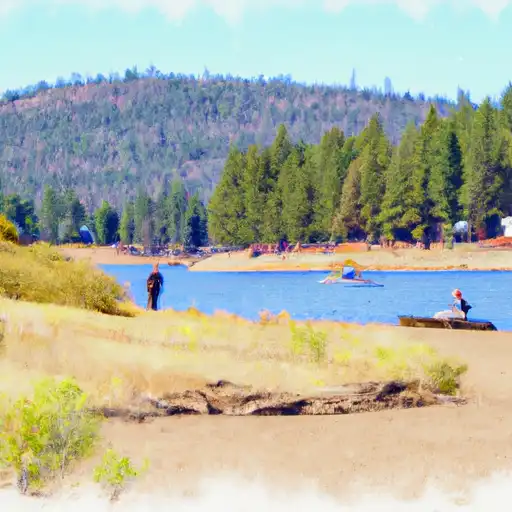
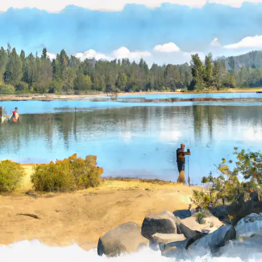
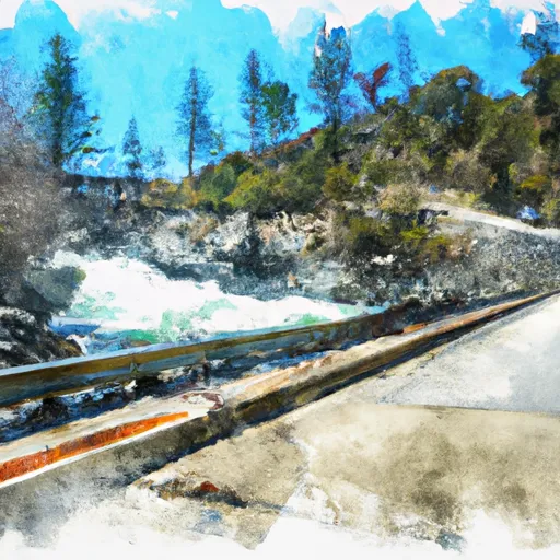
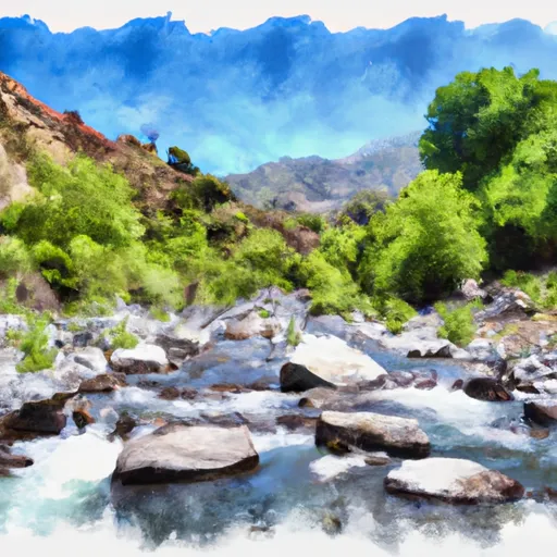
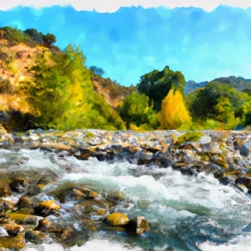
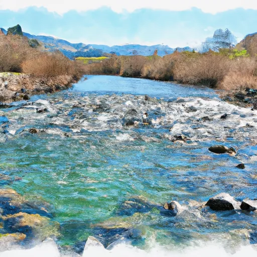
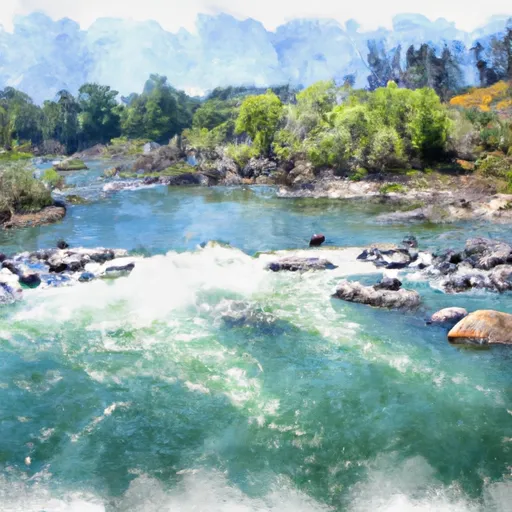
Black Butte Dam, also known as Black Butte Lake, is a federal dam located in Tehama, California. Completed in 1963 by the US Army Corps of Engineers, the primary purpose of the dam is flood risk reduction. With a height of 140 feet and a storage capacity of 354,000 acre-feet, Black Butte Dam significantly reduces the risk of flooding to downstream communities along Stoney Creek. However, there are still concerns about potential downstream flooding due to factors such as the dam's spillway and earthquake risks.
Despite the moderate risk assessment of the dam, the US Army Corps of Engineers (USACE) has implemented various risk management measures to ensure public safety. These measures include regular maintenance and inspections, emergency action plans, and coordination with local emergency managers. USACE also incorporates weather forecasts and local flow data to make informed decisions on dam operations, with the goal of providing timely warnings to downstream communities in the event of a potential flood. While the scenarios of dam failure are considered extremely unlikely, USACE remains vigilant in monitoring and managing risks to minimize the impact on human life, infrastructure, and the environment in the surrounding areas.
Plan around the weather
Same NOAA / yr.no feed Snoflo's iOS app uses. Watch the precipitation column on the meteogram -- rain on the basin upstream typically lifts inflow 24-72 hours later.
Next 5 days, hour by hour
Temperature line with weather symbols on top, snow + rain accumulation as columns, humidity as a dotted line.
5-day forecast table
Every 3 hours, broken out across temperature, snow, rain, humidity, and wind. Each cell is colour-coded relative to the column min/max.
| Time | Condition | Temp (°F) | Snow (in) | Rain (in) | Humidity (%) | Wind (mps) | Wind dir |
|---|---|---|---|---|---|---|---|
| Loading detailed forecast… | |||||||
15-day temperature & precipitation
Daily temperatures, snow, and rain projected over the next two weeks.
Nearby streamflow gauges
USGS streamgauges around Black Butte Dam -- inflows here typically show up in storage 24-72 hours later.
| Streamgauge | Discharge | View |
|---|---|---|
| Elder C Nr Paskenta Ca | 5 cfs | → |
| Mill C Nr Los Molinos Ca | 129 cfs | → |
| Deer C Nr Vina Ca | 100 cfs | → |
| Sacramento R Ab Bend Bridge Nr Red Bluff Ca | 13,200 cfs | → |
| Butte C Nr Chico Ca | 158 cfs | → |
| Cottonwood C Nr Cottonwood Ca | 62 cfs | → |


About Black Butte Dam
Where does the data for Black Butte Dam come from?
Structural and regulatory data come from the U.S. Army Corps of Engineers' National Inventory of Dams (NID). Weather forecast comes from NOAA / yr.no -- the same feed Snoflo's iOS app uses.
How often is the report updated?
NID structural data refreshes annually as the Corps publishes updated assessments. The weather forecast refreshes throughout the day.
What does the High hazard rating mean?
The Corps of Engineers' hazard potential classification grades probable consequences if the dam fails: High = probable loss of human life; Significant = no probable loss of human life but possible economic loss / environmental damage; Low = no probable loss of human life, only minor economic / environmental losses. See the Dam Data Reference card below for the full definitions.
What's "% of normal"?
The current storage value compared to the historical average storage on this calendar day. 100% = right on average; values above 100% mean above-normal storage (wet year); values below mean below-normal (dry year or drought).
Can I get alerts when storage crosses a threshold?
Yes -- alerts are managed in the Snoflo iOS app. Favorite this dam, set a threshold, and you'll get a push the moment conditions cross.
Dam data reference
Condition Assessment
- Satisfactory
- No existing or potential dam safety deficiencies are recognized. Acceptable performance is expected under all loading conditions (static, hydrologic, seismic) in accordance with the minimum applicable state or federal regulatory criteria or tolerable risk guidelines.
- Fair
- No existing dam safety deficiencies are recognized for normal operating conditions. Rare or extreme hydrologic and/or seismic events may result in a dam safety deficiency. Risk may be in the range to take further action.
- Poor
- A dam safety deficiency is recognized for normal operating conditions which may realistically occur. Remedial action is necessary. POOR may also be used when uncertainties exist as to critical analysis parameters which identify a potential dam safety deficiency.
- Unsatisfactory
- A dam safety deficiency is recognized that requires immediate or emergency remedial action for problem resolution.
- Not Rated
- The dam has not been inspected, is not under state or federal jurisdiction, or has been inspected but, for whatever reason, has not been rated.
Hazard Potential Classification
- High
- Dams assigned the high hazard potential classification are those where failure or mis-operation will probably cause loss of human life.
- Significant
- Dams assigned the significant hazard potential classification are those dams where failure or mis-operation results in no probable loss of human life but can cause economic loss, environmental damage, disruption of lifeline facilities, or impact other concerns. Significant hazard potential classification dams are often located in predominantly rural or agricultural areas but could be in areas with population and significant infrastructure.
- Low
- Dams assigned the low hazard potential classification are those where failure or mis-operation results in no probable loss of human life and low economic and/or environmental losses. Losses are principally limited to the owner's property.
- Undetermined
- Dams for which a downstream hazard potential has not been designated or is not provided.