


Lippert Reservoir 2 (Upper) Reservoir Report
Last Updated: May 3, 2026
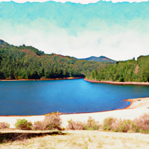
Nearby: Big Miller Lake Mcmullen Creek
°F
°F
mph
Wind
%
Humidity
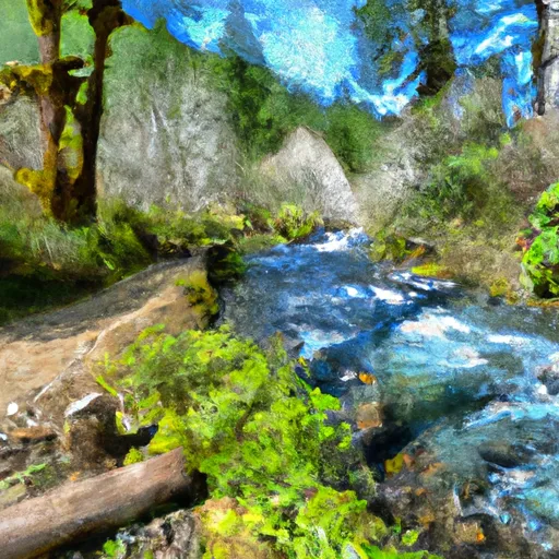
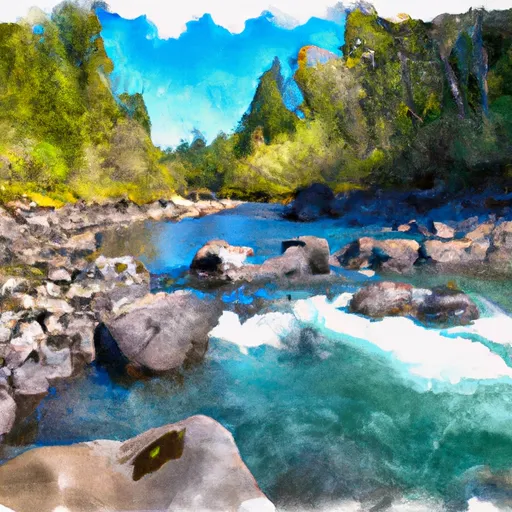
Situated in Josephine County, Oregon, the Lippert Reservoir 2 (Upper) serves as a vital irrigation source with a primary purpose of supporting agricultural activities in the region.
Summary
This private reservoir, completed in 1965, stands at a height of 30 feet and has a capacity of 365 acre-feet, providing a reliable water supply for the surrounding area. With a low hazard potential and a condition assessment that is currently not rated, the reservoir plays a crucial role in water management and conservation efforts.
Located near Powell and Meeting Creeks, the Lippert Reservoir 2 (Upper) covers a surface area of 5.7 acres and has a maximum discharge capacity of 330 cubic feet per second. Managed by the Natural Resources Conservation Service, this earth dam structure ensures efficient water storage and distribution for irrigation purposes. Despite its importance in the local agricultural sector, the reservoir has not been inspected since January 2020, highlighting the need for regular monitoring and maintenance to ensure its long-term functionality and safety.
As a regulated water resource in Oregon, the Lippert Reservoir 2 (Upper) falls under the jurisdiction of the Oregon Water Resources Department, with state permitting, inspection, and enforcement in place to oversee its operations. With its strategic location and storage capacity, this reservoir plays a crucial role in sustaining water availability for irrigation and agricultural needs in the region. Climate and water resource enthusiasts will find this reservoir to be a fascinating example of how man-made structures contribute to sustainable water management practices in a changing environment.
Regional Streamflow Levels
 Applegate River Near Applegate
|
159cfs |
 Applegate River Near Wilderville
|
227cfs |
 Rogue River At Grants Pass
|
1910cfs |
 Star Gulch Near Ruch
|
0cfs |
 Sucker Cr Bl Lt Grayback Cr Nr Holland
|
85cfs |
 Applegate River Near Copper
|
150cfs |
15-Day Long Term Forecast
Year Completed |
1965 |
Dam Length |
830 |
Dam Height |
30 |
River Or Stream |
POWELL & MEETING CREEKS |
Primary Dam Type |
Earth |
Surface Area |
5.7 |
Hydraulic Height |
26 |
Drainage Area |
0.85 |
Nid Storage |
365 |
Structural Height |
32 |
Hazard Potential |
Low |
Nid Height |
32 |
Seasonal Comparison
5-Day Hourly Forecast Detail
Dam Data Reference
Condition Assessment
SatisfactoryNo existing or potential dam safety deficiencies are recognized. Acceptable performance is expected under all loading conditions (static, hydrologic, seismic) in accordance with the minimum applicable state or federal regulatory criteria or tolerable risk guidelines.
Fair
No existing dam safety deficiencies are recognized for normal operating conditions. Rare or extreme hydrologic and/or seismic events may result in a dam safety deficiency. Risk may be in the range to take further action. Note: Rare or extreme event is defined by the regulatory agency based on their minimum
Poor A dam safety deficiency is recognized for normal operating conditions which may realistically occur. Remedial action is necessary. POOR may also be used when uncertainties exist as to critical analysis parameters which identify a potential dam safety deficiency. Investigations and studies are necessary.
Unsatisfactory
A dam safety deficiency is recognized that requires immediate or emergency remedial action for problem resolution.
Not Rated
The dam has not been inspected, is not under state or federal jurisdiction, or has been inspected but, for whatever reason, has not been rated.
Not Available
Dams for which the condition assessment is restricted to approved government users.
Hazard Potential Classification
HighDams assigned the high hazard potential classification are those where failure or mis-operation will probably cause loss of human life.
Significant
Dams assigned the significant hazard potential classification are those dams where failure or mis-operation results in no probable loss of human life but can cause economic loss, environment damage, disruption of lifeline facilities, or impact other concerns. Significant hazard potential classification dams are often located in predominantly rural or agricultural areas but could be in areas with population and significant infrastructure.
Low
Dams assigned the low hazard potential classification are those where failure or mis-operation results in no probable loss of human life and low economic and/or environmental losses. Losses are principally limited to the owner's property.
Undetermined
Dams for which a downstream hazard potential has not been designated or is not provided.
Not Available
Dams for which the downstream hazard potential is restricted to approved government users.
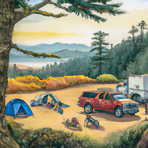
Area Campgrounds
| Location | Reservations | Toilets |
|---|---|---|
 Rogue river campground
|
||
 Riverfront
|
||
 Cantrell Buckley Park
|
||
 Chinook winds rv
|
||
 Valley of the Rogue State Park
|
||
 DrifTers
|
 Applegate Lake Near Copper
 Savage Rapids County Park
 Left Fork Foots Creek
 Grants Pass to Grave Creek
 Cheney Creek
 Headwaters To Forest Road 960
 Headwaters At 4800 Ft Contour Line To Boundary Of The Cave/Underground River Styx.
 Applegate River
 Sanger Lake
 Raspberry Lake
 Muslatt Lake
 Dry Lake
 Iron Gate Reservoir