Gobbo #2 Dam

Gobbo #2
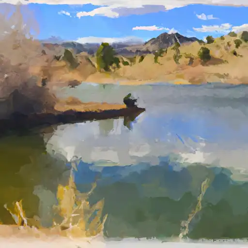
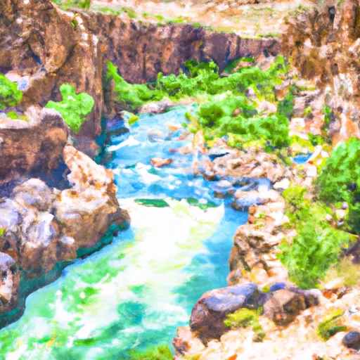
Gobbo #2 is a privately-owned earth dam located in Mesa, Colorado, on the Moore Creek. This recreational dam stands at a height of 30 feet with a hydraulic height of 30 feet and a structural height of 40 feet. Completed in 1940, it serves multiple purposes including fire protection, stock, small fish pond, fish and wildlife pond, and of course, recreation. The dam has a normal storage capacity of 91 acre-feet and a maximum discharge of 272 cubic feet per second.
Despite being classified as having a low hazard potential, Gobbo #2 is in fair condition according to a 2016 assessment. The dam has slide and uncontrolled outlet gates, with a spillway width of 11 feet. It is regularly inspected every six years to ensure its safety and reliability. The surrounding area has a high risk assessment level of 2, emphasizing the importance of proper risk management measures and emergency preparedness in the event of any unforeseen circumstances.
Water resource and climate enthusiasts will appreciate the historical significance and engineering feats of Gobbo #2, as well as its vital role in providing recreational opportunities and supporting the local ecosystem. The dam's location in the picturesque town of Whitewater adds to its charm, making it a popular destination for outdoor enthusiasts and nature lovers alike. As climate change continues to impact water resources, understanding and maintaining structures like Gobbo #2 becomes increasingly important for ensuring water security and environmental sustainability in the region.
Plan around the weather
Same NOAA / yr.no feed Snoflo's iOS app uses. Watch the precipitation column on the meteogram -- rain on the basin upstream typically lifts inflow 24-72 hours later.
Next 5 days, hour by hour
Temperature line with weather symbols on top, snow + rain accumulation as columns, humidity as a dotted line.
5-day forecast table
Every 3 hours, broken out across temperature, snow, rain, humidity, and wind. Each cell is colour-coded relative to the column min/max.
| Time | Condition | Temp (°F) | Snow (in) | Rain (in) | Humidity (%) | Wind (mps) | Wind dir |
|---|---|---|---|---|---|---|---|
| Loading detailed forecast… | |||||||
15-day temperature & precipitation
Daily temperatures, snow, and rain projected over the next two weeks.
Nearby streamflow gauges
USGS streamgauges around Gobbo #2 -- inflows here typically show up in storage 24-72 hours later.
| Streamgauge | Discharge | View |
|---|---|---|
| Gunnison River Near Grand Junction | 2,230 cfs | → |
| Dolores River Near Gateway | 17 cfs | → |
| Colorado River Near Colorado-Utah State Line | 1,580 cfs | → |
| Colo River Blw Grd Valley Div Nr Palisade Co | 294 cfs | → |
| Dolores River Near Cisco | 32 cfs | → |
| Colorado River Near Cisco | 1,610 cfs | → |


About Gobbo #2
Where does the data for Gobbo #2 come from?
Structural and regulatory data come from the U.S. Army Corps of Engineers' National Inventory of Dams (NID). Weather forecast comes from NOAA / yr.no -- the same feed Snoflo's iOS app uses.
How often is the report updated?
NID structural data refreshes annually as the Corps publishes updated assessments. The weather forecast refreshes throughout the day.
What does the Low hazard rating mean?
The Corps of Engineers' hazard potential classification grades probable consequences if the dam fails: High = probable loss of human life; Significant = no probable loss of human life but possible economic loss / environmental damage; Low = no probable loss of human life, only minor economic / environmental losses. See the Dam Data Reference card below for the full definitions.
What's "% of normal"?
The current storage value compared to the historical average storage on this calendar day. 100% = right on average; values above 100% mean above-normal storage (wet year); values below mean below-normal (dry year or drought).
Can I get alerts when storage crosses a threshold?
Yes -- alerts are managed in the Snoflo iOS app. Favorite this dam, set a threshold, and you'll get a push the moment conditions cross.
Dam data reference
Condition Assessment
- Satisfactory
- No existing or potential dam safety deficiencies are recognized. Acceptable performance is expected under all loading conditions (static, hydrologic, seismic) in accordance with the minimum applicable state or federal regulatory criteria or tolerable risk guidelines.
- Fair
- No existing dam safety deficiencies are recognized for normal operating conditions. Rare or extreme hydrologic and/or seismic events may result in a dam safety deficiency. Risk may be in the range to take further action.
- Poor
- A dam safety deficiency is recognized for normal operating conditions which may realistically occur. Remedial action is necessary. POOR may also be used when uncertainties exist as to critical analysis parameters which identify a potential dam safety deficiency.
- Unsatisfactory
- A dam safety deficiency is recognized that requires immediate or emergency remedial action for problem resolution.
- Not Rated
- The dam has not been inspected, is not under state or federal jurisdiction, or has been inspected but, for whatever reason, has not been rated.
Hazard Potential Classification
- High
- Dams assigned the high hazard potential classification are those where failure or mis-operation will probably cause loss of human life.
- Significant
- Dams assigned the significant hazard potential classification are those dams where failure or mis-operation results in no probable loss of human life but can cause economic loss, environmental damage, disruption of lifeline facilities, or impact other concerns. Significant hazard potential classification dams are often located in predominantly rural or agricultural areas but could be in areas with population and significant infrastructure.
- Low
- Dams assigned the low hazard potential classification are those where failure or mis-operation results in no probable loss of human life and low economic and/or environmental losses. Losses are principally limited to the owner's property.
- Undetermined
- Dams for which a downstream hazard potential has not been designated or is not provided.