Upper Stonewall Reservoir Report
Nearby: Park Creek Slab Canyon
Last Updated: February 22, 2026
Located in Larimer, Colorado, Upper Stonewall is a privately owned dam on the North Fork Cache La Poudre River, serving primarily for irrigation purposes.
Summary
Built in 1910, this Earth-type dam stands at a height of 10 feet with a length of 470 feet, providing a storage capacity of 65 acre-feet. With a low hazard potential but high risk assessment rating, Upper Stonewall has not been rated for its condition and lacks emergency action preparedness measures.
Despite being regulated by the state's Department of Water Resources (DWR) with permitting, inspection, and enforcement in place, Upper Stonewall's risk management measures and emergency response readiness are currently not documented. The dam's proximity to Fort Collins and its strategic location within the watershed highlights its importance in water resource management and climate resilience efforts. Enthusiasts and stakeholders in water resources and climate advocacy may find interest in monitoring the ongoing developments and enhancements needed for the safety and sustainability of Upper Stonewall.
°F
°F
mph
Wind
%
Humidity
15-Day Weather Outlook
Year Completed |
1910 |
Dam Length |
470 |
Dam Height |
10 |
River Or Stream |
N FORK CACHE LA POUDRE |
Primary Dam Type |
Earth |
Surface Area |
9 |
Hydraulic Height |
10 |
Nid Storage |
65 |
Structural Height |
10 |
Hazard Potential |
Low |
Nid Height |
10 |
Seasonal Comparison
5-Day Hourly Forecast Detail
Nearby Streamflow Levels
Dam Data Reference
Condition Assessment
SatisfactoryNo existing or potential dam safety deficiencies are recognized. Acceptable performance is expected under all loading conditions (static, hydrologic, seismic) in accordance with the minimum applicable state or federal regulatory criteria or tolerable risk guidelines.
Fair
No existing dam safety deficiencies are recognized for normal operating conditions. Rare or extreme hydrologic and/or seismic events may result in a dam safety deficiency. Risk may be in the range to take further action. Note: Rare or extreme event is defined by the regulatory agency based on their minimum
Poor A dam safety deficiency is recognized for normal operating conditions which may realistically occur. Remedial action is necessary. POOR may also be used when uncertainties exist as to critical analysis parameters which identify a potential dam safety deficiency. Investigations and studies are necessary.
Unsatisfactory
A dam safety deficiency is recognized that requires immediate or emergency remedial action for problem resolution.
Not Rated
The dam has not been inspected, is not under state or federal jurisdiction, or has been inspected but, for whatever reason, has not been rated.
Not Available
Dams for which the condition assessment is restricted to approved government users.
Hazard Potential Classification
HighDams assigned the high hazard potential classification are those where failure or mis-operation will probably cause loss of human life.
Significant
Dams assigned the significant hazard potential classification are those dams where failure or mis-operation results in no probable loss of human life but can cause economic loss, environment damage, disruption of lifeline facilities, or impact other concerns. Significant hazard potential classification dams are often located in predominantly rural or agricultural areas but could be in areas with population and significant infrastructure.
Low
Dams assigned the low hazard potential classification are those where failure or mis-operation results in no probable loss of human life and low economic and/or environmental losses. Losses are principally limited to the owner's property.
Undetermined
Dams for which a downstream hazard potential has not been designated or is not provided.
Not Available
Dams for which the downstream hazard potential is restricted to approved government users.
Area Campgrounds
| Location | Reservations | Toilets |
|---|---|---|
 Ansel Watrous Campground
|
||
 Ansel Watrous
|
||
 Stove Prairie
|
||
 Stove Prairie Campground
|

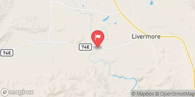
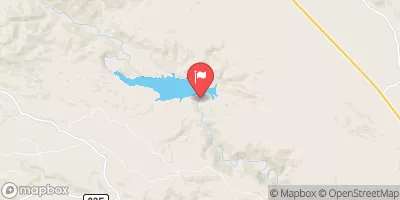
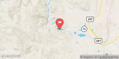


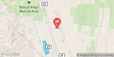
 Upper Stonewall
 Bridges River Access Point (Take-Out #2)
 Lower North Fork
 Filter Plant
 Co Dow Anlger Access Trail To Nf Boundary On East Section Line, Sec 24, T11N, R72W
 Intermittent Stream To Junction With Co Division Of Wildlife Angler Access Trail In Sw 1/4 Sec 22, T11N, R72W