Cha02 Dam

Cha02
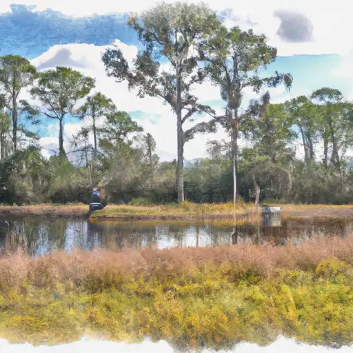
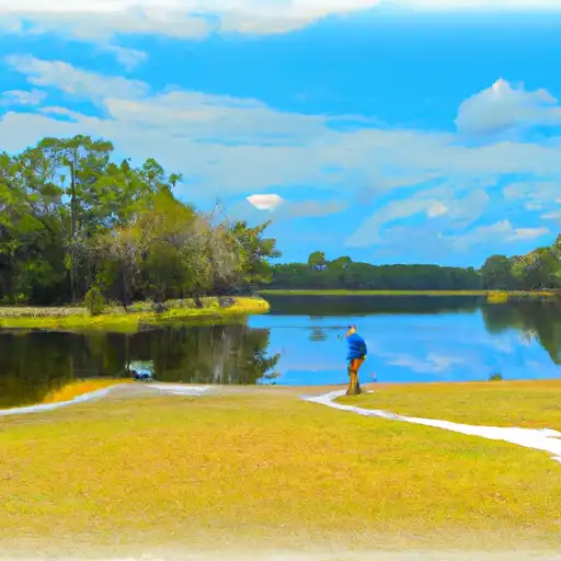
Cha02 is a private water structure located in Punta Gorda, Florida, along the Deep Creek river. This dam, primarily designed for flood risk reduction, also serves purposes such as recreation and water supply. With a height of 10 feet and a length of 75 feet, Cha02 has a maximum storage capacity of 445 acre-feet and a normal storage level of 150 acre-feet. The dam features an uncontrolled spillway with a width of 13 feet, contributing to its significant hazard potential.
The condition assessment of Cha02 conducted in June 2016 rated its condition as fair, highlighting the need for ongoing monitoring and maintenance. With a risk assessment of moderate (3), the dam is assigned to the Jacksonville District of the US Army Corps of Engineers, indicating its importance in the region's water resource and climate management. While Cha02 has not undergone recent modifications or emergency action plan updates, its role in flood risk reduction and water management in Charlotte County remains crucial.
As a key infrastructure for water resource management in the area, Cha02's operation, inspection, and enforcement are regulated by the Florida Department of Environmental Protection. With its location in a region prone to flooding and water scarcity, the dam's maintenance and risk management measures are essential for ensuring the safety and sustainability of the surrounding communities. Water resource and climate enthusiasts will find Cha02 to be a significant structure in the ongoing efforts to mitigate flood risks and ensure reliable water supply in Charlotte County, Florida.
Plan around the weather
Same NOAA / yr.no feed Snoflo's iOS app uses. Watch the precipitation column on the meteogram -- rain on the basin upstream typically lifts inflow 24-72 hours later.
Next 5 days, hour by hour
Temperature line with weather symbols on top, snow + rain accumulation as columns, humidity as a dotted line.
5-day forecast table
Every 3 hours, broken out across temperature, snow, rain, humidity, and wind. Each cell is colour-coded relative to the column min/max.
| Time | Condition | Temp (°F) | Snow (in) | Rain (in) | Humidity (%) | Wind (mps) | Wind dir |
|---|---|---|---|---|---|---|---|
| Loading detailed forecast… | |||||||
15-day temperature & precipitation
Daily temperatures, snow, and rain projected over the next two weeks.
Nearby streamflow gauges
USGS streamgauges around Cha02 -- inflows here typically show up in storage 24-72 hours later.
| Streamgauge | Discharge | View |
|---|---|---|
| Shell Creek Near Punta Gorda Fl | 53 cfs | → |
| Prairie Creek On Cr 764 Near Punta Gorda Fl | 65 cfs | → |
| Shell Creek On Cr 764 Near Punta Gorda Fl | 16 cfs | → |
| Shell Creek At Circle K Groves Near Ft Ogden Fl | 9 cfs | → |
| Big Slough At West Price Blvd Near North Port Fl | 45 cfs | → |
| Big Slough At Tropicaire Blvd Near North Port Fl | 10 cfs | → |
Make a day of it
Boat launches, lakeside camping, fishing access, and other reservoirs near Cha02.
Boat launches
See all →


Campgrounds
See all →


Fishing spots
See all →


River runs
See all →


More reservoirs
See all →
About Cha02
Where does the data for Cha02 come from?
Structural and regulatory data come from the U.S. Army Corps of Engineers' National Inventory of Dams (NID). Weather forecast comes from NOAA / yr.no -- the same feed Snoflo's iOS app uses.
How often is the report updated?
NID structural data refreshes annually as the Corps publishes updated assessments. The weather forecast refreshes throughout the day.
What does the Significant hazard rating mean?
The Corps of Engineers' hazard potential classification grades probable consequences if the dam fails: High = probable loss of human life; Significant = no probable loss of human life but possible economic loss / environmental damage; Low = no probable loss of human life, only minor economic / environmental losses. See the Dam Data Reference card below for the full definitions.
What's "% of normal"?
The current storage value compared to the historical average storage on this calendar day. 100% = right on average; values above 100% mean above-normal storage (wet year); values below mean below-normal (dry year or drought).
Can I get alerts when storage crosses a threshold?
Yes -- alerts are managed in the Snoflo iOS app. Favorite this dam, set a threshold, and you'll get a push the moment conditions cross.
Dam data reference
Condition Assessment
- Satisfactory
- No existing or potential dam safety deficiencies are recognized. Acceptable performance is expected under all loading conditions (static, hydrologic, seismic) in accordance with the minimum applicable state or federal regulatory criteria or tolerable risk guidelines.
- Fair
- No existing dam safety deficiencies are recognized for normal operating conditions. Rare or extreme hydrologic and/or seismic events may result in a dam safety deficiency. Risk may be in the range to take further action.
- Poor
- A dam safety deficiency is recognized for normal operating conditions which may realistically occur. Remedial action is necessary. POOR may also be used when uncertainties exist as to critical analysis parameters which identify a potential dam safety deficiency.
- Unsatisfactory
- A dam safety deficiency is recognized that requires immediate or emergency remedial action for problem resolution.
- Not Rated
- The dam has not been inspected, is not under state or federal jurisdiction, or has been inspected but, for whatever reason, has not been rated.
Hazard Potential Classification
- High
- Dams assigned the high hazard potential classification are those where failure or mis-operation will probably cause loss of human life.
- Significant
- Dams assigned the significant hazard potential classification are those dams where failure or mis-operation results in no probable loss of human life but can cause economic loss, environmental damage, disruption of lifeline facilities, or impact other concerns. Significant hazard potential classification dams are often located in predominantly rural or agricultural areas but could be in areas with population and significant infrastructure.
- Low
- Dams assigned the low hazard potential classification are those where failure or mis-operation results in no probable loss of human life and low economic and/or environmental losses. Losses are principally limited to the owner's property.
- Undetermined
- Dams for which a downstream hazard potential has not been designated or is not provided.