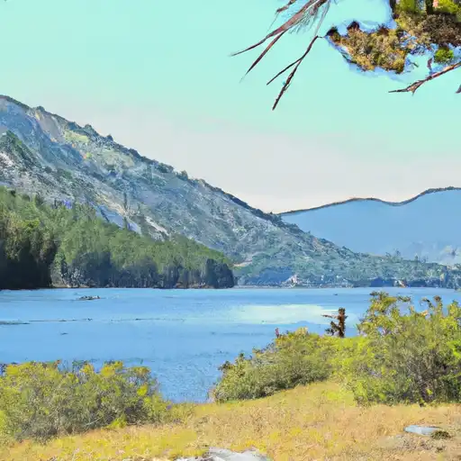
Trail Creek Dam

Trail Creek
Trail Creek, located in Park County, Wyoming, is a privately-owned Earth dam constructed in 1952 primarily for irrigation purposes. The dam stands at a height of 27 feet with a hydraulic height of 22 feet, spanning a length of 450 feet and offering a storage capacity of 46 acre-feet. Despite its low hazard potential, the dam's condition assessment is rated as poor, indicating a need for maintenance and improvement to ensure its long-term structural integrity.
With a spillway width of 30 feet and an uncontrolled spillway type, Trail Creek Dam is designed to manage potential overflow during periods of high water flow. The dam's inspection frequency is set at 5 years, with the last assessment conducted in May 2018. The risk assessment for the dam is categorized as moderate, signaling a moderate level of potential risk associated with its current condition. As a critical water resource structure in the region, ongoing monitoring and maintenance efforts are essential to mitigate risks and ensure the safety and reliability of Trail Creek Dam for both irrigation and environmental conservation purposes.
In the context of changing climate patterns and increasing water resource demands, the management and upkeep of Trail Creek Dam play a crucial role in sustaining water availability for agricultural use and ecosystem health. With state-regulated oversight and enforcement mechanisms in place, it is imperative for stakeholders to collaborate in implementing effective risk management measures and addressing the identified maintenance needs to safeguard the functionality and resilience of this vital water infrastructure asset in the face of evolving environmental challenges.
Plan around the weather
Same NOAA / yr.no feed Snoflo's iOS app uses. Watch the precipitation column on the meteogram -- rain on the basin upstream typically lifts inflow 24-72 hours later.
Next 5 days, hour by hour
Temperature line with weather symbols on top, snow + rain accumulation as columns, humidity as a dotted line.
5-day forecast table
Every 3 hours, broken out across temperature, snow, rain, humidity, and wind. Each cell is colour-coded relative to the column min/max.
| Time | Condition | Temp (°F) | Snow (in) | Rain (in) | Humidity (%) | Wind (mps) | Wind dir |
|---|---|---|---|---|---|---|---|
| Loading detailed forecast… | |||||||
15-day temperature & precipitation
Daily temperatures, snow, and rain projected over the next two weeks.
Nearby streamflow gauges
USGS streamgauges around Trail Creek -- inflows here typically show up in storage 24-72 hours later.
| Streamgauge | Discharge | View |
|---|---|---|
| Shoshone River Below Buffalo Bill Reservoir | 315 cfs | → |
| South Fork Shoshone River Ab Buffalo Bill Res | 806 cfs | → |
| North Fork Shoshone River At Wapiti | 1,180 cfs | → |
| Greybull River At Meeteetse | 338 cfs | → |
| South Fork Shoshone River Near Valley | 187 cfs | → |
| Clarks Fork Yellowstone River Nr Belfry Mt | 2,440 cfs | → |


About Trail Creek
Where does the data for Trail Creek come from?
Structural and regulatory data come from the U.S. Army Corps of Engineers' National Inventory of Dams (NID). Weather forecast comes from NOAA / yr.no -- the same feed Snoflo's iOS app uses.
How often is the report updated?
NID structural data refreshes annually as the Corps publishes updated assessments. The weather forecast refreshes throughout the day.
What does the Low hazard rating mean?
The Corps of Engineers' hazard potential classification grades probable consequences if the dam fails: High = probable loss of human life; Significant = no probable loss of human life but possible economic loss / environmental damage; Low = no probable loss of human life, only minor economic / environmental losses. See the Dam Data Reference card below for the full definitions.
What's "% of normal"?
The current storage value compared to the historical average storage on this calendar day. 100% = right on average; values above 100% mean above-normal storage (wet year); values below mean below-normal (dry year or drought).
Can I get alerts when storage crosses a threshold?
Yes -- alerts are managed in the Snoflo iOS app. Favorite this dam, set a threshold, and you'll get a push the moment conditions cross.
Dam data reference
Condition Assessment
- Satisfactory
- No existing or potential dam safety deficiencies are recognized. Acceptable performance is expected under all loading conditions (static, hydrologic, seismic) in accordance with the minimum applicable state or federal regulatory criteria or tolerable risk guidelines.
- Fair
- No existing dam safety deficiencies are recognized for normal operating conditions. Rare or extreme hydrologic and/or seismic events may result in a dam safety deficiency. Risk may be in the range to take further action.
- Poor
- A dam safety deficiency is recognized for normal operating conditions which may realistically occur. Remedial action is necessary. POOR may also be used when uncertainties exist as to critical analysis parameters which identify a potential dam safety deficiency.
- Unsatisfactory
- A dam safety deficiency is recognized that requires immediate or emergency remedial action for problem resolution.
- Not Rated
- The dam has not been inspected, is not under state or federal jurisdiction, or has been inspected but, for whatever reason, has not been rated.
Hazard Potential Classification
- High
- Dams assigned the high hazard potential classification are those where failure or mis-operation will probably cause loss of human life.
- Significant
- Dams assigned the significant hazard potential classification are those dams where failure or mis-operation results in no probable loss of human life but can cause economic loss, environmental damage, disruption of lifeline facilities, or impact other concerns. Significant hazard potential classification dams are often located in predominantly rural or agricultural areas but could be in areas with population and significant infrastructure.
- Low
- Dams assigned the low hazard potential classification are those where failure or mis-operation results in no probable loss of human life and low economic and/or environmental losses. Losses are principally limited to the owner's property.
- Undetermined
- Dams for which a downstream hazard potential has not been designated or is not provided.