


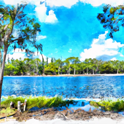
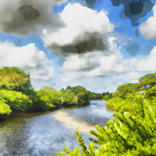
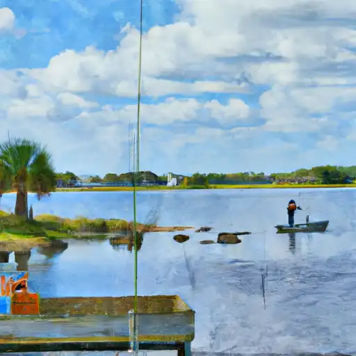
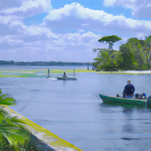
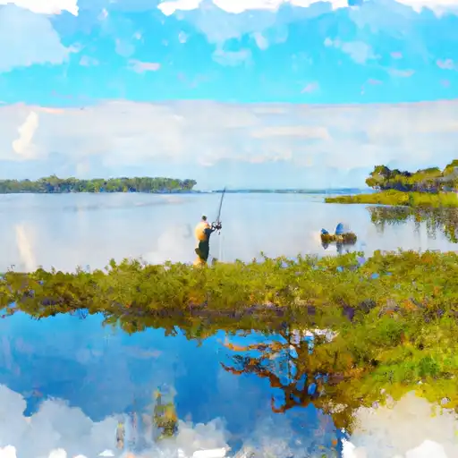
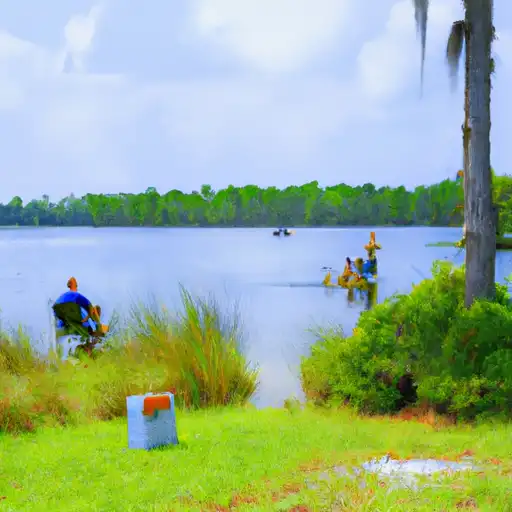
Ward Lake Near Bradenton Fl Reservoir Report
Last Updated: May 1, 2026
°F
°F
mph
Wind
%
Humidity
Ward Lake, located near Bradenton, Florida, has a rich history dating back to the 1800s.
Summary
The lake is fed by the Braden River and is connected to several other lakes in the area through a series of canals. The hydrology of Ward Lake is mainly influenced by precipitation and surface runoff, as well as groundwater discharge. There are no known snowpack providers in the area. The lake is surrounded by agricultural land, and it is used for irrigation purposes. Recreational uses include fishing, boating, and wildlife viewing. The lake is home to a variety of fish species, including largemouth bass, bluegill, and catfish. The surrounding area also provides habitat for a diverse range of bird species. Overall, Ward Lake is an important natural resource for the Bradenton area.
Regional Streamflow Levels
15-Day Long Term Forecast
Reservoir Details
| Gage Height, Ft 24hr Change | -1.16% |
| Percent of Normal | 112% |
| Minimum |
0.01 ft
2012-05-31 |
| Maximum |
7.0 ft
2024-08-06 |
| Average | 3 ft |
| Dam_Height | 12 |
| Hydraulic_Height | 12 |
| Year_Completed | 1973 |
| Nid_Storage | 240 |
| Structural_Height | 8 |
| Primary_Dam_Type | Earth |
| River_Or_Stream | BRADEN RIVER |
| Surface_Area | 20 |
| Hazard_Potential | Low |
| Outlet_Gates | Uncontrolled |
| Dam_Length | 850 |
| Nid_Height | 12 |
Seasonal Comparison
Precipitation, Total, In Levels
Streamflow, Ft³/S Levels
Gage Height, Ft Levels
5-Day Hourly Forecast Detail
Dam Data Reference
Condition Assessment
SatisfactoryNo existing or potential dam safety deficiencies are recognized. Acceptable performance is expected under all loading conditions (static, hydrologic, seismic) in accordance with the minimum applicable state or federal regulatory criteria or tolerable risk guidelines.
Fair
No existing dam safety deficiencies are recognized for normal operating conditions. Rare or extreme hydrologic and/or seismic events may result in a dam safety deficiency. Risk may be in the range to take further action. Note: Rare or extreme event is defined by the regulatory agency based on their minimum
Poor A dam safety deficiency is recognized for normal operating conditions which may realistically occur. Remedial action is necessary. POOR may also be used when uncertainties exist as to critical analysis parameters which identify a potential dam safety deficiency. Investigations and studies are necessary.
Unsatisfactory
A dam safety deficiency is recognized that requires immediate or emergency remedial action for problem resolution.
Not Rated
The dam has not been inspected, is not under state or federal jurisdiction, or has been inspected but, for whatever reason, has not been rated.
Not Available
Dams for which the condition assessment is restricted to approved government users.
Hazard Potential Classification
HighDams assigned the high hazard potential classification are those where failure or mis-operation will probably cause loss of human life.
Significant
Dams assigned the significant hazard potential classification are those dams where failure or mis-operation results in no probable loss of human life but can cause economic loss, environment damage, disruption of lifeline facilities, or impact other concerns. Significant hazard potential classification dams are often located in predominantly rural or agricultural areas but could be in areas with population and significant infrastructure.
Low
Dams assigned the low hazard potential classification are those where failure or mis-operation results in no probable loss of human life and low economic and/or environmental losses. Losses are principally limited to the owner's property.
Undetermined
Dams for which a downstream hazard potential has not been designated or is not provided.
Not Available
Dams for which the downstream hazard potential is restricted to approved government users.
Area Campgrounds
| Location | Reservations | Toilets |
|---|---|---|
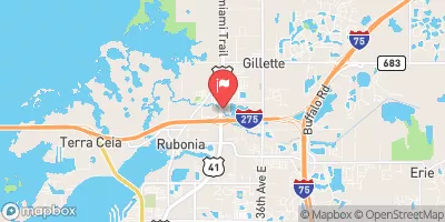
 Lake Manatee State Park
|
||
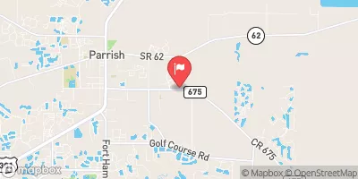
 Little Manatee River State Park
|
||
 Youth Camping
|
||
 PR78
PR78
|
||
 PR79
PR79
|
||
 PR77
PR77
|
 Ward Lake Near Bradenton Fl
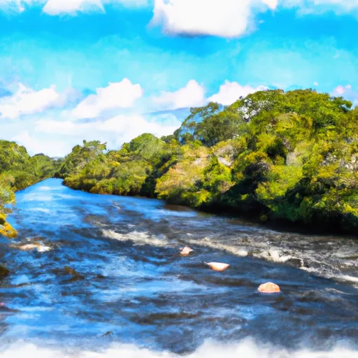
 Braden River
River Runs
-
 County Road 780 Bridge To State Road 72 Bridge
-
 Begins Downstream Of The State Road 72 Bridge To The Southern Boundary Of Myakka River State Park
-
 The Southern Boundary Of The Myakka River State Park To Ends Approximately At River Mile 23 Where Riverfront Residential Development Begins
-
 Approximately At River Mile 23 Where Riverfront Residential Development Begins To The Vicinity Of Snook Haven Fish Camp At Approximately River Mile 18
-
 Approximately River Mile 18 To A Point Just Upriver Of The Us 41 Highway Crossing
-
 A Point Just Upriver Of The Us 41 Highway Crossing To The Sarasota/Charlotte County Line
 Industrial Lake
 Lake Manatee
 Upper Myakka Lake
 Lake Myakka
 Carlton Lake