Moxie Dam

Moxie
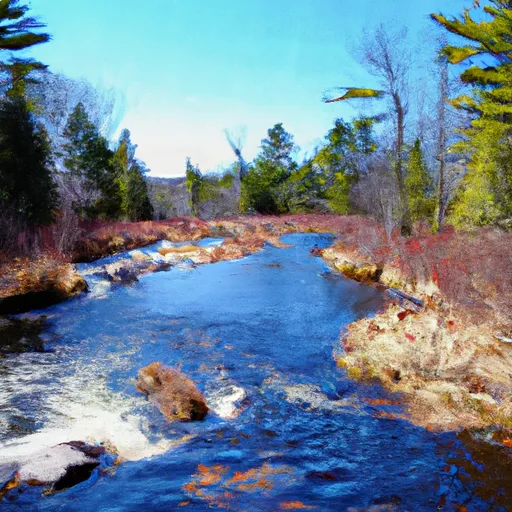
Moxie, a privately owned hydroelectric dam located on Moxie Stream in Somerset, Maine, stands as a testament to sustainable water resource management. Completed in 1925, this concrete dam serves multiple purposes, including flood risk reduction, recreation, and water supply in addition to hydroelectric power generation. With a height of 19 feet and a storage capacity of 24,960 acre-feet, Moxie contributes significantly to the region's water resource infrastructure.
Managed by the Maine Emergency Management Agency (MEMA), Moxie is subject to state regulations for permitting, inspection, and enforcement to ensure its safe operation. The dam's hazard potential is deemed significant, but its condition assessment as of September 2015 was satisfactory. With a spillway width of 112 feet, Moxie is well-equipped to handle potential discharge events and mitigate risks associated with its operation.
While specific details regarding the dam's risk assessment, emergency action plan, and inundation maps are currently unavailable, Moxie's role in supporting fish and wildlife habitats, as well as its contribution to the local economy through recreation and water supply, underscores the importance of sustainable water resource management in a changing climate. As water resource and climate enthusiasts, the intricate balance between infrastructure development, environmental conservation, and community resilience embodied by Moxie serves as a compelling case study for the future of water management practices.
Plan around the weather
Same NOAA / yr.no feed Snoflo's iOS app uses. Watch the precipitation column on the meteogram -- rain on the basin upstream typically lifts inflow 24-72 hours later.
Next 5 days, hour by hour
Temperature line with weather symbols on top, snow + rain accumulation as columns, humidity as a dotted line.
5-day forecast table
Every 3 hours, broken out across temperature, snow, rain, humidity, and wind. Each cell is colour-coded relative to the column min/max.
| Time | Condition | Temp (°F) | Snow (in) | Rain (in) | Humidity (%) | Wind (mps) | Wind dir |
|---|---|---|---|---|---|---|---|
| Loading detailed forecast… | |||||||
15-day temperature & precipitation
Daily temperatures, snow, and rain projected over the next two weeks.
Nearby streamflow gauges
USGS streamgauges around Moxie -- inflows here typically show up in storage 24-72 hours later.
| Streamgauge | Discharge | View |
|---|---|---|
| Kennebec River At The Forks | 481 cfs | → |
| Piscataquis River At Blanchard | 15 cfs | → |
| Spencer Stream At Mouth | 73 cfs | → |
| Dead River Near Dead River | 313 cfs | → |
| Austin Stream At Bingham | 12 cfs | → |
| Kennebec River At Bingham | 1,520 cfs | → |
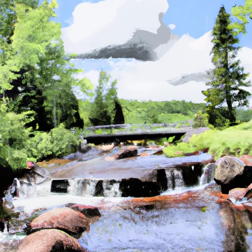
Make a day of it
Boat launches, lakeside camping, fishing access, and other reservoirs near Moxie.
Boat launches
See all →


Campgrounds
See all →


River runs
See all →


About Moxie
Where does the data for Moxie come from?
Structural and regulatory data come from the U.S. Army Corps of Engineers' National Inventory of Dams (NID). Weather forecast comes from NOAA / yr.no -- the same feed Snoflo's iOS app uses.
How often is the report updated?
NID structural data refreshes annually as the Corps publishes updated assessments. The weather forecast refreshes throughout the day.
What does the Significant hazard rating mean?
The Corps of Engineers' hazard potential classification grades probable consequences if the dam fails: High = probable loss of human life; Significant = no probable loss of human life but possible economic loss / environmental damage; Low = no probable loss of human life, only minor economic / environmental losses. See the Dam Data Reference card below for the full definitions.
What's "% of normal"?
The current storage value compared to the historical average storage on this calendar day. 100% = right on average; values above 100% mean above-normal storage (wet year); values below mean below-normal (dry year or drought).
Can I get alerts when storage crosses a threshold?
Yes -- alerts are managed in the Snoflo iOS app. Favorite this dam, set a threshold, and you'll get a push the moment conditions cross.
Dam data reference
Condition Assessment
- Satisfactory
- No existing or potential dam safety deficiencies are recognized. Acceptable performance is expected under all loading conditions (static, hydrologic, seismic) in accordance with the minimum applicable state or federal regulatory criteria or tolerable risk guidelines.
- Fair
- No existing dam safety deficiencies are recognized for normal operating conditions. Rare or extreme hydrologic and/or seismic events may result in a dam safety deficiency. Risk may be in the range to take further action.
- Poor
- A dam safety deficiency is recognized for normal operating conditions which may realistically occur. Remedial action is necessary. POOR may also be used when uncertainties exist as to critical analysis parameters which identify a potential dam safety deficiency.
- Unsatisfactory
- A dam safety deficiency is recognized that requires immediate or emergency remedial action for problem resolution.
- Not Rated
- The dam has not been inspected, is not under state or federal jurisdiction, or has been inspected but, for whatever reason, has not been rated.
Hazard Potential Classification
- High
- Dams assigned the high hazard potential classification are those where failure or mis-operation will probably cause loss of human life.
- Significant
- Dams assigned the significant hazard potential classification are those dams where failure or mis-operation results in no probable loss of human life but can cause economic loss, environmental damage, disruption of lifeline facilities, or impact other concerns. Significant hazard potential classification dams are often located in predominantly rural or agricultural areas but could be in areas with population and significant infrastructure.
- Low
- Dams assigned the low hazard potential classification are those where failure or mis-operation results in no probable loss of human life and low economic and/or environmental losses. Losses are principally limited to the owner's property.
- Undetermined
- Dams for which a downstream hazard potential has not been designated or is not provided.