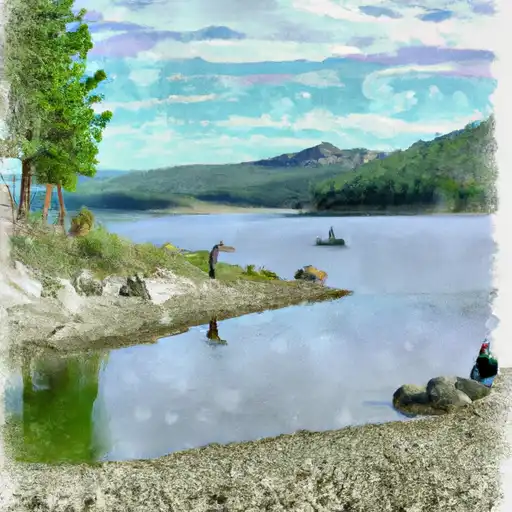
Lower Dry Fork Dam

Lower Dry Fork
Lower Dry Fork is a federal-owned irrigation dam located in Sanders, Montana, managed by the Bureau of Indian Affairs. Completed in 1921, this Earth dam stands at a structural height of 37 feet and has a length of 2700 feet, providing a normal storage capacity of 3860 acre-feet for irrigation purposes. Despite its age, the dam has a high hazard potential and is classified as a very high risk due to its condition assessment not being available.
The Lower Dry Fork dam is situated on the Dry Fork river and is under the jurisdiction of the DOI BIA. With a controlled spillway type and a high-risk designation, this dam poses a significant threat in case of failure. The last inspection was conducted in 2011, with a 5-year inspection frequency, indicating the importance of regular monitoring and maintenance to ensure the safety of the surrounding area and water resources.
For water resource and climate enthusiasts, the Lower Dry Fork dam serves as a critical infrastructure for irrigation in the region, highlighting the intersection of water management, infrastructure maintenance, and environmental risk assessment. As discussions on climate change intensify, the resilience and safety of dams like Lower Dry Fork will be crucial in adapting to changing environmental conditions and ensuring sustainable water resource management for the future.
Plan around the weather
Same NOAA / yr.no feed Snoflo's iOS app uses. Watch the precipitation column on the meteogram -- rain on the basin upstream typically lifts inflow 24-72 hours later.
Next 5 days, hour by hour
Temperature line with weather symbols on top, snow + rain accumulation as columns, humidity as a dotted line.
5-day forecast table
Every 3 hours, broken out across temperature, snow, rain, humidity, and wind. Each cell is colour-coded relative to the column min/max.
| Time | Condition | Temp (°F) | Snow (in) | Rain (in) | Humidity (%) | Wind (mps) | Wind dir |
|---|---|---|---|---|---|---|---|
| Loading detailed forecast… | |||||||
15-day temperature & precipitation
Daily temperatures, snow, and rain projected over the next two weeks.
Nearby streamflow gauges
USGS streamgauges around Lower Dry Fork -- inflows here typically show up in storage 24-72 hours later.
| Streamgauge | Discharge | View |
|---|---|---|
| Mill Cr Ab Bassoo Cr Nr Niarada Mt | 2 cfs | → |
| Flathead River Near Polson Mt | 8,840 cfs | → |
| Clark Fork Near Plains Mt | 12,800 cfs | → |
| Flathead River At Perma Mt | 9,240 cfs | → |
| Thompson River Near Thompson Falls Mt | 205 cfs | → |
| Prospect Creek At Thompson Falls Mt | 73 cfs | → |


About Lower Dry Fork
Where does the data for Lower Dry Fork come from?
Structural and regulatory data come from the U.S. Army Corps of Engineers' National Inventory of Dams (NID). Weather forecast comes from NOAA / yr.no -- the same feed Snoflo's iOS app uses.
How often is the report updated?
NID structural data refreshes annually as the Corps publishes updated assessments. The weather forecast refreshes throughout the day.
What does the High hazard rating mean?
The Corps of Engineers' hazard potential classification grades probable consequences if the dam fails: High = probable loss of human life; Significant = no probable loss of human life but possible economic loss / environmental damage; Low = no probable loss of human life, only minor economic / environmental losses. See the Dam Data Reference card below for the full definitions.
What's "% of normal"?
The current storage value compared to the historical average storage on this calendar day. 100% = right on average; values above 100% mean above-normal storage (wet year); values below mean below-normal (dry year or drought).
Can I get alerts when storage crosses a threshold?
Yes -- alerts are managed in the Snoflo iOS app. Favorite this dam, set a threshold, and you'll get a push the moment conditions cross.
Dam data reference
Condition Assessment
- Satisfactory
- No existing or potential dam safety deficiencies are recognized. Acceptable performance is expected under all loading conditions (static, hydrologic, seismic) in accordance with the minimum applicable state or federal regulatory criteria or tolerable risk guidelines.
- Fair
- No existing dam safety deficiencies are recognized for normal operating conditions. Rare or extreme hydrologic and/or seismic events may result in a dam safety deficiency. Risk may be in the range to take further action.
- Poor
- A dam safety deficiency is recognized for normal operating conditions which may realistically occur. Remedial action is necessary. POOR may also be used when uncertainties exist as to critical analysis parameters which identify a potential dam safety deficiency.
- Unsatisfactory
- A dam safety deficiency is recognized that requires immediate or emergency remedial action for problem resolution.
- Not Rated
- The dam has not been inspected, is not under state or federal jurisdiction, or has been inspected but, for whatever reason, has not been rated.
Hazard Potential Classification
- High
- Dams assigned the high hazard potential classification are those where failure or mis-operation will probably cause loss of human life.
- Significant
- Dams assigned the significant hazard potential classification are those dams where failure or mis-operation results in no probable loss of human life but can cause economic loss, environmental damage, disruption of lifeline facilities, or impact other concerns. Significant hazard potential classification dams are often located in predominantly rural or agricultural areas but could be in areas with population and significant infrastructure.
- Low
- Dams assigned the low hazard potential classification are those where failure or mis-operation results in no probable loss of human life and low economic and/or environmental losses. Losses are principally limited to the owner's property.
- Undetermined
- Dams for which a downstream hazard potential has not been designated or is not provided.