


Summary
Built in 1952 for irrigation purposes, the dam stands at a height of 28 feet and has a hydraulic height of 23 feet. With a storage capacity of 32 acre-feet, Belish has a surface area of 3 acres and a spillway width of 20 feet.
Despite its low hazard potential, Belish is currently assessed as being in poor condition, with a last inspection date of September 2021. The dam is regulated by the Wyoming State Engineer's Office and undergoes regular inspections, with a frequency of 5 years. While the risk assessment categorizes Belish as having a moderate risk level, there are no specific risk management measures or emergency action plans reported for the dam.
Overall, Belish serves as a vital infrastructure for irrigation in the region, contributing to agricultural activities in Sheridan County, Wyoming. As water resource and climate enthusiasts, monitoring the condition and maintenance of dams like Belish is crucial to ensuring the safety and sustainability of water resources in the area.
Regional Streamflow Levels
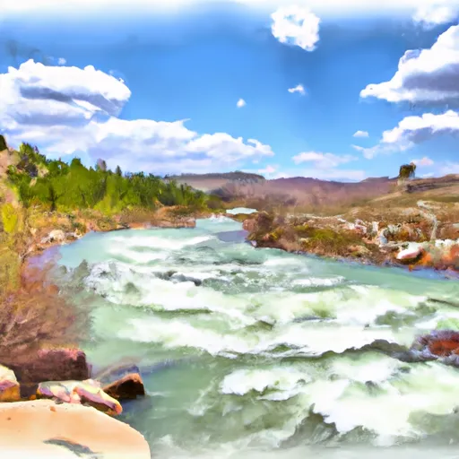
 Tongue River At Monarch
|
383cfs |
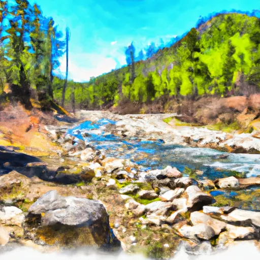
 Tongue River Near Dayton
|
48cfs |
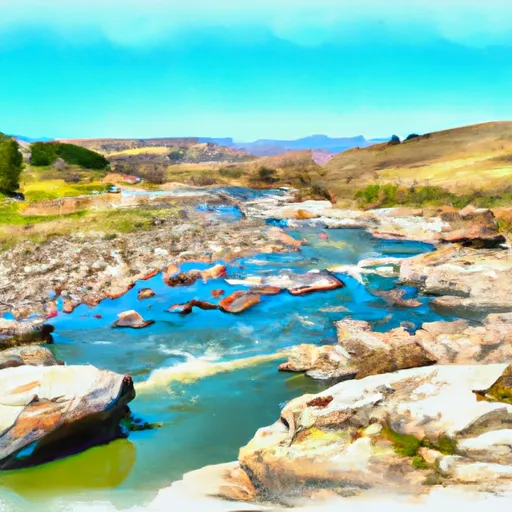
 Goose Creek Near Acme
|
123cfs |
 East Pass Creek Near Dayton
|
12cfs |
 West Pass Creek Near Parkman
|
10cfs |
 Prairie Dog Creek Near Acme
|
19cfs |
15-Day Long Term Forecast
Year Completed |
1952 |
Dam Length |
413 |
Dam Height |
28 |
River Or Stream |
EAST BRANCH N FK EARLY CK |
Primary Dam Type |
Earth |
Surface Area |
3 |
Hydraulic Height |
23 |
Nid Storage |
32 |
Structural Height |
28 |
Outlet Gates |
Valve - 1 |
Hazard Potential |
Low |
Foundations |
Soil |
Nid Height |
28 |
Seasonal Comparison
5-Day Hourly Forecast Detail
Dam Data Reference
Condition Assessment
SatisfactoryNo existing or potential dam safety deficiencies are recognized. Acceptable performance is expected under all loading conditions (static, hydrologic, seismic) in accordance with the minimum applicable state or federal regulatory criteria or tolerable risk guidelines.
Fair
No existing dam safety deficiencies are recognized for normal operating conditions. Rare or extreme hydrologic and/or seismic events may result in a dam safety deficiency. Risk may be in the range to take further action. Note: Rare or extreme event is defined by the regulatory agency based on their minimum
Poor A dam safety deficiency is recognized for normal operating conditions which may realistically occur. Remedial action is necessary. POOR may also be used when uncertainties exist as to critical analysis parameters which identify a potential dam safety deficiency. Investigations and studies are necessary.
Unsatisfactory
A dam safety deficiency is recognized that requires immediate or emergency remedial action for problem resolution.
Not Rated
The dam has not been inspected, is not under state or federal jurisdiction, or has been inspected but, for whatever reason, has not been rated.
Not Available
Dams for which the condition assessment is restricted to approved government users.
Hazard Potential Classification
HighDams assigned the high hazard potential classification are those where failure or mis-operation will probably cause loss of human life.
Significant
Dams assigned the significant hazard potential classification are those dams where failure or mis-operation results in no probable loss of human life but can cause economic loss, environment damage, disruption of lifeline facilities, or impact other concerns. Significant hazard potential classification dams are often located in predominantly rural or agricultural areas but could be in areas with population and significant infrastructure.
Low
Dams assigned the low hazard potential classification are those where failure or mis-operation results in no probable loss of human life and low economic and/or environmental losses. Losses are principally limited to the owner's property.
Undetermined
Dams for which a downstream hazard potential has not been designated or is not provided.
Not Available
Dams for which the downstream hazard potential is restricted to approved government users.
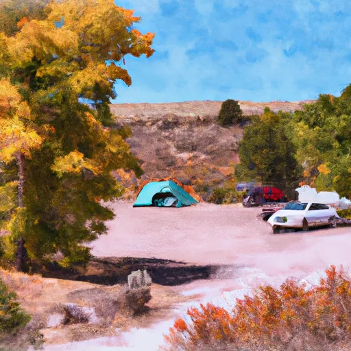
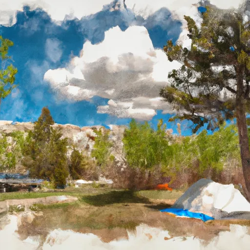
Area Campgrounds
 Connor Battlefield State Park
 Tongue River Camp - Amsden Creek WMA
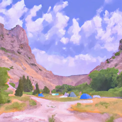 Tongue Canyon Campground
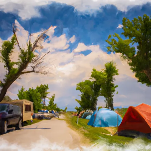 Sheridan KOA
 Washington Park - Sheridan
 Sibley Lake Campground
Nearby Reservoirs
River Runs
-
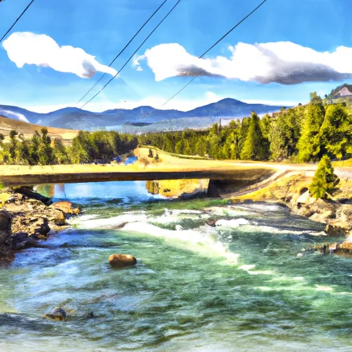
 Bridge At Tongue River Canyon To Burgess Picnic Grounds
-
 Sf Tongue- Johnson Creek To Confluence With Nf Tongue
-
 Nf Tongue From Burgess Picnic Ground To Pole Creek
-
 Dry Fork River From Its Confluence With Lake Creek To Confluence With Little Big Horn
-
 Wagon Box Creek To Dry Fork Trail
-
 Fools Gold Crossing (Fdr 480) To Wagon Box Creek
 Tongue River Fishing Site
 Tongue River Fishing East
 Tongue River Fishing West
 Lake DeSmet
 Upper Paintrock Fishing Site