


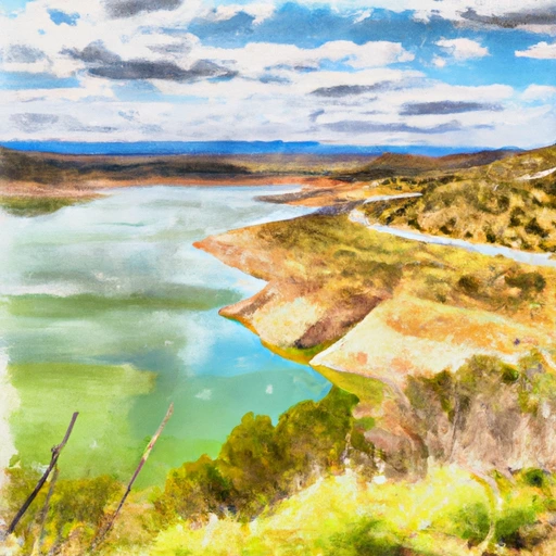
Lake Roberts Dam Reservoir Report
Last Updated: May 3, 2026
°F
°F
mph
Wind
%
Humidity
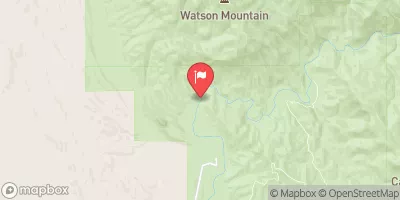
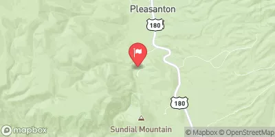
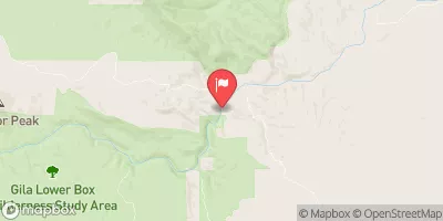
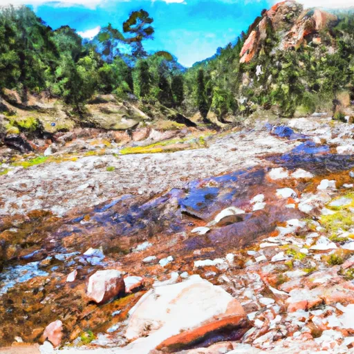
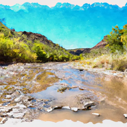
Lake Roberts Dam, located in Grant, New Mexico, is a state-owned structure with a primary purpose of recreation.
Summary
Built in 1963 by Chambers & Campbell and later updated by AECOM in 2014, this earth dam stands at a height of 64 feet and spans 401 feet in length. The dam offers a storage capacity of 2982 acre-feet and covers a surface area of 61.2 acres, providing a scenic destination for water resource and climate enthusiasts.
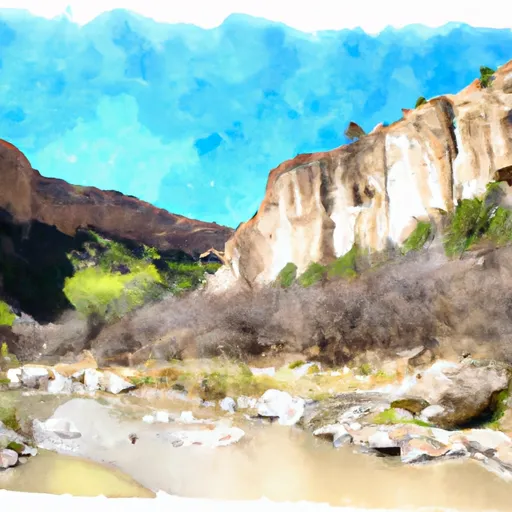
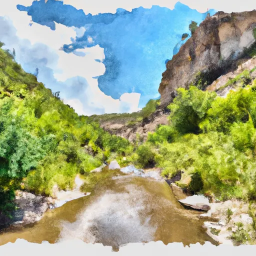
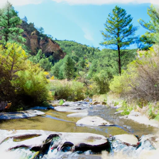
Situated on Sapillo Creek, Lake Roberts Dam is regulated by the Office of the State Engineer, with state permitting, inspection, and enforcement in place. Despite being classified as having a high hazard potential, the dam's condition assessment remains fair as of April 2020. With a moderate risk level, the dam has not experienced significant modifications in recent years and is equipped with an uncontrolled spillway system. The dam's emergency action plan status and risk management measures are currently undetermined, highlighting the need for ongoing monitoring and preparedness measures to ensure the safety and sustainability of this vital water resource infrastructure.
Regional Streamflow Levels
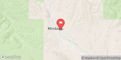 Mimbres River At Mimbres
|
4cfs |
 Gila River Near Gila
|
26cfs |
 Mogollon Creek Near Cliff
|
5cfs |
 Gila River Near Redrock
|
37cfs |
 San Francisco River Near Glenwood
|
22cfs |
 Gila River Below Blue Creek
|
27cfs |
15-Day Long Term Forecast
Year Completed |
1963 |
Dam Length |
401 |
Dam Height |
64 |
River Or Stream |
SAPILLO CREEK |
Primary Dam Type |
Earth |
Surface Area |
61.2 |
Drainage Area |
89 |
Nid Storage |
2982 |
Outlet Gates |
Slide (sluice gate) - 0 |
Hazard Potential |
High |
Foundations |
Rock, Soil |
Nid Height |
64 |
Seasonal Comparison
5-Day Hourly Forecast Detail
Dam Data Reference
Condition Assessment
SatisfactoryNo existing or potential dam safety deficiencies are recognized. Acceptable performance is expected under all loading conditions (static, hydrologic, seismic) in accordance with the minimum applicable state or federal regulatory criteria or tolerable risk guidelines.
Fair
No existing dam safety deficiencies are recognized for normal operating conditions. Rare or extreme hydrologic and/or seismic events may result in a dam safety deficiency. Risk may be in the range to take further action. Note: Rare or extreme event is defined by the regulatory agency based on their minimum
Poor A dam safety deficiency is recognized for normal operating conditions which may realistically occur. Remedial action is necessary. POOR may also be used when uncertainties exist as to critical analysis parameters which identify a potential dam safety deficiency. Investigations and studies are necessary.
Unsatisfactory
A dam safety deficiency is recognized that requires immediate or emergency remedial action for problem resolution.
Not Rated
The dam has not been inspected, is not under state or federal jurisdiction, or has been inspected but, for whatever reason, has not been rated.
Not Available
Dams for which the condition assessment is restricted to approved government users.
Hazard Potential Classification
HighDams assigned the high hazard potential classification are those where failure or mis-operation will probably cause loss of human life.
Significant
Dams assigned the significant hazard potential classification are those dams where failure or mis-operation results in no probable loss of human life but can cause economic loss, environment damage, disruption of lifeline facilities, or impact other concerns. Significant hazard potential classification dams are often located in predominantly rural or agricultural areas but could be in areas with population and significant infrastructure.
Low
Dams assigned the low hazard potential classification are those where failure or mis-operation results in no probable loss of human life and low economic and/or environmental losses. Losses are principally limited to the owner's property.
Undetermined
Dams for which a downstream hazard potential has not been designated or is not provided.
Not Available
Dams for which the downstream hazard potential is restricted to approved government users.
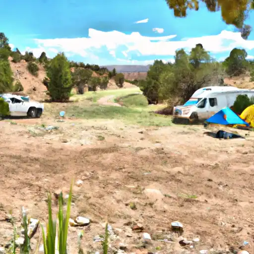
Area Campgrounds
| Location | Reservations | Toilets |
|---|---|---|
 Mesa
Mesa
|
||
 Mesa Campground
|
||
 Upper End
|
||
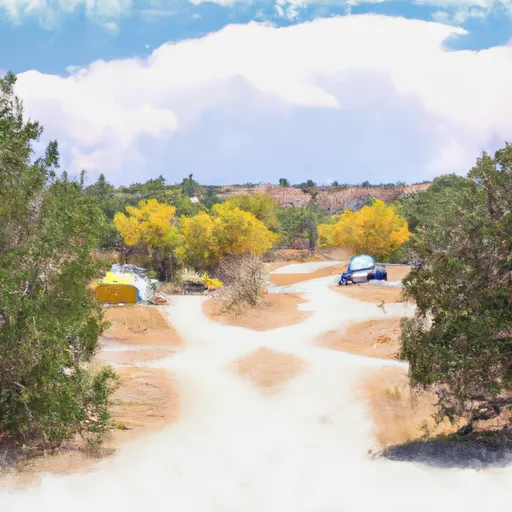 Upper End Campground
|
||
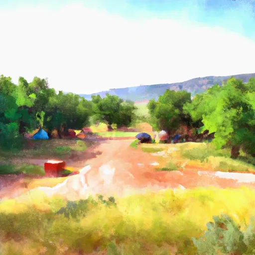 Sapillo Campground
|
||
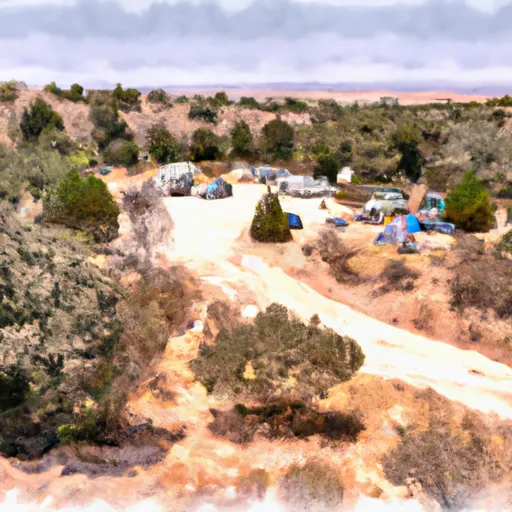 Sapillo Group Area Campground
|
 Caballo Reservoir
River Runs
-
 Wilderness Run
-
 Gila Wilderness Boundary (Below Snow Lake) To Gila Wilderness Boundary (Sec 24, T12S, R14W)
-
 Northern Boundary Nm To Eastern Boundary Gila Cliff Dwellings Nm
-
 Headwaters To Northern Boundary Gila Cliff Dwellings Nm
-
 Headwaters In Gila National Forest To Eastern Boundary Of Gila Cliff Dwellings National Monument
-
 Gila Wilderness Boundary To Confluence With East Fork Gila River