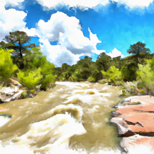
Heron dam

Heron
Heron is a federal-owned dam located in Rio Arriba, New Mexico, with the primary purpose of irrigation. Built in 1970, this rockfill dam stands at a height of 269 feet and has a maximum storage capacity of 429,646 acre-feet. Its normal storage capacity is 401,317 acre-feet, serving as a vital water supply source for the surrounding area. Managed by the Bureau of Reclamation, Heron plays a crucial role in supporting agriculture and water resource management in the region.
Situated on Willow Creek, Heron dam has a high hazard potential and a moderate risk assessment rating. Despite its importance for irrigation and water supply, the dam's condition assessment is currently listed as not available, highlighting the need for regular inspections and maintenance to ensure its continued safety and functionality. With a spillway type of "Uncontrolled" and a spillway width of 40 feet, Heron is designed to manage high flows and protect downstream areas in case of emergencies. As climate change continues to impact water resources, the significance of structures like Heron in sustainable water management practices becomes increasingly evident.
For water resource and climate enthusiasts, Heron represents a critical infrastructure that supports agricultural activities and water supply in New Mexico. With its impressive storage capacity and strategic location on Willow Creek, this federal-owned dam plays a key role in managing water resources in the region. As the Bureau of Reclamation oversees its operations, inspections, and regulatory requirements, Heron stands as a testament to the importance of resilient water infrastructure in the face of changing environmental conditions.
Plan around the weather
Same NOAA / yr.no feed Snoflo's iOS app uses. Watch the precipitation column on the meteogram -- rain on the basin upstream typically lifts inflow 24-72 hours later.
Next 5 days, hour by hour
Temperature line with weather symbols on top, snow + rain accumulation as columns, humidity as a dotted line.
5-day forecast table
Every 3 hours, broken out across temperature, snow, rain, humidity, and wind. Each cell is colour-coded relative to the column min/max.
| Time | Condition | Temp (°F) | Snow (in) | Rain (in) | Humidity (%) | Wind (mps) | Wind dir |
|---|---|---|---|---|---|---|---|
| Loading detailed forecast… | |||||||
15-day temperature & precipitation
Daily temperatures, snow, and rain projected over the next two weeks.
Nearby streamflow gauges
USGS streamgauges around Heron -- inflows here typically show up in storage 24-72 hours later.
| Streamgauge | Discharge | View |
|---|---|---|
| Rio Chama Near La Puente | 19 cfs | → |
| Rio Chama Below El Vado Dam | 105 cfs | → |
| Rio Chama Above Abiquiu Reservoir | 105 cfs | → |
| Navajo River Bl Oso Diversion Dam Nr Chromo | 25 cfs | → |
| Navajo R At Banded Peak Ranch | 24 cfs | → |
| Rio Chama Below Abiquiu Dam | 220 cfs | → |


About Heron
Where does the data for Heron come from?
Structural and regulatory data come from the U.S. Army Corps of Engineers' National Inventory of Dams (NID). Weather forecast comes from NOAA / yr.no -- the same feed Snoflo's iOS app uses.
How often is the report updated?
NID structural data refreshes annually as the Corps publishes updated assessments. The weather forecast refreshes throughout the day.
What does the High hazard rating mean?
The Corps of Engineers' hazard potential classification grades probable consequences if the dam fails: High = probable loss of human life; Significant = no probable loss of human life but possible economic loss / environmental damage; Low = no probable loss of human life, only minor economic / environmental losses. See the Dam Data Reference card below for the full definitions.
What's "% of normal"?
The current storage value compared to the historical average storage on this calendar day. 100% = right on average; values above 100% mean above-normal storage (wet year); values below mean below-normal (dry year or drought).
Can I get alerts when storage crosses a threshold?
Yes -- alerts are managed in the Snoflo iOS app. Favorite this dam, set a threshold, and you'll get a push the moment conditions cross.
Dam data reference
Condition Assessment
- Satisfactory
- No existing or potential dam safety deficiencies are recognized. Acceptable performance is expected under all loading conditions (static, hydrologic, seismic) in accordance with the minimum applicable state or federal regulatory criteria or tolerable risk guidelines.
- Fair
- No existing dam safety deficiencies are recognized for normal operating conditions. Rare or extreme hydrologic and/or seismic events may result in a dam safety deficiency. Risk may be in the range to take further action.
- Poor
- A dam safety deficiency is recognized for normal operating conditions which may realistically occur. Remedial action is necessary. POOR may also be used when uncertainties exist as to critical analysis parameters which identify a potential dam safety deficiency.
- Unsatisfactory
- A dam safety deficiency is recognized that requires immediate or emergency remedial action for problem resolution.
- Not Rated
- The dam has not been inspected, is not under state or federal jurisdiction, or has been inspected but, for whatever reason, has not been rated.
Hazard Potential Classification
- High
- Dams assigned the high hazard potential classification are those where failure or mis-operation will probably cause loss of human life.
- Significant
- Dams assigned the significant hazard potential classification are those dams where failure or mis-operation results in no probable loss of human life but can cause economic loss, environmental damage, disruption of lifeline facilities, or impact other concerns. Significant hazard potential classification dams are often located in predominantly rural or agricultural areas but could be in areas with population and significant infrastructure.
- Low
- Dams assigned the low hazard potential classification are those where failure or mis-operation results in no probable loss of human life and low economic and/or environmental losses. Losses are principally limited to the owner's property.
- Undetermined
- Dams for which a downstream hazard potential has not been designated or is not provided.