El Vado dam

El Vado
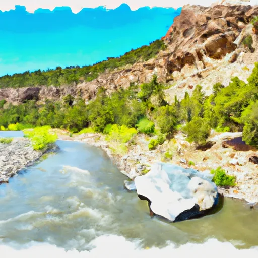
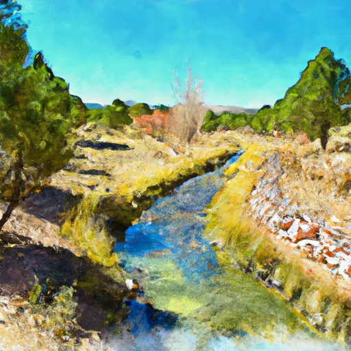
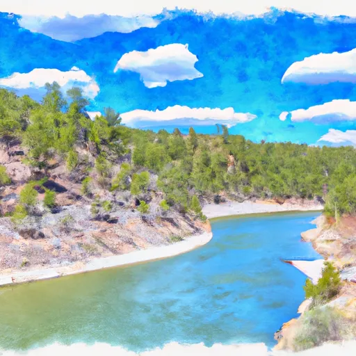
El Vado is a federal-owned dam located in Rio Arriba, New Mexico, along the Rio Chama River. Built in 1934 by the Bureau of Reclamation, it serves primarily for irrigation purposes, with additional functions for recreation and water supply. The dam stands at a height of 230 feet, with a hydraulic height of 167 feet, and a length of 1326 feet, creating a reservoir with a normal storage capacity of 196,250 acre-feet and a maximum capacity of 209,330 acre-feet. The dam has a controlled spillway and a high hazard potential, with a very high risk assessment rating.
The El Vado dam is a significant structure in the region, providing vital water resources for agricultural purposes and recreational activities. Its location in the picturesque surroundings of Rio Arriba County makes it a popular spot for water enthusiasts and nature lovers. The dam's operations and regulatory oversight are managed by the Bureau of Reclamation, ensuring its safe and efficient functioning. Despite its age, El Vado continues to play a crucial role in water management and conservation efforts in the area, highlighting the importance of sustainable water resource management in the face of climate change challenges.
As climate change impacts water resources worldwide, the role of dams like El Vado becomes even more critical in ensuring water security for communities and ecosystems. The risk assessment for El Vado indicates a high potential for hazards, underscoring the need for effective risk management measures and emergency preparedness. With its rich history and continued relevance in water management, El Vado stands as a symbol of resilience and adaptation in the face of evolving climatic conditions, serving as a reminder of the intricate relationship between water resources, climate, and human activities.
Plan around the weather
Same NOAA / yr.no feed Snoflo's iOS app uses. Watch the precipitation column on the meteogram -- rain on the basin upstream typically lifts inflow 24-72 hours later.
Next 5 days, hour by hour
Temperature line with weather symbols on top, snow + rain accumulation as columns, humidity as a dotted line.
5-day forecast table
Every 3 hours, broken out across temperature, snow, rain, humidity, and wind. Each cell is colour-coded relative to the column min/max.
| Time | Condition | Temp (°F) | Snow (in) | Rain (in) | Humidity (%) | Wind (mps) | Wind dir |
|---|---|---|---|---|---|---|---|
| Loading detailed forecast… | |||||||
15-day temperature & precipitation
Daily temperatures, snow, and rain projected over the next two weeks.
Nearby streamflow gauges
USGS streamgauges around El Vado -- inflows here typically show up in storage 24-72 hours later.
| Streamgauge | Discharge | View |
|---|---|---|
| Rio Chama Below El Vado Dam | 105 cfs | → |
| Rio Chama Near La Puente | 17 cfs | → |
| Rio Chama Above Abiquiu Reservoir | 105 cfs | → |
| Navajo River Bl Oso Diversion Dam Nr Chromo | 24 cfs | → |
| Rio Chama Below Abiquiu Dam | 220 cfs | → |
| Navajo R At Banded Peak Ranch | 24 cfs | → |


About El Vado
Where does the data for El Vado come from?
Structural and regulatory data come from the U.S. Army Corps of Engineers' National Inventory of Dams (NID). Weather forecast comes from NOAA / yr.no -- the same feed Snoflo's iOS app uses.
How often is the report updated?
NID structural data refreshes annually as the Corps publishes updated assessments. The weather forecast refreshes throughout the day.
What does the High hazard rating mean?
The Corps of Engineers' hazard potential classification grades probable consequences if the dam fails: High = probable loss of human life; Significant = no probable loss of human life but possible economic loss / environmental damage; Low = no probable loss of human life, only minor economic / environmental losses. See the Dam Data Reference card below for the full definitions.
What's "% of normal"?
The current storage value compared to the historical average storage on this calendar day. 100% = right on average; values above 100% mean above-normal storage (wet year); values below mean below-normal (dry year or drought).
Can I get alerts when storage crosses a threshold?
Yes -- alerts are managed in the Snoflo iOS app. Favorite this dam, set a threshold, and you'll get a push the moment conditions cross.
Dam data reference
Condition Assessment
- Satisfactory
- No existing or potential dam safety deficiencies are recognized. Acceptable performance is expected under all loading conditions (static, hydrologic, seismic) in accordance with the minimum applicable state or federal regulatory criteria or tolerable risk guidelines.
- Fair
- No existing dam safety deficiencies are recognized for normal operating conditions. Rare or extreme hydrologic and/or seismic events may result in a dam safety deficiency. Risk may be in the range to take further action.
- Poor
- A dam safety deficiency is recognized for normal operating conditions which may realistically occur. Remedial action is necessary. POOR may also be used when uncertainties exist as to critical analysis parameters which identify a potential dam safety deficiency.
- Unsatisfactory
- A dam safety deficiency is recognized that requires immediate or emergency remedial action for problem resolution.
- Not Rated
- The dam has not been inspected, is not under state or federal jurisdiction, or has been inspected but, for whatever reason, has not been rated.
Hazard Potential Classification
- High
- Dams assigned the high hazard potential classification are those where failure or mis-operation will probably cause loss of human life.
- Significant
- Dams assigned the significant hazard potential classification are those dams where failure or mis-operation results in no probable loss of human life but can cause economic loss, environmental damage, disruption of lifeline facilities, or impact other concerns. Significant hazard potential classification dams are often located in predominantly rural or agricultural areas but could be in areas with population and significant infrastructure.
- Low
- Dams assigned the low hazard potential classification are those where failure or mis-operation results in no probable loss of human life and low economic and/or environmental losses. Losses are principally limited to the owner's property.
- Undetermined
- Dams for which a downstream hazard potential has not been designated or is not provided.