Carters Pond Dam dam

Carters Pond Dam
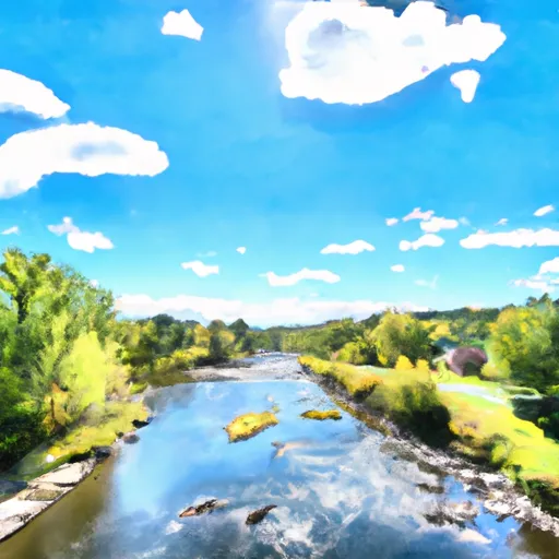
Carters Pond Dam, located in Battenville, New York, is a state-owned structure built in 1991 for the primary purpose of creating a Fish and Wildlife Pond. Situated on WHITTAKER BROOK, the earth dam stands at 8 feet tall and spans 138 feet in length, with a storage capacity of 1395 acre-feet. The dam is regulated by the NYS DEC and undergoes regular inspections, with a low hazard potential rating.
Despite its low hazard potential, the dam poses a very high risk due to its location and the surrounding environment. The controlled spillway, which is 27 feet wide, helps manage water flow during periods of high discharge. The dam's surface area is 245 acres, serving as a vital habitat for local wildlife and enhancing the ecological diversity of the area. Overall, Carters Pond Dam plays a crucial role in maintaining the environmental balance and providing recreational opportunities for the community.
With its strategic location and functionality, Carters Pond Dam serves as a key component in water resource management and climate resilience efforts in Washington County, New York. The dam's construction and maintenance align with state regulations, ensuring its continued operation for the benefit of both wildlife and the local community. As climate change impacts water resources, structures like Carters Pond Dam become increasingly important for sustainable water management practices and ecological preservation in the region.
Plan around the weather
Same NOAA / yr.no feed Snoflo's iOS app uses. Watch the precipitation column on the meteogram -- rain on the basin upstream typically lifts inflow 24-72 hours later.
Next 5 days, hour by hour
Temperature line with weather symbols on top, snow + rain accumulation as columns, humidity as a dotted line.
5-day forecast table
Every 3 hours, broken out across temperature, snow, rain, humidity, and wind. Each cell is colour-coded relative to the column min/max.
| Time | Condition | Temp (°F) | Snow (in) | Rain (in) | Humidity (%) | Wind (mps) | Wind dir |
|---|---|---|---|---|---|---|---|
| Loading detailed forecast… | |||||||
15-day temperature & precipitation
Daily temperatures, snow, and rain projected over the next two weeks.
Nearby streamflow gauges
USGS streamgauges around Carters Pond Dam -- inflows here typically show up in storage 24-72 hours later.
| Streamgauge | Discharge | View |
|---|---|---|
| Batten Kill Below Mill At Battenville Ny | 237 cfs | → |
| Hudson River At Fort Edward Ny | 2,170 cfs | → |
| Hoosic River Near Eagle Bridge Ny | 295 cfs | → |
| Mettawee River Near Pawlet | 215 cfs | → |
| Walloomsac River Near North Bennington | 49 cfs | → |
| Mettawee River Near Middle Granville Ny | 97 cfs | → |


About Carters Pond Dam
Where does the data for Carters Pond Dam come from?
Structural and regulatory data come from the U.S. Army Corps of Engineers' National Inventory of Dams (NID). Weather forecast comes from NOAA / yr.no -- the same feed Snoflo's iOS app uses.
How often is the report updated?
NID structural data refreshes annually as the Corps publishes updated assessments. The weather forecast refreshes throughout the day.
What does the Low hazard rating mean?
The Corps of Engineers' hazard potential classification grades probable consequences if the dam fails: High = probable loss of human life; Significant = no probable loss of human life but possible economic loss / environmental damage; Low = no probable loss of human life, only minor economic / environmental losses. See the Dam Data Reference card below for the full definitions.
What's "% of normal"?
The current storage value compared to the historical average storage on this calendar day. 100% = right on average; values above 100% mean above-normal storage (wet year); values below mean below-normal (dry year or drought).
Can I get alerts when storage crosses a threshold?
Yes -- alerts are managed in the Snoflo iOS app. Favorite this dam, set a threshold, and you'll get a push the moment conditions cross.
Dam data reference
Condition Assessment
- Satisfactory
- No existing or potential dam safety deficiencies are recognized. Acceptable performance is expected under all loading conditions (static, hydrologic, seismic) in accordance with the minimum applicable state or federal regulatory criteria or tolerable risk guidelines.
- Fair
- No existing dam safety deficiencies are recognized for normal operating conditions. Rare or extreme hydrologic and/or seismic events may result in a dam safety deficiency. Risk may be in the range to take further action.
- Poor
- A dam safety deficiency is recognized for normal operating conditions which may realistically occur. Remedial action is necessary. POOR may also be used when uncertainties exist as to critical analysis parameters which identify a potential dam safety deficiency.
- Unsatisfactory
- A dam safety deficiency is recognized that requires immediate or emergency remedial action for problem resolution.
- Not Rated
- The dam has not been inspected, is not under state or federal jurisdiction, or has been inspected but, for whatever reason, has not been rated.
Hazard Potential Classification
- High
- Dams assigned the high hazard potential classification are those where failure or mis-operation will probably cause loss of human life.
- Significant
- Dams assigned the significant hazard potential classification are those dams where failure or mis-operation results in no probable loss of human life but can cause economic loss, environmental damage, disruption of lifeline facilities, or impact other concerns. Significant hazard potential classification dams are often located in predominantly rural or agricultural areas but could be in areas with population and significant infrastructure.
- Low
- Dams assigned the low hazard potential classification are those where failure or mis-operation results in no probable loss of human life and low economic and/or environmental losses. Losses are principally limited to the owner's property.
- Undetermined
- Dams for which a downstream hazard potential has not been designated or is not provided.