Koa Campground Dam dam

Koa Campground Dam
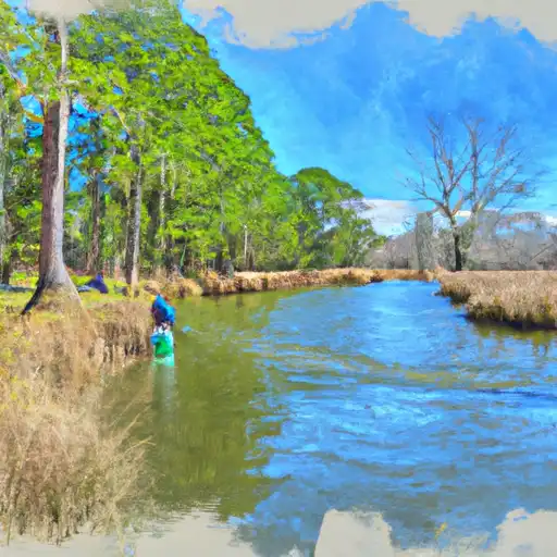
Located in Wilbar, North Carolina, the Koa Campground Dam stands as a private-owned structure on the South Fork Reddies River-Tr. Built in 1973 for recreational purposes, this earth-type dam boasts a hydraulic height of 43 feet and a structural height of 58 feet, with a length of 345 feet. With a storage capacity of 324 acre-feet, the dam serves as a vital resource for the local community, providing both recreational opportunities and ensuring water security for the area.
Despite its satisfactory condition assessment, the Koa Campground Dam is deemed to have a high hazard potential, prompting biennial inspections to ensure its safety and functionality. The dam's ownership and regulatory oversight fall under the jurisdiction of the North Carolina Department of Environmental Quality (NCDEQ) Dam Safety Program, highlighting the importance of stringent monitoring and enforcement measures in place to mitigate potential risks. With a drainage area of 1000 acres and a normal storage capacity of 190 acre-feet, the dam plays a crucial role in managing water resources in the region.
With its strategic location and significant storage capacity, the Koa Campground Dam serves as a vital asset for both recreational activities and water resource management in Wilbar, North Carolina. As climate change continues to impact water availability and quality, the dam's role in ensuring water security for the community becomes increasingly crucial. By adhering to strict regulatory guidelines and conducting regular inspections, the dam remains a reliable source of both recreation and water supply, highlighting the interconnectedness of infrastructure, climate resilience, and community well-being.
Plan around the weather
Same NOAA / yr.no feed Snoflo's iOS app uses. Watch the precipitation column on the meteogram -- rain on the basin upstream typically lifts inflow 24-72 hours later.
Next 5 days, hour by hour
Temperature line with weather symbols on top, snow + rain accumulation as columns, humidity as a dotted line.
5-day forecast table
Every 3 hours, broken out across temperature, snow, rain, humidity, and wind. Each cell is colour-coded relative to the column min/max.
| Time | Condition | Temp (°F) | Snow (in) | Rain (in) | Humidity (%) | Wind (mps) | Wind dir |
|---|---|---|---|---|---|---|---|
| Loading detailed forecast… | |||||||
15-day temperature & precipitation
Daily temperatures, snow, and rain projected over the next two weeks.
Nearby streamflow gauges
USGS streamgauges around Koa Campground Dam -- inflows here typically show up in storage 24-72 hours later.
| Streamgauge | Discharge | View |
|---|---|---|
| South Fork New River Near Jefferson | 238 cfs | → |
| Reddies River At North Wilkesboro | 77 cfs | → |
| Yadkin River At Wilkesboro | 280 cfs | → |
| Elk Creek At Elkville | 28 cfs | → |
| Yadkin River At Patterson | 17 cfs | → |
| Lower Little River Nr All Healing Springs | 11 cfs | → |
Make a day of it
Boat launches, lakeside camping, fishing access, and other reservoirs near Koa Campground Dam.
Boat launches
See all →


Campgrounds
See all →


Fishing spots
See all →


River runs
See all →


More reservoirs
See all →
About Koa Campground Dam
Where does the data for Koa Campground Dam come from?
Structural and regulatory data come from the U.S. Army Corps of Engineers' National Inventory of Dams (NID). Weather forecast comes from NOAA / yr.no -- the same feed Snoflo's iOS app uses.
How often is the report updated?
NID structural data refreshes annually as the Corps publishes updated assessments. The weather forecast refreshes throughout the day.
What does the High hazard rating mean?
The Corps of Engineers' hazard potential classification grades probable consequences if the dam fails: High = probable loss of human life; Significant = no probable loss of human life but possible economic loss / environmental damage; Low = no probable loss of human life, only minor economic / environmental losses. See the Dam Data Reference card below for the full definitions.
What's "% of normal"?
The current storage value compared to the historical average storage on this calendar day. 100% = right on average; values above 100% mean above-normal storage (wet year); values below mean below-normal (dry year or drought).
Can I get alerts when storage crosses a threshold?
Yes -- alerts are managed in the Snoflo iOS app. Favorite this dam, set a threshold, and you'll get a push the moment conditions cross.
Dam data reference
Condition Assessment
- Satisfactory
- No existing or potential dam safety deficiencies are recognized. Acceptable performance is expected under all loading conditions (static, hydrologic, seismic) in accordance with the minimum applicable state or federal regulatory criteria or tolerable risk guidelines.
- Fair
- No existing dam safety deficiencies are recognized for normal operating conditions. Rare or extreme hydrologic and/or seismic events may result in a dam safety deficiency. Risk may be in the range to take further action.
- Poor
- A dam safety deficiency is recognized for normal operating conditions which may realistically occur. Remedial action is necessary. POOR may also be used when uncertainties exist as to critical analysis parameters which identify a potential dam safety deficiency.
- Unsatisfactory
- A dam safety deficiency is recognized that requires immediate or emergency remedial action for problem resolution.
- Not Rated
- The dam has not been inspected, is not under state or federal jurisdiction, or has been inspected but, for whatever reason, has not been rated.
Hazard Potential Classification
- High
- Dams assigned the high hazard potential classification are those where failure or mis-operation will probably cause loss of human life.
- Significant
- Dams assigned the significant hazard potential classification are those dams where failure or mis-operation results in no probable loss of human life but can cause economic loss, environmental damage, disruption of lifeline facilities, or impact other concerns. Significant hazard potential classification dams are often located in predominantly rural or agricultural areas but could be in areas with population and significant infrastructure.
- Low
- Dams assigned the low hazard potential classification are those where failure or mis-operation results in no probable loss of human life and low economic and/or environmental losses. Losses are principally limited to the owner's property.
- Undetermined
- Dams for which a downstream hazard potential has not been designated or is not provided.