


Lake Fayetteville Reservoir Report
Last Updated: May 4, 2026
Nearby: Broccardo Lake Dam Lake Lucille Dam
°F
°F
mph
Wind
%
Humidity
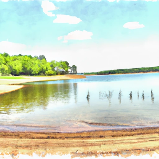
Lake Fayetteville, located in Johnson, Arkansas, is a picturesque reservoir with a primary purpose of recreation.
Summary
Built in 1949, this earth dam structure stands at a height of 49 feet and has a maximum storage capacity of 6,566 acre-feet, providing ample opportunities for water-based activities. The reservoir covers a surface area of 230 acres and is fed by Clear Creek, with a drainage area of 9.1 square miles.
Despite its recreational appeal, Lake Fayetteville is classified as having a high hazard potential, although its condition assessment is currently marked as "Not Rated." The dam has a spillway type that is unspecified and a maximum discharge capacity of 20,627 cubic feet per second. While it is regulated and inspected by the Arkansas Natural Resources Commission, specific risk assessment and emergency preparedness measures appear to be lacking, with no designated emergency action plan in place.
Enthusiasts of water resources and climate may find Lake Fayetteville an intriguing case study in balancing the need for recreational amenities with the potential risks associated with dam infrastructure. As a popular destination for outdoor activities in the Washington County area, the reservoir serves as a reminder of the importance of maintaining and monitoring water resources for both enjoyment and safety.
Regional Streamflow Levels
 White River Near Fayetteville
|
885cfs |
 West Fork White River East Of Fayetteville
|
195cfs |
 Richland Creek At Goshen
|
-999999cfs |
 Osage Creek Near Elm Springs
|
198cfs |
 Osage Creek Near Cave Springs
|
37cfs |
 Illinois River At Savoy
|
189cfs |
15-Day Long Term Forecast
Year Completed |
1949 |
Dam Length |
1733 |
Dam Height |
49 |
River Or Stream |
CLEAR CREEK |
Primary Dam Type |
Earth |
Surface Area |
230 |
Hydraulic Height |
49 |
Drainage Area |
9.1 |
Nid Storage |
6566 |
Structural Height |
49 |
Hazard Potential |
High |
Nid Height |
49 |
Seasonal Comparison
5-Day Hourly Forecast Detail
Dam Data Reference
Condition Assessment
SatisfactoryNo existing or potential dam safety deficiencies are recognized. Acceptable performance is expected under all loading conditions (static, hydrologic, seismic) in accordance with the minimum applicable state or federal regulatory criteria or tolerable risk guidelines.
Fair
No existing dam safety deficiencies are recognized for normal operating conditions. Rare or extreme hydrologic and/or seismic events may result in a dam safety deficiency. Risk may be in the range to take further action. Note: Rare or extreme event is defined by the regulatory agency based on their minimum
Poor A dam safety deficiency is recognized for normal operating conditions which may realistically occur. Remedial action is necessary. POOR may also be used when uncertainties exist as to critical analysis parameters which identify a potential dam safety deficiency. Investigations and studies are necessary.
Unsatisfactory
A dam safety deficiency is recognized that requires immediate or emergency remedial action for problem resolution.
Not Rated
The dam has not been inspected, is not under state or federal jurisdiction, or has been inspected but, for whatever reason, has not been rated.
Not Available
Dams for which the condition assessment is restricted to approved government users.
Hazard Potential Classification
HighDams assigned the high hazard potential classification are those where failure or mis-operation will probably cause loss of human life.
Significant
Dams assigned the significant hazard potential classification are those dams where failure or mis-operation results in no probable loss of human life but can cause economic loss, environment damage, disruption of lifeline facilities, or impact other concerns. Significant hazard potential classification dams are often located in predominantly rural or agricultural areas but could be in areas with population and significant infrastructure.
Low
Dams assigned the low hazard potential classification are those where failure or mis-operation results in no probable loss of human life and low economic and/or environmental losses. Losses are principally limited to the owner's property.
Undetermined
Dams for which a downstream hazard potential has not been designated or is not provided.
Not Available
Dams for which the downstream hazard potential is restricted to approved government users.
 Lake Wedington Rec. Area
 Lake Wedington Recreation Area
 Prairie Creek - Beaver Lake
 Rocky Branch - Beaver Lake
 Lost Bridge South - Beaver Lake
 Withrow Springs State Park
 Lee Creek At Lee Creek Reservoir Near Van Buren
 Lake Eucha Near Eucha
 Spavinaw Lake At Spavinaw
 Lake O' The Cherokees At Langley
 Lake Dam Cove Elm Springs
 Lake Frances Spillway
To Pine Bluff
Lake Frances Spillway
To Pine Bluff
 The State Line To The Mouth Of The River
 The State Line To The Mouth Of The River
Outh Of The River
The State Line To The Mouth Of The River
Outh Of The River
 Pine Bluff
To Tahlequah Water Supply Plant
Pine Bluff
To Tahlequah Water Supply Plant
 Tahlequah Water Supply Plant To Horseshoe Bend
 Murphy Park Pond
 Sequoyah
 Hindsville Lake
 Lake Atalanta
 Lake Bentonville