


Summary
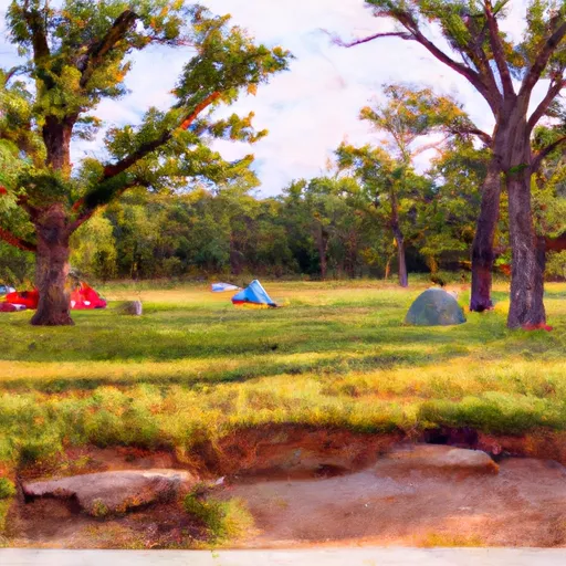
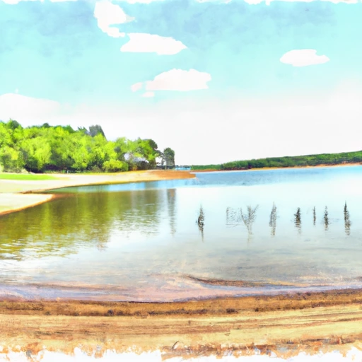
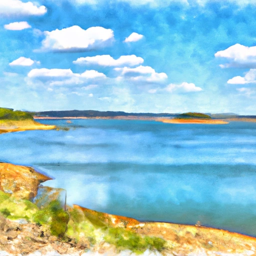
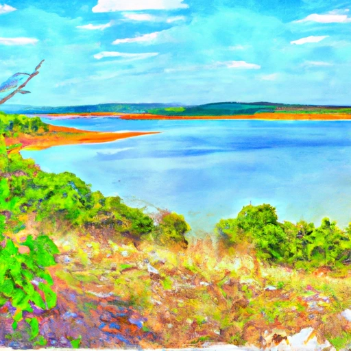
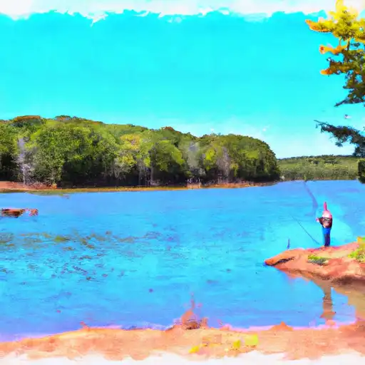
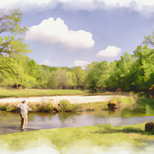
The lake serves as a major source of drinking water for several cities in northeastern Oklahoma. The hydrology of the lake is primarily dependent on surface water flow from the Spavinaw Creek watershed, which covers an area of over 600 square miles. The lake is also replenished by snowmelt and runoff from the surrounding hills during the winter months. The lake is not used for agricultural purposes, but it does offer recreational activities such as fishing, boating, and camping for visitors. The lake is an important ecological resource, providing habitat for various species of fish, birds, and other wildlife.
Regional Streamflow Levels
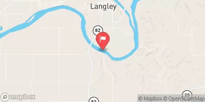 Neosho River Near Langley
|
14700cfs |
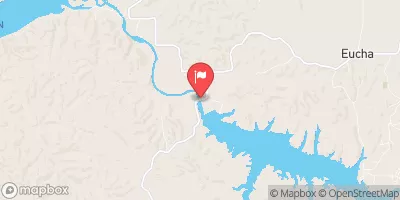 Spavinaw Creek Near Eucha
|
550cfs |
 Neosho River Near Chouteau
|
165cfs |
 Big Cabin Creek Near Big Cabin
|
148cfs |
 Beaty Creek Near Jay
|
67cfs |
 Spavinaw Creek Near Colcord
|
226cfs |
15-Day Long Term Forecast
Reservoir Details
| Gage Height, Ft 24hr Change | -0.01% |
| Percent of Normal | 100% |
| Minimum |
679.19 ft
2016-11-05 |
| Maximum |
687.06 ft
2017-04-30 |
| Average | 681 ft |
Seasonal Comparison
Precipitation, Total, In Levels
Reservoir Storage, Acre-Ft Levels
Gage Height, Ft Levels
5-Day Hourly Forecast Detail
Dam Data Reference
Condition Assessment
SatisfactoryNo existing or potential dam safety deficiencies are recognized. Acceptable performance is expected under all loading conditions (static, hydrologic, seismic) in accordance with the minimum applicable state or federal regulatory criteria or tolerable risk guidelines.
Fair
No existing dam safety deficiencies are recognized for normal operating conditions. Rare or extreme hydrologic and/or seismic events may result in a dam safety deficiency. Risk may be in the range to take further action. Note: Rare or extreme event is defined by the regulatory agency based on their minimum
Poor A dam safety deficiency is recognized for normal operating conditions which may realistically occur. Remedial action is necessary. POOR may also be used when uncertainties exist as to critical analysis parameters which identify a potential dam safety deficiency. Investigations and studies are necessary.
Unsatisfactory
A dam safety deficiency is recognized that requires immediate or emergency remedial action for problem resolution.
Not Rated
The dam has not been inspected, is not under state or federal jurisdiction, or has been inspected but, for whatever reason, has not been rated.
Not Available
Dams for which the condition assessment is restricted to approved government users.
Hazard Potential Classification
HighDams assigned the high hazard potential classification are those where failure or mis-operation will probably cause loss of human life.
Significant
Dams assigned the significant hazard potential classification are those dams where failure or mis-operation results in no probable loss of human life but can cause economic loss, environment damage, disruption of lifeline facilities, or impact other concerns. Significant hazard potential classification dams are often located in predominantly rural or agricultural areas but could be in areas with population and significant infrastructure.
Low
Dams assigned the low hazard potential classification are those where failure or mis-operation results in no probable loss of human life and low economic and/or environmental losses. Losses are principally limited to the owner's property.
Undetermined
Dams for which a downstream hazard potential has not been designated or is not provided.
Not Available
Dams for which the downstream hazard potential is restricted to approved government users.
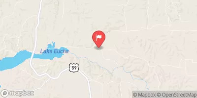
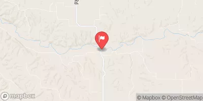
Area Campgrounds
| Location | Reservations | Toilets |
|---|---|---|
 Spavinaw State Park
|
||
 Cherokee State Park
|
||
 Snowdale State Park
|
||
 Chouteau Bend - Fort Gibson Lake
|
||
 Bernice State Park
|
||
 Honey Creek State Park
|
 Spavinaw Lake At Spavinaw
 Lake O' The Cherokees At Langley
 Lake Eucha Near Eucha
 Lake Hudson Near Locust Grove
 E0420 Road Mayes County
 Pine Bluff
To Tahlequah Water Supply Plant
Pine Bluff
To Tahlequah Water Supply Plant
 The State Line To The Mouth Of The River
 Lake Frances Spillway
To Pine Bluff
Lake Frances Spillway
To Pine Bluff
 Tahlequah Water Supply Plant To Horseshoe Bend
 The State Line To The Mouth Of The River
Outh Of The River
The State Line To The Mouth Of The River
Outh Of The River
 Lake Flint Creek
 SWEPCO
 Siloam Springs Lake
 South Prong Spavinaw Creek
 Lake Bentonville