Wasco Dam

Wasco
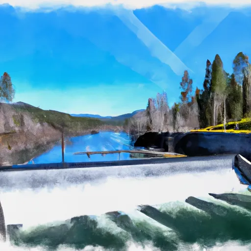
Wasco, also known as W-47, is a federal-owned irrigation dam located in Tygh Valley, Oregon, along the Clear Creek river. Built in 1958 by the Bureau of Reclamation, this earth dam stands at 45 feet high and serves as a crucial water resource for the region. With a maximum storage capacity of 16,360 acre-feet and a normal storage of 11,869 acre-feet, Wasco plays a vital role in supporting agricultural activities in the area.
The dam has a high hazard potential and underwent structural modifications in 2000 to ensure its safety and functionality. Although the condition assessment is not available, regular inspections by the Bureau of Reclamation help maintain the dam's integrity. The emergency action plan (EAP) for Wasco was last revised in 2020, demonstrating a commitment to preparedness and risk management. Despite its age, Wasco continues to be a key component of the local water infrastructure, providing essential irrigation water to the surrounding community.
Water resource and climate enthusiasts will be captivated by the engineering feat of Wasco and its role in sustaining agriculture in the region. The collaboration between federal agencies and the local community to ensure the safety and reliability of the dam is a testament to the importance of water infrastructure in mitigating the impacts of climate change. As climate variability continues to pose challenges to water availability, dams like Wasco play a crucial role in managing and distributing water resources effectively.
Plan around the weather
Same NOAA / yr.no feed Snoflo's iOS app uses. Watch the precipitation column on the meteogram -- rain on the basin upstream typically lifts inflow 24-72 hours later.
Next 5 days, hour by hour
Temperature line with weather symbols on top, snow + rain accumulation as columns, humidity as a dotted line.
5-day forecast table
Every 3 hours, broken out across temperature, snow, rain, humidity, and wind. Each cell is colour-coded relative to the column min/max.
| Time | Condition | Temp (°F) | Snow (in) | Rain (in) | Humidity (%) | Wind (mps) | Wind dir |
|---|---|---|---|---|---|---|---|
| Loading detailed forecast… | |||||||
15-day temperature & precipitation
Daily temperatures, snow, and rain projected over the next two weeks.
Nearby streamflow gauges
USGS streamgauges around Wasco -- inflows here typically show up in storage 24-72 hours later.
| Streamgauge | Discharge | View |
|---|---|---|
| Oak Grove Fork Near Government Camp | 53 cfs | → |
| Oak Grove Fork Above Powerplant Intake | 263 cfs | → |
| Oak Grove Fork At Ripplebrook Campground | 103 cfs | → |
| Clackamas River Above Three Lynx Creek | 635 cfs | → |
| Beaver Creek | 32 cfs | → |
| Blazed Alder Creek Near Rhododendron | 4 cfs | → |


About Wasco
Where does the data for Wasco come from?
Structural and regulatory data come from the U.S. Army Corps of Engineers' National Inventory of Dams (NID). Weather forecast comes from NOAA / yr.no -- the same feed Snoflo's iOS app uses.
How often is the report updated?
NID structural data refreshes annually as the Corps publishes updated assessments. The weather forecast refreshes throughout the day.
What does the High hazard rating mean?
The Corps of Engineers' hazard potential classification grades probable consequences if the dam fails: High = probable loss of human life; Significant = no probable loss of human life but possible economic loss / environmental damage; Low = no probable loss of human life, only minor economic / environmental losses. See the Dam Data Reference card below for the full definitions.
What's "% of normal"?
The current storage value compared to the historical average storage on this calendar day. 100% = right on average; values above 100% mean above-normal storage (wet year); values below mean below-normal (dry year or drought).
Can I get alerts when storage crosses a threshold?
Yes -- alerts are managed in the Snoflo iOS app. Favorite this dam, set a threshold, and you'll get a push the moment conditions cross.
Dam data reference
Condition Assessment
- Satisfactory
- No existing or potential dam safety deficiencies are recognized. Acceptable performance is expected under all loading conditions (static, hydrologic, seismic) in accordance with the minimum applicable state or federal regulatory criteria or tolerable risk guidelines.
- Fair
- No existing dam safety deficiencies are recognized for normal operating conditions. Rare or extreme hydrologic and/or seismic events may result in a dam safety deficiency. Risk may be in the range to take further action.
- Poor
- A dam safety deficiency is recognized for normal operating conditions which may realistically occur. Remedial action is necessary. POOR may also be used when uncertainties exist as to critical analysis parameters which identify a potential dam safety deficiency.
- Unsatisfactory
- A dam safety deficiency is recognized that requires immediate or emergency remedial action for problem resolution.
- Not Rated
- The dam has not been inspected, is not under state or federal jurisdiction, or has been inspected but, for whatever reason, has not been rated.
Hazard Potential Classification
- High
- Dams assigned the high hazard potential classification are those where failure or mis-operation will probably cause loss of human life.
- Significant
- Dams assigned the significant hazard potential classification are those dams where failure or mis-operation results in no probable loss of human life but can cause economic loss, environmental damage, disruption of lifeline facilities, or impact other concerns. Significant hazard potential classification dams are often located in predominantly rural or agricultural areas but could be in areas with population and significant infrastructure.
- Low
- Dams assigned the low hazard potential classification are those where failure or mis-operation results in no probable loss of human life and low economic and/or environmental losses. Losses are principally limited to the owner's property.
- Undetermined
- Dams for which a downstream hazard potential has not been designated or is not provided.