
Fruitgrowers Reservoir Report
Nearby: St. George Oasis
Last Updated: April 1, 2026
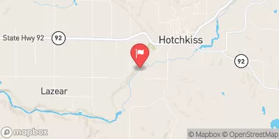
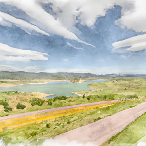
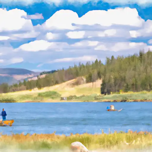
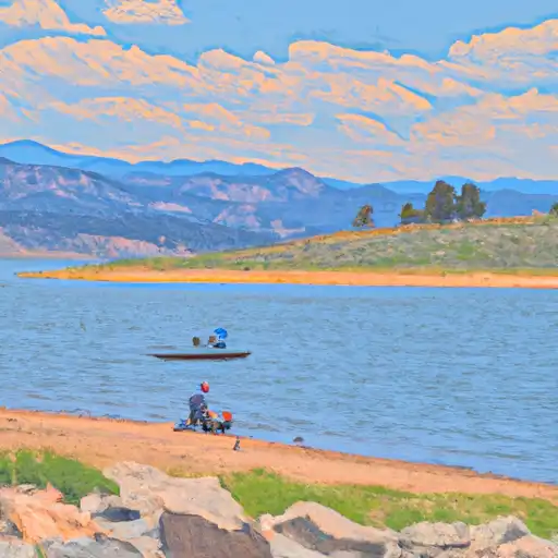
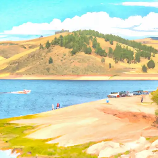
Fruitgrowers Dam, located in Delta, Colorado, is a crucial water infrastructure managed by the Bureau of Reclamation for irrigation purposes.
Summary
Completed in 1938, this earth dam stands at a height of 55 feet and spans 1520 feet in length, creating a reservoir with a storage capacity of 7548 acre-feet. The dam controls the flow of Alfalfa Run Creek and serves as a vital resource for the agricultural community in the region.
With a high hazard potential and moderate risk assessment, Fruitgrowers Dam is subject to regular inspections and maintenance by the Bureau of Reclamation to ensure its structural integrity and safety. The dam has undergone modifications in 1986 to address seismic and structural concerns, and is equipped with slide and uncontrolled outlet gates for water release. Despite its age, Fruitgrowers Dam continues to play a key role in water management and irrigation in the area, highlighting the importance of sustainable water resource practices in the face of changing climate conditions.
As water resource and climate enthusiasts, understanding the significance of infrastructure like Fruitgrowers Dam in managing water supply and supporting agriculture is crucial. The dam's location in a region prone to drought and water scarcity underscores the need for efficient water management strategies to ensure the resilience of agricultural ecosystems in the face of climate challenges. By staying informed about the condition and maintenance of vital water structures like Fruitgrowers Dam, we can contribute to the sustainable use of water resources for future generations.
°F
°F
mph
Wind
%
Humidity
15-Day Weather Outlook
Dam Height |
55 |
Hydraulic Height |
40 |
Drainage Area |
12 |
Years Modified |
1986 - Seismic, 1986 - Structural |
Year Completed |
1938 |
Structural Height |
55 |
Nid Storage |
7548 |
Foundations |
Rock, Soil |
Surface Area |
640 |
Outlet Gates |
Slide (sluice gate), Uncontrolled |
River Or Stream |
ALFALFA RUN CREEK |
Dam Length |
1520 |
Hazard Potential |
High |
Primary Dam Type |
Earth |
Nid Height |
55 |
Seasonal Comparison
5-Day Hourly Forecast Detail
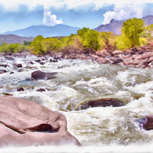
Nearby Streamflow Levels
 Surface Creek At Cedaredge
|
29cfs |
 North Fk Gunnison River Above Mouth Nr Lazear
|
325cfs |
 Gunnison River At Delta
|
761cfs |
 Uncompahgre River At Delta
|
499cfs |
 N.F. Gunnison R Blw Leroux Cr
|
321cfs |
 Surface Creek Near Cedaredge
|
22cfs |
Dam Data Reference
Condition Assessment
SatisfactoryNo existing or potential dam safety deficiencies are recognized. Acceptable performance is expected under all loading conditions (static, hydrologic, seismic) in accordance with the minimum applicable state or federal regulatory criteria or tolerable risk guidelines.
Fair
No existing dam safety deficiencies are recognized for normal operating conditions. Rare or extreme hydrologic and/or seismic events may result in a dam safety deficiency. Risk may be in the range to take further action. Note: Rare or extreme event is defined by the regulatory agency based on their minimum
Poor A dam safety deficiency is recognized for normal operating conditions which may realistically occur. Remedial action is necessary. POOR may also be used when uncertainties exist as to critical analysis parameters which identify a potential dam safety deficiency. Investigations and studies are necessary.
Unsatisfactory
A dam safety deficiency is recognized that requires immediate or emergency remedial action for problem resolution.
Not Rated
The dam has not been inspected, is not under state or federal jurisdiction, or has been inspected but, for whatever reason, has not been rated.
Not Available
Dams for which the condition assessment is restricted to approved government users.
Hazard Potential Classification
HighDams assigned the high hazard potential classification are those where failure or mis-operation will probably cause loss of human life.
Significant
Dams assigned the significant hazard potential classification are those dams where failure or mis-operation results in no probable loss of human life but can cause economic loss, environment damage, disruption of lifeline facilities, or impact other concerns. Significant hazard potential classification dams are often located in predominantly rural or agricultural areas but could be in areas with population and significant infrastructure.
Low
Dams assigned the low hazard potential classification are those where failure or mis-operation results in no probable loss of human life and low economic and/or environmental losses. Losses are principally limited to the owner's property.
Undetermined
Dams for which a downstream hazard potential has not been designated or is not provided.
Not Available
Dams for which the downstream hazard potential is restricted to approved government users.
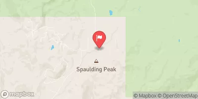
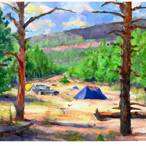
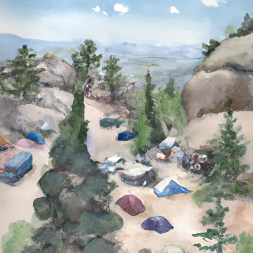
Area Campgrounds
| Location | Reservations | Toilets |
|---|---|---|
 Cottonwood Grove Campground
|
||
 Blacker
|
||
 Entrada Bench (across from Enhanted Camp)
|
||
 Enchanted Forest
|
||
 T Dyke
|
||
 Boulder Garden
|
 Fruitgrowers
 Fruit Growers Reservoir Near Orchard City
 Shea Road Delta County
 Orchard Boat Launch
 Gunnison Forks
 Gunnison River Segment 2
 Confluence Lake
 Sweitzer Lake
 Gunnison River
 Porter Reservoir #1
 Porter Reservoir #4 (Little Davies)