


Adventure Sports Center Pond Reservoir Report
Last Updated: May 7, 2026
°F
°F
mph
Wind
%
Humidity
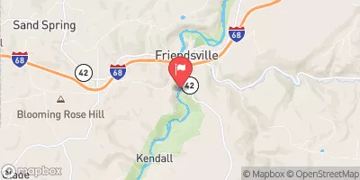
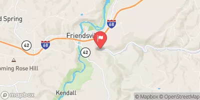
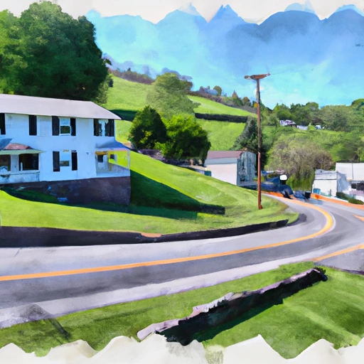
Adventure Sports Center Pond, also known as Adventure Park Pond, is a recreational gem nestled in McHenry, Maryland.
Summary
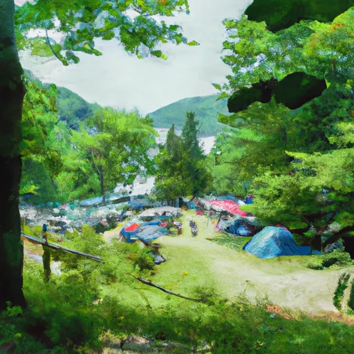
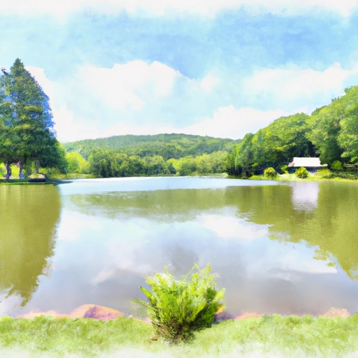
Managed by the local government, this Earth-type dam was completed in 2007 and boasts a height of 27 feet, with a storage capacity of 40 acre-feet and a surface area of 3.19 acres. The pond's primary purpose is recreation, offering a tranquil setting for water enthusiasts to enjoy activities such as kayaking, paddleboarding, and fishing.
Situated offstream from Fork Run, this picturesque pond is a popular destination for outdoor adventurers seeking a serene escape. With a low hazard potential and moderate risk assessment, Adventure Sports Center Pond provides a safe environment for visitors to unwind and engage in water-based activities. The dam features an uncontrolled spillway and has been inspected regularly to ensure its structural integrity and safety standards are upheld.
With its scenic surroundings and a variety of recreational opportunities, Adventure Sports Center Pond is a haven for water resource and climate enthusiasts looking to immerse themselves in the beauty of nature while enjoying their favorite adventure sports. Whether you're seeking a peaceful paddle on the water or a relaxing day of fishing, this idyllic pond in Garrett County, Maryland, is sure to captivate outdoor enthusiasts of all ages.
Regional Streamflow Levels
15-Day Long Term Forecast
Year Completed |
2007 |
Dam Length |
1530 |
Dam Height |
27 |
River Or Stream |
Offstream-Fork Run |
Primary Dam Type |
Earth |
Surface Area |
3.19 |
Hydraulic Height |
16 |
Drainage Area |
0.02 |
Nid Storage |
40 |
Structural Height |
22 |
Outlet Gates |
Uncontrolled - 0 |
Hazard Potential |
Low |
Foundations |
Soil |
Nid Height |
27 |
Seasonal Comparison
5-Day Hourly Forecast Detail
Dam Data Reference
Condition Assessment
SatisfactoryNo existing or potential dam safety deficiencies are recognized. Acceptable performance is expected under all loading conditions (static, hydrologic, seismic) in accordance with the minimum applicable state or federal regulatory criteria or tolerable risk guidelines.
Fair
No existing dam safety deficiencies are recognized for normal operating conditions. Rare or extreme hydrologic and/or seismic events may result in a dam safety deficiency. Risk may be in the range to take further action. Note: Rare or extreme event is defined by the regulatory agency based on their minimum
Poor A dam safety deficiency is recognized for normal operating conditions which may realistically occur. Remedial action is necessary. POOR may also be used when uncertainties exist as to critical analysis parameters which identify a potential dam safety deficiency. Investigations and studies are necessary.
Unsatisfactory
A dam safety deficiency is recognized that requires immediate or emergency remedial action for problem resolution.
Not Rated
The dam has not been inspected, is not under state or federal jurisdiction, or has been inspected but, for whatever reason, has not been rated.
Not Available
Dams for which the condition assessment is restricted to approved government users.
Hazard Potential Classification
HighDams assigned the high hazard potential classification are those where failure or mis-operation will probably cause loss of human life.
Significant
Dams assigned the significant hazard potential classification are those dams where failure or mis-operation results in no probable loss of human life but can cause economic loss, environment damage, disruption of lifeline facilities, or impact other concerns. Significant hazard potential classification dams are often located in predominantly rural or agricultural areas but could be in areas with population and significant infrastructure.
Low
Dams assigned the low hazard potential classification are those where failure or mis-operation results in no probable loss of human life and low economic and/or environmental losses. Losses are principally limited to the owner's property.
Undetermined
Dams for which a downstream hazard potential has not been designated or is not provided.
Not Available
Dams for which the downstream hazard potential is restricted to approved government users.
Area Campgrounds
 Deep Creek Lake State Park
 Swallow Falls State Park
 Mill Run - Youghiogheny River Lake
 Big Run State Park
 Camp Sonrise Mountain Christian Retreat Center
 Lost Land Run - Potomac State Forest
 Savage River Reservoir Near Bloomington
 Bloomington Lake Near Elk Garden
 South Mill Creek Near Mozer
 Whetstone Rn Nr Mannington
 Blue Trail Garrett County
River Runs
-
 Begins As River Passes Under The Herrington Manor Road Bridge At Oakland, Maryland To The Corporate Boundary Of Friendsville, Maryland
-
 Begins Below The Youghiogheny River Lake Dam In Confluence, Pennsylvania To Ends In South Connellsville, Pennsylvania
-
 State Park Bridge To North Fork
-
 North Fork To Hickory Lick Run
-
 Otter Creek To Blackwater
-
 Perennial Stream At Forks To Dolly Sods Wilderness Boundary
 Broadford Lake
 Little Youghiogheny River Reservoir
 Snowy Creek
 Savage River Reservoir
 Bruceton Mills Public Fishing Area