
Summary
Built in 1929, this concrete dam stands at an impressive height of 389 feet and has a normal storage capacity of 50,000 acre-feet. With a maximum discharge of 105,300 cubic feet per second, Diablo plays a crucial role in flood risk reduction, recreation, and providing a habitat for fish and wildlife.
Managed by the Federal Energy Regulatory Commission, Diablo's primary purpose is hydroelectric power generation. The dam features a controlled spillway with a width of 380 feet and 19 Tainter radial gates for water release. Despite its high hazard potential, the condition assessment and risk management measures for Diablo are not currently available, highlighting the need for continued monitoring and maintenance to ensure the safety and sustainability of this vital water resource.
For water resource and climate enthusiasts, Diablo offers a fascinating glimpse into the intersection of infrastructure, energy production, and environmental stewardship. As a key player in the Pacific Northwest's hydropower network, Diablo stands as a testament to the ingenuity and engineering prowess of its designer, Lars Jorgensen, while also serving as a reminder of the ongoing challenges and responsibilities associated with managing water resources in a changing climate.
Year Completed |
1929 |
Dam Length |
1180 |
Dam Height |
389 |
River Or Stream |
Skagit River |
Primary Dam Type |
Concrete |
Surface Area |
770 |
Hydraulic Height |
335 |
Drainage Area |
1160 |
Nid Storage |
89200 |
Structural Height |
389 |
Outlet Gates |
Tainter (radial) - 19 |
Hazard Potential |
High |
Foundations |
Rock |
Nid Height |
389 |
Seasonal Comparison
Weather Forecast
Dam Data Reference
Condition Assessment
SatisfactoryNo existing or potential dam safety deficiencies are recognized. Acceptable performance is expected under all loading conditions (static, hydrologic, seismic) in accordance with the minimum applicable state or federal regulatory criteria or tolerable risk guidelines.
Fair
No existing dam safety deficiencies are recognized for normal operating conditions. Rare or extreme hydrologic and/or seismic events may result in a dam safety deficiency. Risk may be in the range to take further action. Note: Rare or extreme event is defined by the regulatory agency based on their minimum
Poor A dam safety deficiency is recognized for normal operating conditions which may realistically occur. Remedial action is necessary. POOR may also be used when uncertainties exist as to critical analysis parameters which identify a potential dam safety deficiency. Investigations and studies are necessary.
Unsatisfactory
A dam safety deficiency is recognized that requires immediate or emergency remedial action for problem resolution.
Not Rated
The dam has not been inspected, is not under state or federal jurisdiction, or has been inspected but, for whatever reason, has not been rated.
Not Available
Dams for which the condition assessment is restricted to approved government users.
Hazard Potential Classification
HighDams assigned the high hazard potential classification are those where failure or mis-operation will probably cause loss of human life.
Significant
Dams assigned the significant hazard potential classification are those dams where failure or mis-operation results in no probable loss of human life but can cause economic loss, environment damage, disruption of lifeline facilities, or impact other concerns. Significant hazard potential classification dams are often located in predominantly rural or agricultural areas but could be in areas with population and significant infrastructure.
Low
Dams assigned the low hazard potential classification are those where failure or mis-operation results in no probable loss of human life and low economic and/or environmental losses. Losses are principally limited to the owner's property.
Undetermined
Dams for which a downstream hazard potential has not been designated or is not provided.
Not Available
Dams for which the downstream hazard potential is restricted to approved government users.
Area Campgrounds
| Location | Reservations | Toilets |
|---|---|---|
 Gorge Lake Campground
|
||
 Thunder Point
|
||
 Hidden Cove
|
||
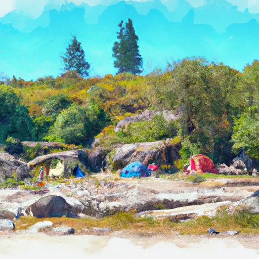 Buster Brown
|
||
 Colonial Creek North Loop
|
||
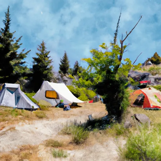 Sourdough
|
Nearby Reservoirs
 Diablo
 Diablo Reservoir Near Newhalem
River Runs
-
 Begins Below Gorge Powerhouse To Ross Lake National Recreation Area Boundary
-
 Begins Upstream Of The Diversion Dam (Rm 1) To Confluence With Skagit River
-
 Upper Goodell Campground (Rm 0.5) To Confluence With Skagit River
-
 Ross Lake National Recreation Area Boundary To Slack Water Of Ross Lake
-
 Confluence Of Canyon And Granite Creeks To Ross Lake National Recreation Area Boundary
-
 Headwaters To Ends Upstream Of The Diversion Dam (Rm 1)