Ross dam

Ross
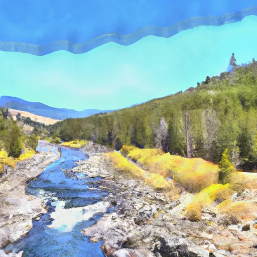
Ross is a hydroelectric dam located in Whatcom, Washington, along the Skagit River. Built in 1949 by the U.S. Bureau of Reclamation and Dr. J.L. Savage, the dam stands at 540 feet in height with a hydraulic height of 395 feet. It serves multiple purposes, including flood risk reduction, recreation, and providing storage for fish and wildlife ponds. With a storage capacity of over 1.4 million acre-feet, Ross plays a crucial role in managing water resources in the region.
Managed by the Federal Energy Regulatory Commission, Ross has a controlled spillway with a width of 240 feet and is equipped with 12 Tainter radial gates. The dam has a high hazard potential and is at a very high risk level, according to assessments. While the condition assessment is not available, the emergency action plan for the dam was last revised in January 2021. With its strategic location and significant storage capacity, Ross remains a key asset for water resource management and climate resilience in the region.
The dam's impact extends beyond hydroelectric power generation, as it also provides vital flood protection, recreational opportunities, and habitat conservation for wildlife. Its presence along the Skagit River demonstrates the intersection of water resource management, renewable energy production, and environmental stewardship. As climate change continues to impact water availability and extreme weather events, Ross serves as a critical infrastructure for adapting to and mitigating the effects of a changing climate in the Pacific Northwest.
Plan around the weather
Same NOAA / yr.no feed Snoflo's iOS app uses. Watch the precipitation column on the meteogram -- rain on the basin upstream typically lifts inflow 24-72 hours later.
Next 5 days, hour by hour
Temperature line with weather symbols on top, snow + rain accumulation as columns, humidity as a dotted line.
5-day forecast table
Every 3 hours, broken out across temperature, snow, rain, humidity, and wind. Each cell is colour-coded relative to the column min/max.
| Time | Condition | Temp (°F) | Snow (in) | Rain (in) | Humidity (%) | Wind (mps) | Wind dir |
|---|---|---|---|---|---|---|---|
| Loading detailed forecast… | |||||||
15-day temperature & precipitation
Daily temperatures, snow, and rain projected over the next two weeks.
Nearby streamflow gauges
USGS streamgauges around Ross -- inflows here typically show up in storage 24-72 hours later.
| Streamgauge | Discharge | View |
|---|---|---|
| Thunder Creek Near Newhalem | 868 cfs | → |
| Skagit River At Newhalem | 3,950 cfs | → |
| Newhalem Creek Near Newhalem | 30 cfs | → |
| Bacon Creek Below Oakes Creek Near Marblemount | 206 cfs | → |
| Cascade River At Marblemount | 669 cfs | → |
| Skagit River At Marblemount | 4,860 cfs | → |
Make a day of it
Boat launches, lakeside camping, fishing access, and other reservoirs near Ross.
Boat launches
See all →


Campgrounds
See all →


Fishing spots
See all →
River runs
See all →


About Ross
Where does the data for Ross come from?
Structural and regulatory data come from the U.S. Army Corps of Engineers' National Inventory of Dams (NID). Weather forecast comes from NOAA / yr.no -- the same feed Snoflo's iOS app uses.
How often is the report updated?
NID structural data refreshes annually as the Corps publishes updated assessments. The weather forecast refreshes throughout the day.
What does the High hazard rating mean?
The Corps of Engineers' hazard potential classification grades probable consequences if the dam fails: High = probable loss of human life; Significant = no probable loss of human life but possible economic loss / environmental damage; Low = no probable loss of human life, only minor economic / environmental losses. See the Dam Data Reference card below for the full definitions.
What's "% of normal"?
The current storage value compared to the historical average storage on this calendar day. 100% = right on average; values above 100% mean above-normal storage (wet year); values below mean below-normal (dry year or drought).
Can I get alerts when storage crosses a threshold?
Yes -- alerts are managed in the Snoflo iOS app. Favorite this dam, set a threshold, and you'll get a push the moment conditions cross.
Dam data reference
Condition Assessment
- Satisfactory
- No existing or potential dam safety deficiencies are recognized. Acceptable performance is expected under all loading conditions (static, hydrologic, seismic) in accordance with the minimum applicable state or federal regulatory criteria or tolerable risk guidelines.
- Fair
- No existing dam safety deficiencies are recognized for normal operating conditions. Rare or extreme hydrologic and/or seismic events may result in a dam safety deficiency. Risk may be in the range to take further action.
- Poor
- A dam safety deficiency is recognized for normal operating conditions which may realistically occur. Remedial action is necessary. POOR may also be used when uncertainties exist as to critical analysis parameters which identify a potential dam safety deficiency.
- Unsatisfactory
- A dam safety deficiency is recognized that requires immediate or emergency remedial action for problem resolution.
- Not Rated
- The dam has not been inspected, is not under state or federal jurisdiction, or has been inspected but, for whatever reason, has not been rated.
Hazard Potential Classification
- High
- Dams assigned the high hazard potential classification are those where failure or mis-operation will probably cause loss of human life.
- Significant
- Dams assigned the significant hazard potential classification are those dams where failure or mis-operation results in no probable loss of human life but can cause economic loss, environmental damage, disruption of lifeline facilities, or impact other concerns. Significant hazard potential classification dams are often located in predominantly rural or agricultural areas but could be in areas with population and significant infrastructure.
- Low
- Dams assigned the low hazard potential classification are those where failure or mis-operation results in no probable loss of human life and low economic and/or environmental losses. Losses are principally limited to the owner's property.
- Undetermined
- Dams for which a downstream hazard potential has not been designated or is not provided.