Red Bluff Dam Dam

Red Bluff Dam
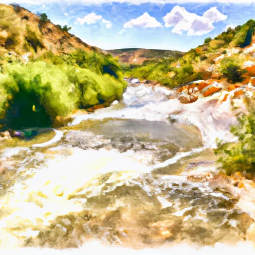
Red Bluff Dam, located in Pecos, Texas, stands as a pivotal structure along the Pecos River, serving the primary purpose of irrigation since its completion in 1936. Designed by HDR and Vernon L. Sullivan, this earth dam reaches a height of 106 feet and spans a length of 9320 feet, with a storage capacity of over half a million acre-feet. The dam plays a crucial role in supporting agricultural activities in the region, with a normal storage capacity of 151,000 acre-feet and a maximum discharge capacity of 309,001 cubic feet per second.
Managed by local government authorities and regulated by the Texas Commission on Environmental Quality (TCEQ), Red Bluff Dam undergoes regular inspections and maintenance to ensure its structural integrity and operational efficiency. The dam features a spillway width of 1540 feet and a series of outlet gates, including Tainter and radial gates, to manage water flow effectively. Despite its moderate hazard potential, the dam has not been rated for its condition, indicating the need for ongoing risk management practices and emergency preparedness measures.
As a key component of water resource management in Loving County, Texas, Red Bluff Dam represents a vital infrastructure supporting the local economy and ecosystem. With its historical significance and continued relevance in the face of changing climate patterns, the dam stands as a testament to human ingenuity in harnessing water resources for sustainable development in arid regions.
Plan around the weather
Same NOAA / yr.no feed Snoflo's iOS app uses. Watch the precipitation column on the meteogram -- rain on the basin upstream typically lifts inflow 24-72 hours later.
Next 5 days, hour by hour
Temperature line with weather symbols on top, snow + rain accumulation as columns, humidity as a dotted line.
5-day forecast table
Every 3 hours, broken out across temperature, snow, rain, humidity, and wind. Each cell is colour-coded relative to the column min/max.
| Time | Condition | Temp (°F) | Snow (in) | Rain (in) | Humidity (%) | Wind (mps) | Wind dir |
|---|---|---|---|---|---|---|---|
| Loading detailed forecast… | |||||||
15-day temperature & precipitation
Daily temperatures, snow, and rain projected over the next two weeks.
Nearby streamflow gauges
USGS streamgauges around Red Bluff Dam -- inflows here typically show up in storage 24-72 hours later.
| Streamgauge | Discharge | View |
|---|---|---|
| Pecos River Near Orla | 1 cfs | → |
| Delaware River Nr Red Bluff | 49 cfs | → |
| Pecos River At Red Bluff | 53 cfs | → |
| Pecos River At Pierce Canyon Crossing | 78 cfs | → |
| Pecos River Near Malaga | 53 cfs | → |
| Black River Above Malaga | 6 cfs | → |
Make a day of it
Boat launches, lakeside camping, fishing access, and other reservoirs near Red Bluff Dam.
Boat launches
See all →


Fishing spots
See all →
River runs
See all →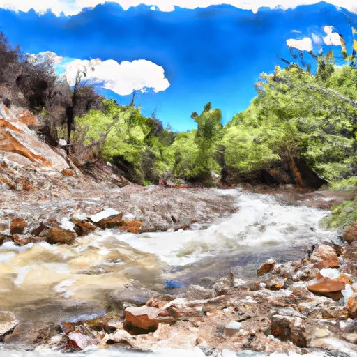


More reservoirs
See all →


About Red Bluff Dam
Where does the data for Red Bluff Dam come from?
Structural and regulatory data come from the U.S. Army Corps of Engineers' National Inventory of Dams (NID). Weather forecast comes from NOAA / yr.no -- the same feed Snoflo's iOS app uses.
How often is the report updated?
NID structural data refreshes annually as the Corps publishes updated assessments. The weather forecast refreshes throughout the day.
What does the Not Available hazard rating mean?
The Corps of Engineers' hazard potential classification grades probable consequences if the dam fails: High = probable loss of human life; Significant = no probable loss of human life but possible economic loss / environmental damage; Low = no probable loss of human life, only minor economic / environmental losses. See the Dam Data Reference card below for the full definitions.
What's "% of normal"?
The current storage value compared to the historical average storage on this calendar day. 100% = right on average; values above 100% mean above-normal storage (wet year); values below mean below-normal (dry year or drought).
Can I get alerts when storage crosses a threshold?
Yes -- alerts are managed in the Snoflo iOS app. Favorite this dam, set a threshold, and you'll get a push the moment conditions cross.
Dam data reference
Condition Assessment
- Satisfactory
- No existing or potential dam safety deficiencies are recognized. Acceptable performance is expected under all loading conditions (static, hydrologic, seismic) in accordance with the minimum applicable state or federal regulatory criteria or tolerable risk guidelines.
- Fair
- No existing dam safety deficiencies are recognized for normal operating conditions. Rare or extreme hydrologic and/or seismic events may result in a dam safety deficiency. Risk may be in the range to take further action.
- Poor
- A dam safety deficiency is recognized for normal operating conditions which may realistically occur. Remedial action is necessary. POOR may also be used when uncertainties exist as to critical analysis parameters which identify a potential dam safety deficiency.
- Unsatisfactory
- A dam safety deficiency is recognized that requires immediate or emergency remedial action for problem resolution.
- Not Rated
- The dam has not been inspected, is not under state or federal jurisdiction, or has been inspected but, for whatever reason, has not been rated.
Hazard Potential Classification
- High
- Dams assigned the high hazard potential classification are those where failure or mis-operation will probably cause loss of human life.
- Significant
- Dams assigned the significant hazard potential classification are those dams where failure or mis-operation results in no probable loss of human life but can cause economic loss, environmental damage, disruption of lifeline facilities, or impact other concerns. Significant hazard potential classification dams are often located in predominantly rural or agricultural areas but could be in areas with population and significant infrastructure.
- Low
- Dams assigned the low hazard potential classification are those where failure or mis-operation results in no probable loss of human life and low economic and/or environmental losses. Losses are principally limited to the owner's property.
- Undetermined
- Dams for which a downstream hazard potential has not been designated or is not provided.