Pineview Reservoir Reservoir Report
Last Updated: February 21, 2026
Pineview Reservoir is a man-made lake located in Northern Utah, USA.
Summary
It was created in 1937 as part of a project to improve irrigation and flood control in the Ogden River watershed. The reservoir is fed by the Ogden River and several smaller streams, as well as snowmelt from the surrounding mountains. The water is primarily used for irrigation, but also supports recreational activities such as boating, fishing, and swimming. The reservoir has a surface area of approximately 2,800 acres and a maximum depth of 130 feet. The surrounding area includes a state park and several campgrounds. Snowpack provides a significant portion of the water supply for the reservoir, with most of the runoff occurring in the spring and early summer. Agricultural uses include irrigation for fruit orchards and vegetable fields.
°F
°F
mph
Wind
%
Humidity
15-Day Weather Outlook
Reservoir Details
| Storage 24hr Change | 0.2% |
| Percent of Normal | 128% |
| Minimum |
1,827.31 acre-ft
1992-10-28 |
| Maximum |
183,429.87 acre-ft
2023-03-09 |
| Average | 55,035 acre-ft |
| Hydraulic_Height | 103 |
| Drainage_Area | 298 |
| Years_Modified | 1993 - Seismic, 1993 - Structural, 2004 - Seismic, 2004 - Structural |
| Year_Completed | 1937 |
| Nid_Storage | 116150 |
| Structural_Height | 137 |
| Surface_Area | 2874 |
| Hazard_Potential | High |
| River_Or_Stream | OGDEN RIVER |
| Dam_Length | 600 |
| Primary_Dam_Type | Rockfill |
| Nid_Height | 137 |
Seasonal Comparison
Storage Levels
Storage Levels
Pool Elevation Levels
Total Release Levels
Inflow Levels
5-Day Hourly Forecast Detail
Nearby Streamflow Levels
Dam Data Reference
Condition Assessment
SatisfactoryNo existing or potential dam safety deficiencies are recognized. Acceptable performance is expected under all loading conditions (static, hydrologic, seismic) in accordance with the minimum applicable state or federal regulatory criteria or tolerable risk guidelines.
Fair
No existing dam safety deficiencies are recognized for normal operating conditions. Rare or extreme hydrologic and/or seismic events may result in a dam safety deficiency. Risk may be in the range to take further action. Note: Rare or extreme event is defined by the regulatory agency based on their minimum
Poor A dam safety deficiency is recognized for normal operating conditions which may realistically occur. Remedial action is necessary. POOR may also be used when uncertainties exist as to critical analysis parameters which identify a potential dam safety deficiency. Investigations and studies are necessary.
Unsatisfactory
A dam safety deficiency is recognized that requires immediate or emergency remedial action for problem resolution.
Not Rated
The dam has not been inspected, is not under state or federal jurisdiction, or has been inspected but, for whatever reason, has not been rated.
Not Available
Dams for which the condition assessment is restricted to approved government users.
Hazard Potential Classification
HighDams assigned the high hazard potential classification are those where failure or mis-operation will probably cause loss of human life.
Significant
Dams assigned the significant hazard potential classification are those dams where failure or mis-operation results in no probable loss of human life but can cause economic loss, environment damage, disruption of lifeline facilities, or impact other concerns. Significant hazard potential classification dams are often located in predominantly rural or agricultural areas but could be in areas with population and significant infrastructure.
Low
Dams assigned the low hazard potential classification are those where failure or mis-operation results in no probable loss of human life and low economic and/or environmental losses. Losses are principally limited to the owner's property.
Undetermined
Dams for which a downstream hazard potential has not been designated or is not provided.
Not Available
Dams for which the downstream hazard potential is restricted to approved government users.
Area Campgrounds
| Location | Reservations | Toilets |
|---|---|---|
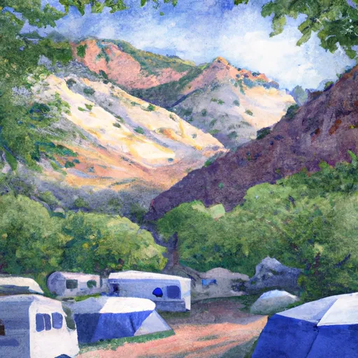 Maples Campground
|
||
 Old Maple Campground
|
||
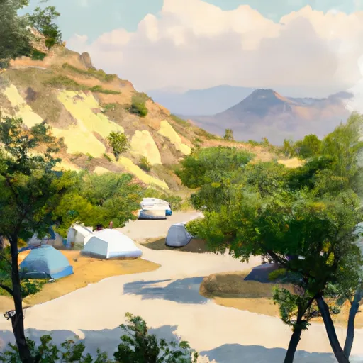 Anderson Cove Campground
|
||
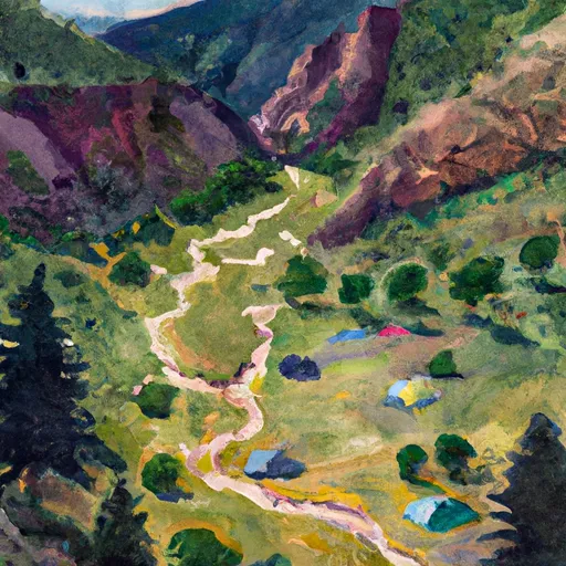 Middle Fork Dispersed Camping
|
||
 Magpie Campground
|
||
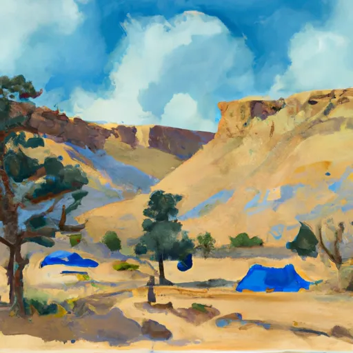 Botts Campground
|

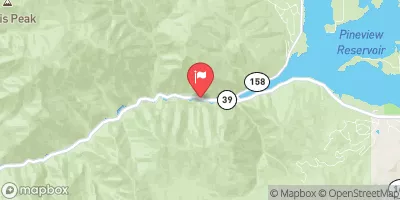


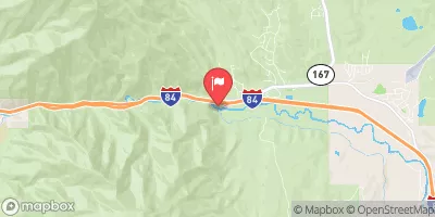
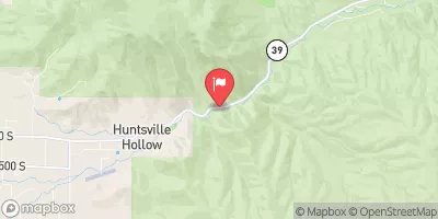
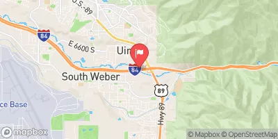
 Pineview
 Pineview Reservoir
 Ogden Narrows
 Rainbow Gardens
 Lower Ogden
 Ogden Play Park
 Scrambled Eggs Bend
 Mouth of Weber Canyon to Riverdale