U. S. Steel Corp. Tailings (Upper) Dam

U. S. Steel Corp. Tailings (Upper)
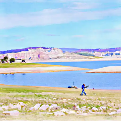
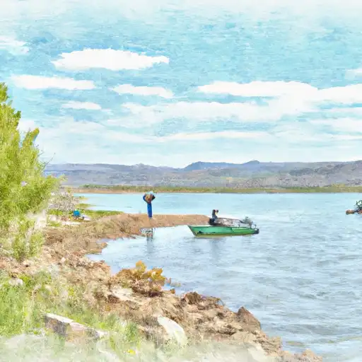
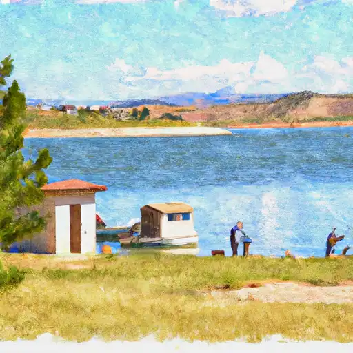
U. S. Steel Corp. Tailings (Upper) is a privately owned tailings dam located in Carbon County, Utah, with a low hazard potential according to the data updated in March 2021. The dam, completed in 1958, serves as a storage facility with a capacity of 150 acre-feet and a hydraulic height of 7 feet. It is regulated, permitted, inspected, and enforced by the Utah Division of Water Rights, ensuring compliance with state water resource regulations.
Situated on the Price River offstream, the dam is primarily used for tailings disposal purposes and is categorized as an earth dam with a structural height of 10 feet. Despite being not rated for condition assessment, the dam undergoes inspections every 5 years, with the last one conducted in September 2020. With no associated structures, spillways, or outlet gates, the U. S. Steel Corp. Tailings (Upper) presents a stable and well-maintained structure that meets state jurisdiction and regulatory standards for water resource management and climate protection.
For water resource and climate enthusiasts, the U. S. Steel Corp. Tailings (Upper) in Utah offers an intriguing glimpse into the management of tailings facilities within the state. With a focus on safety and compliance, this privately owned dam serves as a key player in the storage and disposal of tailings while adhering to state regulations and inspection protocols. The dam's low hazard potential and steady condition make it a noteworthy site for those interested in sustainable water resource practices and environmental stewardship.
Plan around the weather
Same NOAA / yr.no feed Snoflo's iOS app uses. Watch the precipitation column on the meteogram -- rain on the basin upstream typically lifts inflow 24-72 hours later.
Next 5 days, hour by hour
Temperature line with weather symbols on top, snow + rain accumulation as columns, humidity as a dotted line.
5-day forecast table
Every 3 hours, broken out across temperature, snow, rain, humidity, and wind. Each cell is colour-coded relative to the column min/max.
| Time | Condition | Temp (°F) | Snow (in) | Rain (in) | Humidity (%) | Wind (mps) | Wind dir |
|---|---|---|---|---|---|---|---|
| Loading detailed forecast… | |||||||
15-day temperature & precipitation
Daily temperatures, snow, and rain projected over the next two weeks.
Nearby streamflow gauges
USGS streamgauges around U. S. Steel Corp. Tailings (Upper) -- inflows here typically show up in storage 24-72 hours later.
| Streamgauge | Discharge | View |
|---|---|---|
| Desert Seep Wash Near Wellington | 2 cfs | → |
| Price River At Woodside | · | → |
| Mud Creek Bl Winter Quarters Canyon At Scofield | 9 cfs | → |
| White River Bl Tabbyune C Near Soldier Summit | · | → |
| Fish Creek Above Reservoir | 12 cfs | → |
| Fairview Tunnel Near Fairview | 3 cfs | → |


About U. S. Steel Corp. Tailings (Upper)
Where does the data for U. S. Steel Corp. Tailings (Upper) come from?
Structural and regulatory data come from the U.S. Army Corps of Engineers' National Inventory of Dams (NID). Weather forecast comes from NOAA / yr.no -- the same feed Snoflo's iOS app uses.
How often is the report updated?
NID structural data refreshes annually as the Corps publishes updated assessments. The weather forecast refreshes throughout the day.
What does the Low hazard rating mean?
The Corps of Engineers' hazard potential classification grades probable consequences if the dam fails: High = probable loss of human life; Significant = no probable loss of human life but possible economic loss / environmental damage; Low = no probable loss of human life, only minor economic / environmental losses. See the Dam Data Reference card below for the full definitions.
What's "% of normal"?
The current storage value compared to the historical average storage on this calendar day. 100% = right on average; values above 100% mean above-normal storage (wet year); values below mean below-normal (dry year or drought).
Can I get alerts when storage crosses a threshold?
Yes -- alerts are managed in the Snoflo iOS app. Favorite this dam, set a threshold, and you'll get a push the moment conditions cross.
Dam data reference
Condition Assessment
- Satisfactory
- No existing or potential dam safety deficiencies are recognized. Acceptable performance is expected under all loading conditions (static, hydrologic, seismic) in accordance with the minimum applicable state or federal regulatory criteria or tolerable risk guidelines.
- Fair
- No existing dam safety deficiencies are recognized for normal operating conditions. Rare or extreme hydrologic and/or seismic events may result in a dam safety deficiency. Risk may be in the range to take further action.
- Poor
- A dam safety deficiency is recognized for normal operating conditions which may realistically occur. Remedial action is necessary. POOR may also be used when uncertainties exist as to critical analysis parameters which identify a potential dam safety deficiency.
- Unsatisfactory
- A dam safety deficiency is recognized that requires immediate or emergency remedial action for problem resolution.
- Not Rated
- The dam has not been inspected, is not under state or federal jurisdiction, or has been inspected but, for whatever reason, has not been rated.
Hazard Potential Classification
- High
- Dams assigned the high hazard potential classification are those where failure or mis-operation will probably cause loss of human life.
- Significant
- Dams assigned the significant hazard potential classification are those dams where failure or mis-operation results in no probable loss of human life but can cause economic loss, environmental damage, disruption of lifeline facilities, or impact other concerns. Significant hazard potential classification dams are often located in predominantly rural or agricultural areas but could be in areas with population and significant infrastructure.
- Low
- Dams assigned the low hazard potential classification are those where failure or mis-operation results in no probable loss of human life and low economic and/or environmental losses. Losses are principally limited to the owner's property.
- Undetermined
- Dams for which a downstream hazard potential has not been designated or is not provided.