


Beartree Branch Slurry Impoundment Reservoir Report
Last Updated: May 11, 2026
°F
°F
mph
Wind
%
Humidity
Located in Harlan, Kentucky, the Beartree Branch Slurry Impoundment, also known as Beartree Dam, is a privately owned structure primarily used for water supply purposes.
Summary
Standing at a height of 345 feet and stretching over a length of 1100 feet, this earth dam holds a storage capacity of 1945 acre-feet. With a high hazard potential, it falls under the regulatory oversight of the Mine Safety and Health Administration, ensuring safety standards are met for its operation.
Despite not being state regulated or permitted, the Beartree Branch Slurry Impoundment poses a potential risk due to its high hazard potential. The structure lacks recent data on condition assessment and emergency action plans, raising concerns regarding its readiness for potential disasters. With the dam's location in Pathfork and its close proximity to water resources, enthusiasts and climate advocates should monitor its status closely to ensure the safety and protection of the surrounding environment.
Regional Streamflow Levels
 Martins Fork Above Smith
|
8cfs |
 Martins Fork Near Smith
|
17cfs |
 Cumberland River Near Harlan
|
288cfs |
 Powell River Near Arthur
|
430cfs |
 Powell River Near Jonesville
|
234cfs |
 Clinch River Above Tazewell
|
822cfs |
15-Day Long Term Forecast
Dam Length |
1100 |
Dam Height |
345 |
Primary Dam Type |
Earth |
Nid Storage |
1945 |
Hazard Potential |
High |
Nid Height |
345 |
Seasonal Comparison
5-Day Hourly Forecast Detail
Dam Data Reference
Condition Assessment
SatisfactoryNo existing or potential dam safety deficiencies are recognized. Acceptable performance is expected under all loading conditions (static, hydrologic, seismic) in accordance with the minimum applicable state or federal regulatory criteria or tolerable risk guidelines.
Fair
No existing dam safety deficiencies are recognized for normal operating conditions. Rare or extreme hydrologic and/or seismic events may result in a dam safety deficiency. Risk may be in the range to take further action. Note: Rare or extreme event is defined by the regulatory agency based on their minimum
Poor A dam safety deficiency is recognized for normal operating conditions which may realistically occur. Remedial action is necessary. POOR may also be used when uncertainties exist as to critical analysis parameters which identify a potential dam safety deficiency. Investigations and studies are necessary.
Unsatisfactory
A dam safety deficiency is recognized that requires immediate or emergency remedial action for problem resolution.
Not Rated
The dam has not been inspected, is not under state or federal jurisdiction, or has been inspected but, for whatever reason, has not been rated.
Not Available
Dams for which the condition assessment is restricted to approved government users.
Hazard Potential Classification
HighDams assigned the high hazard potential classification are those where failure or mis-operation will probably cause loss of human life.
Significant
Dams assigned the significant hazard potential classification are those dams where failure or mis-operation results in no probable loss of human life but can cause economic loss, environment damage, disruption of lifeline facilities, or impact other concerns. Significant hazard potential classification dams are often located in predominantly rural or agricultural areas but could be in areas with population and significant infrastructure.
Low
Dams assigned the low hazard potential classification are those where failure or mis-operation results in no probable loss of human life and low economic and/or environmental losses. Losses are principally limited to the owner's property.
Undetermined
Dams for which a downstream hazard potential has not been designated or is not provided.
Not Available
Dams for which the downstream hazard potential is restricted to approved government users.
Area Campgrounds
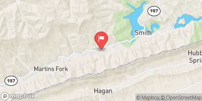
 Martins Fork Cabin
 Gibson Gap
 Wilderness Road - Cumberland Gap National Park
 Pine Mountain State Park
 Bunch Hollow Campground & Resort
 Camp Cargill
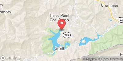
 Martins Fork Lk At Martins Fk Dam Nr Smith
 Boat Access Claiborne County
River Runs
-
 Headwaters To Alternative Route 58
-
 Fs Route 700 To Confluence With Clinch River
-
 4 Miles Downstream From The Kentucky Highway 90 Bridge To Confluence With Cane Creek
-
 Kentucky Road 679 To Confluence Of Cumberland River
-
 Kentucky Road 478 To Kentucky Road 679
-
 Kentucky Road 80 Bridge To Downstream Part Of Rockcastle Narrows
 Long Bend Fishing Site
 Fishing Point
 Bark Camp Recreation Area