


Cherokee Dam Reservoir Report
Last Updated: May 2, 2026
Nearby: Qst Llc Dam Meadow Lake Dam
°F
°F
mph
Wind
%
Humidity
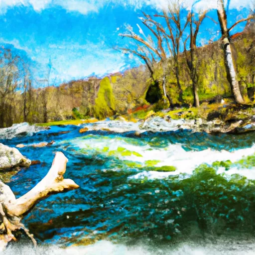
Cherokee Dam, located in Frederick, Virginia, along the Keckley Run, is a significant earth dam with a height of 46 feet and a length of 750 feet.
Summary
Owned by the local government, the dam serves primarily for recreational purposes, offering a storage capacity of 443 acre-feet and a surface area of 18 acres. The dam is regulated by the Department of Conservation and Recreation in Virginia, ensuring state jurisdiction, permitting, inspection, and enforcement.
Despite being labeled as having a "Significant" hazard potential, the condition assessment of Cherokee Dam is currently rated as "Not Rated." The last inspection took place in February 2015, with a frequency of one inspection per year. Emergency action plans have been prepared, with the last revision in September 2012. The dam's risk assessment, risk management measures, and inundation maps status are not specified in the available data, suggesting a need for further evaluation and documentation.
For water resource and climate enthusiasts, Cherokee Dam presents an intriguing case study in dam safety and management. With its location in a picturesque setting and its crucial role in providing recreational opportunities, understanding the monitoring and maintenance practices of this dam can offer valuable insights into balancing human enjoyment of water resources with the need for safety and sustainability. As climate change impacts water infrastructure, including dams, ensuring the resilience and reliability of structures like Cherokee Dam becomes increasingly important for the surrounding community and ecosystem.
Regional Streamflow Levels


15-Day Long Term Forecast
Dam Length |
750 |
Dam Height |
46 |
River Or Stream |
Keckley Run |
Primary Dam Type |
Earth |
Surface Area |
18 |
Hydraulic Height |
46 |
Drainage Area |
0.81 |
Nid Storage |
443 |
Structural Height |
46 |
Hazard Potential |
Significant |
Nid Height |
46 |
Seasonal Comparison
5-Day Hourly Forecast Detail
Dam Data Reference
Condition Assessment
SatisfactoryNo existing or potential dam safety deficiencies are recognized. Acceptable performance is expected under all loading conditions (static, hydrologic, seismic) in accordance with the minimum applicable state or federal regulatory criteria or tolerable risk guidelines.
Fair
No existing dam safety deficiencies are recognized for normal operating conditions. Rare or extreme hydrologic and/or seismic events may result in a dam safety deficiency. Risk may be in the range to take further action. Note: Rare or extreme event is defined by the regulatory agency based on their minimum
Poor A dam safety deficiency is recognized for normal operating conditions which may realistically occur. Remedial action is necessary. POOR may also be used when uncertainties exist as to critical analysis parameters which identify a potential dam safety deficiency. Investigations and studies are necessary.
Unsatisfactory
A dam safety deficiency is recognized that requires immediate or emergency remedial action for problem resolution.
Not Rated
The dam has not been inspected, is not under state or federal jurisdiction, or has been inspected but, for whatever reason, has not been rated.
Not Available
Dams for which the condition assessment is restricted to approved government users.
Hazard Potential Classification
HighDams assigned the high hazard potential classification are those where failure or mis-operation will probably cause loss of human life.
Significant
Dams assigned the significant hazard potential classification are those dams where failure or mis-operation results in no probable loss of human life but can cause economic loss, environment damage, disruption of lifeline facilities, or impact other concerns. Significant hazard potential classification dams are often located in predominantly rural or agricultural areas but could be in areas with population and significant infrastructure.
Low
Dams assigned the low hazard potential classification are those where failure or mis-operation results in no probable loss of human life and low economic and/or environmental losses. Losses are principally limited to the owner's property.
Undetermined
Dams for which a downstream hazard potential has not been designated or is not provided.
Not Available
Dams for which the downstream hazard potential is restricted to approved government users.
Area Campgrounds
| Location | Reservations | Toilets |
|---|---|---|
 Hawk
Hawk
|
||
 Hawk Recreation Area
|
||
 Hawk Campground
|
||
 Log Cabin Campground
|
||
 Short Mountain WMA
|
||
 Liberty Root Campsite 2
|
 Bloomington Lake Near Elk Garden
 Savage River Reservoir Near Bloomington
 South Mill Creek Near Mozer
 Strasburg Trail Strasburg
River Runs
-
 Capon Bridge To Ends Just South Of Largent
-
 Headwaters Adjacent To Fdt 573 To State Route 622 Bridge
-
 State Route 675 At Edinburg, Va To State Highway 55 Southeast Of Strasburg, Va
-
 Wardensville To The Town Of Capon Bridge
-
 Begins Where The Lost River Becomes The Cacapon River To Wardensville
-
 Segment C--Nf Boundary To Confluence With North Fork Shenandoah River
 Batzell Boat Launch
 Orchard Pond
 Battie Mixon Ponds
 Moody Boat Launch
 Town Creek