Briss Lake Dam Dam

Briss Lake Dam
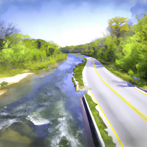
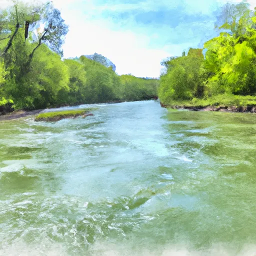
Briss Lake Dam, located in Aurora, Wisconsin, is a federal-owned structure managed by the Forest Service. Built in 1989, this earth dam stands at 8 feet in height and stretches 168 feet in length, serving primarily as a Fish and Wildlife Pond for the surrounding area. The dam's reservoir has a maximum storage capacity of 467 acre-feet, with a normal storage level of 116 acre-feet, covering a surface area of 90 acres.
Situated on the Pine River tributary, Briss Lake Dam plays a crucial role in managing water resources and enhancing wildlife habitats in the region. Despite its low hazard potential, the dam is subject to moderate risk due to its age and limited inspection history. With a spillway width of 16 feet and a maximum discharge capacity of 107 cubic feet per second, the dam is equipped to handle potential flooding events and maintain the safety of downstream communities.
While the dam's condition assessment is currently marked as "Not Rated," ongoing monitoring and risk management measures are essential to ensure the structural integrity and operational effectiveness of Briss Lake Dam. Water resource and climate enthusiasts can appreciate the significance of this infrastructure in sustaining local ecosystems and safeguarding against potential risks associated with water management in the area.
Plan around the weather
Same NOAA / yr.no feed Snoflo's iOS app uses. Watch the precipitation column on the meteogram -- rain on the basin upstream typically lifts inflow 24-72 hours later.
Next 5 days, hour by hour
Temperature line with weather symbols on top, snow + rain accumulation as columns, humidity as a dotted line.
5-day forecast table
Every 3 hours, broken out across temperature, snow, rain, humidity, and wind. Each cell is colour-coded relative to the column min/max.
| Time | Condition | Temp (°F) | Snow (in) | Rain (in) | Humidity (%) | Wind (mps) | Wind dir |
|---|---|---|---|---|---|---|---|
| Loading detailed forecast… | |||||||
15-day temperature & precipitation
Daily temperatures, snow, and rain projected over the next two weeks.
Nearby streamflow gauges
USGS streamgauges around Briss Lake Dam -- inflows here typically show up in storage 24-72 hours later.
| Streamgauge | Discharge | View |
|---|---|---|
| Iron River At County Hwy-424 At Caspian | 59 cfs | → |
| Muskellunge Ck-Muskellunge L Otl-Nr Eagle River | 2 cfs | → |
| Popple River Near Fence | 32 cfs | → |
| Muskellunge Creek Near St. Germain | 9 cfs | → |
| Brule River At Us Highway 2 Near Florence | 198 cfs | → |
| Middle Branch Ontonagon River Near Paulding | 103 cfs | → |


About Briss Lake Dam
Where does the data for Briss Lake Dam come from?
Structural and regulatory data come from the U.S. Army Corps of Engineers' National Inventory of Dams (NID). Weather forecast comes from NOAA / yr.no -- the same feed Snoflo's iOS app uses.
How often is the report updated?
NID structural data refreshes annually as the Corps publishes updated assessments. The weather forecast refreshes throughout the day.
What does the Low hazard rating mean?
The Corps of Engineers' hazard potential classification grades probable consequences if the dam fails: High = probable loss of human life; Significant = no probable loss of human life but possible economic loss / environmental damage; Low = no probable loss of human life, only minor economic / environmental losses. See the Dam Data Reference card below for the full definitions.
What's "% of normal"?
The current storage value compared to the historical average storage on this calendar day. 100% = right on average; values above 100% mean above-normal storage (wet year); values below mean below-normal (dry year or drought).
Can I get alerts when storage crosses a threshold?
Yes -- alerts are managed in the Snoflo iOS app. Favorite this dam, set a threshold, and you'll get a push the moment conditions cross.
Dam data reference
Condition Assessment
- Satisfactory
- No existing or potential dam safety deficiencies are recognized. Acceptable performance is expected under all loading conditions (static, hydrologic, seismic) in accordance with the minimum applicable state or federal regulatory criteria or tolerable risk guidelines.
- Fair
- No existing dam safety deficiencies are recognized for normal operating conditions. Rare or extreme hydrologic and/or seismic events may result in a dam safety deficiency. Risk may be in the range to take further action.
- Poor
- A dam safety deficiency is recognized for normal operating conditions which may realistically occur. Remedial action is necessary. POOR may also be used when uncertainties exist as to critical analysis parameters which identify a potential dam safety deficiency.
- Unsatisfactory
- A dam safety deficiency is recognized that requires immediate or emergency remedial action for problem resolution.
- Not Rated
- The dam has not been inspected, is not under state or federal jurisdiction, or has been inspected but, for whatever reason, has not been rated.
Hazard Potential Classification
- High
- Dams assigned the high hazard potential classification are those where failure or mis-operation will probably cause loss of human life.
- Significant
- Dams assigned the significant hazard potential classification are those dams where failure or mis-operation results in no probable loss of human life but can cause economic loss, environmental damage, disruption of lifeline facilities, or impact other concerns. Significant hazard potential classification dams are often located in predominantly rural or agricultural areas but could be in areas with population and significant infrastructure.
- Low
- Dams assigned the low hazard potential classification are those where failure or mis-operation results in no probable loss of human life and low economic and/or environmental losses. Losses are principally limited to the owner's property.
- Undetermined
- Dams for which a downstream hazard potential has not been designated or is not provided.