Summary
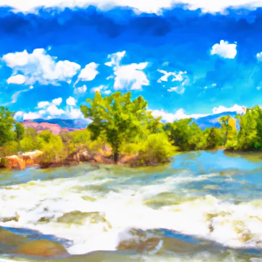
It is a concrete boat ramp located on the Arkansas River in Colorado. The boat ramp is 20 feet wide and is designed to accommodate small to medium-sized watercraft, such as kayaks, canoes, and rafts.
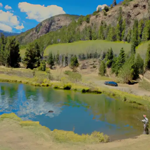
The AHRA - Salida East Rec Site boat ramp is managed by the Arkansas Headwaters Recreation Area (AHRA), which is a department of the Colorado Parks and Wildlife agency. This boat ramp provides access to the Arkansas River, which is a popular destination for water recreation in Colorado. The river is known for its scenic beauty and offers a variety of recreational opportunities, including fishing, kayaking, rafting, and camping.
According to the latest information available on the Colorado Parks and Wildlife website, the AHRA - Salida East Rec Site boat ramp is open year-round. However, the availability of watercraft rentals, services, and facilities may vary depending on the season and weather conditions. It is recommended to check the current river conditions and regulations before planning a visit to this boat ramp.
°F
°F
mph
Wind
%
Humidity

 AHRA - Salida East Rec Site
 AHRA - Point Bar Rec Site
 US 50 Fremont County
 AHRA - Rincon Rec Site
 AHRA - Big Bend Rec Site
 Arkansas River Segment 3
 Salida to Rincon
 Salida Whitewater Park
 Salida Town Run (Stone Bridge to Salida WW Park)
 Pass Creek
 Frantz Lake SWA
 Riverside Ponds (Mt. Ouray SWA)
 O`Haver Lake