Summary
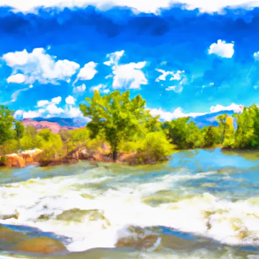
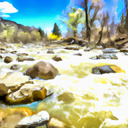
The run features several obstacles, including the "Mill Falls" and "Seidels Suckhole" rapids, which require precise maneuvering. The best time to float this section is in the spring and early summer when the water flow is between 800-1200 CFS. This river run provides stunning views of the Collegiate Peaks and is a popular choice for both locals and tourists.
°F
°F
mph
Wind
%
Humidity
15-Day Weather Outlook
River Run Details
| Last Updated | 2023-06-13 |
| River Levels | 183 cfs (11.18 ft) |
| Percent of Normal | 88% |
| Optimal Range | 450-3000 cfs |
| Status | Too Low |
| Class Level | II+ to III |
| Elevation | 8,629 ft |
| Run Length | 10.0 Mi |
| Gradient | 28 FPM |
| Streamflow Discharge | 157 cfs |
| Gauge Height | 11.0 ft |
| Reporting Streamgage | USGS 07087050 |
5-Day Hourly Forecast Detail
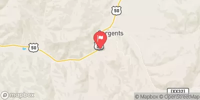
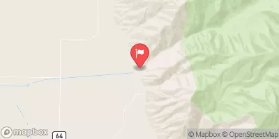
Nearby Streamflow Levels
Area Campgrounds
| Location | Reservations | Toilets |
|---|---|---|
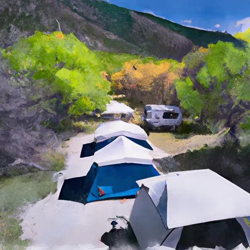 Salida East
|
||
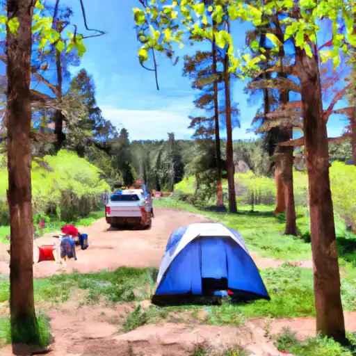 Rincon - Arkansas Headwaters State Rec Area
|
||
 Point Barr
|
||
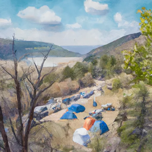 Hecla Junction
|
||
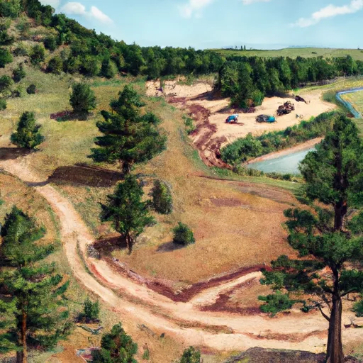 Hecla Junction - Arkansas Headwaters State Rec Area
|
||
 Ohaver Lake
|


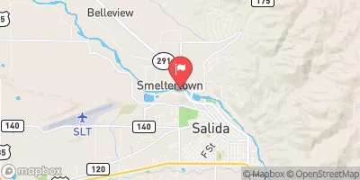
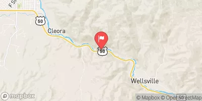
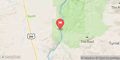
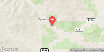
 AHRA - Salida East Rec Site
 AHRA - Big Bend Rec Site
 Road 191 Chaffee County
 AHRA - Stone Bridge Rec Site
 AHRA - Point Bar Rec Site
 Salida to Rincon
 Salida Whitewater Park
 Arkansas River Segment 3
 Salida Town Run (Stone Bridge to Salida WW Park)
 Pass Creek
 Frantz Lake SWA
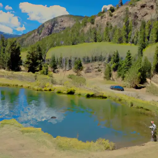 Riverside Ponds (Mt. Ouray SWA)
 O`Haver Lake