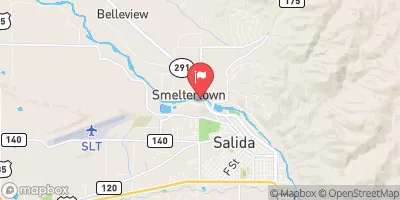
Salida Town Run (Stone Bridge To Salida Ww Park)
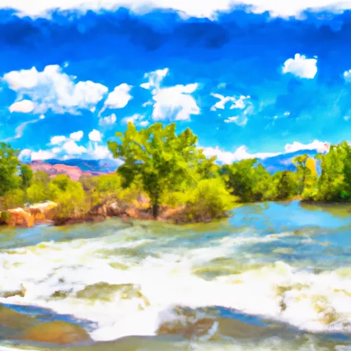
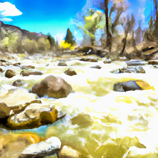
If you are looking for a longer run that ends in some of the best play waves in the country then this is for you. This section has some rapids and flatwater above the town that is good for beginners to lose their training wheels. See the Salida Whitewater Park on the river listings for info about that.
Suggested river levels for paddling this section of the Arkansas River are between a bare minimum of 500cfs and a high of 4,000cfs.
River conditions sourced from USGS 07087050, the Arkansas River Below Granite
Remember only watercraft are permitted
at Salida Town Run (Stone Bridge to Salida WW Park).
Run Stats
Status | Too Low |
Class Level | II to III |
Elevation | 8,629 ft |
Run Length | 12.0 Mi |
Streamflow Discharge | 233 cfs |
Gage Height | 3.7 ft |
Air Temperature | 53° |
River | Arkansas River |
Reporting Streamgage |
Arkansas River Below Granite
USGS 07087050 |
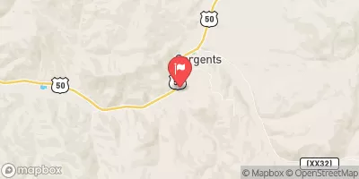
Squaw Creek Rapid
Class II+ to III |
Shavano Hatchery low-head dam
Class III |
Gauge | Streamflow | Stage |
---|---|---|
Twin-Lakes Tunnel At E Portl
USGS 09073000 |
12 cfs | 0.4 ft |
North Crestone Creek Near Crestone
USGS 08227500 |
8 cfs | 0.9 ft |
Ef Arkansas R At Us Hiway 24
USGS 07079300 |
13 cfs | 2.6 ft |
South Fork Rio Grande At South Fork
USGS 08219500 |
281 cfs | 2.7 ft |
Carnero Creek Near La Garita
USGS 08230500 |
18 cfs | 2.4 ft |
North Fork Fryingpan River Near Norrie
USGS 09078500 |
6 cfs | 2.3 ft |
Clear Creek Above Clear Creek Reservoir
USGS 07086500 |
-999 cfs | -1.2 ft |
Columbine Ditch Near Fremont Pass
USGS 09061500 |
-999 cfs | -3.5 ft |
Homestake Creek At Gold Park
USGS 09064000 |
5 cfs | 4.0 ft |
Ewing Ditch At Tennessee Pass
USGS 09062000 |
-999 cfs | -0.7 ft |
Snotel Site | Snowpack | 24hr Change |
---|---|---|
Lynx Pass
SNOTEL 607 |
18" | -2" |
Buffalo Park
SNOTEL 913 |
34" | -1" |
Hopewell
SNOTEL 532 |
34" | -2" |
Berthoud Summit
SNOTEL 335 |
54" | -2" |
Fremont Pass
SNOTEL 485 |
47" | 0" |
climax coop
SNOTEL CLXC2 |
34.33" | -0.77" |
Kiln
SNOTEL 556 |
25" | -2" |
Echo Lake
SNOTEL 936 |
28" | -1" |
Nast Lake
SNOTEL 658 |
11" | -2" |
vail 3.5 e, co
SNOTEL CO-EG-53 |
20.25" | -0.79" |
Lake Eldora
SNOTEL 564 |
30" | -1" |
Porphyry Creek
SNOTEL 701 |
35" | -2" |
tabernash 2.7 nw, co
SNOTEL CO-GR-68 |
2.18" | -0.74" |
Sargents Mesa
SNOTEL 1128 |
39" | -1" |
High Lonesome
SNOTEL 1187 |
46" | -1" |
Never Summer
SNOTEL 1031 |
44" | -1" |
Mccoy Park
SNOTEL 1040 |
22" | -3" |
Middle Fork Camp
SNOTEL 1014 |
21" | -2" |
Buckskin Joe
SNOTEL 938 |
28" | 0" |
Independence Pass
SNOTEL 542 |
39" | -1" |
Elliot Ridge
SNOTEL 1120 |
46" | 0" |
Beaver Ck Village
SNOTEL 1041 |
18" | -1" |
frisco 0.5 n, co
SNOTEL CO-SU-4 |
2.52" | -1.29" |
Fool Creek
SNOTEL 1186 |
50" | -2" |
Rough And Tumble
SNOTEL 939 |
28" | -1" |
Ivanhoe
SNOTEL 547 |
46" | 0" |
Sawtooth
SNOTEL 1251 |
55" | -1" |
silverthorne 2.1 wsw, co
SNOTEL CO-SU-6 |
13.77" | -0.87" |
Summit Ranch
SNOTEL 802 |
19" | -1" |
Columbine
SNOTEL 408 |
39" | -2" |
Lily Pond
SNOTEL 580 |
28" | -2" |
Vail Mountain
SNOTEL 842 |
31" | -1" |
Willow Creek Pass
SNOTEL 869 |
38" | 1" |
Willow Park
SNOTEL 870 |
48" | -2" |
Loveland Basin
SNOTEL 602 |
53" | 0" |
South Colony
SNOTEL 773 |
53" | -2" |
Jackwhacker Gulch
SNOTEL 935 |
33" | -1" |
Brumley
SNOTEL 369 |
35" | -1" |
San Antonio Sink
SNOTEL 1172 |
2" | -2" |
Grayback
SNOTEL 1058 |
12" | -1" |
Stillwater Creek
SNOTEL 793 |
1" | -1" |
Grizzly Peak
SNOTEL 505 |
40" | -2" |
rollinsville 1.1 ssw, co
SNOTEL CO-GL-17 |
10.42" | -1.24" |
Cumbres Trestle
SNOTEL 431 |
52" | -2" |
Hayden Pass
SNOTEL 1102 |
36" | -2" |
Wild Basin
SNOTEL 1042 |
39" | 2" |
Arapaho Ridge
SNOTEL 1030 |
54" | -1" |
cabin creek
SNOTEL GCRC2 |
13.79" | -0.8" |
Moon Pass
SNOTEL 1124 |
20" | 0" |
Park Cone
SNOTEL 680 |
27" | -1" |
Lake Irene
SNOTEL 565 |
61" | -2" |
Jones Pass
SNOTEL 970 |
38" | -2" |
Niwot
SNOTEL 663 |
33" | -1" |
Chamita
SNOTEL 394 |
7" | -2" |
Chapman Tunnel
SNOTEL 1101 |
32" | -1" |
pitkin 1.1 sw, co
SNOTEL CO-GN-59 |
2.17" | -1.29" |
Saint Elmo
SNOTEL 1100 |
25" | -1" |
Copper Mountain
SNOTEL 415 |
32" | -1" |
fairplay 2.7 wnw, co
SNOTEL CO-PK-15 |
18.93" | -0.64" |
Phantom Valley
SNOTEL 688 |
19" | -2" |
Hoosier Pass
SNOTEL 531 |
39" | -2" |
Cochetopa Pass
SNOTEL 1059 |
9" | -2" |
Bear Lake
SNOTEL 322 |
44" | -1" |
Campground | Campsites | Reservations | Toilets | Showers | Elevation |
---|---|---|---|---|---|
Buffalo Springs | 18 | 9,187 ft | |||
Weston Pass | 14 | 10,277 ft | |||
Hecla Junction - Arkansas Headwaters State Rec Area | None | 7,415 ft | |||
Ruby Mountain - Arkansas Headwaters State Rec Area | None | 7,651 ft | |||
Ohaver Lake | 35 | 9,218 ft | |||
Railroad Bridge - Arkansas Headwaters State Rec Area | None | 8,039 ft | |||
Angel of Shavano | 20 | 9,147 ft |
Ski Area | Snowpack | Air Temperature | 5 Day Forecast |
---|---|---|---|
Ski Cooper | 28" | 42° | 9.32" |
Monarch Ski & Snowboard Area | 35" | 39° | 6.43" |
River Run | Streamflow | Length | Class |
---|---|---|---|
Clear Creek of the Arkansas | 15.0cfs | 2.5 Mi | IV+ to V- |
Pine Creek (Granite to Numbers) | 233.0cfs | 6.0 Mi | III+ to V- |
Salida Whitewater Park | 233.0cfs | None Mi | III- to III+ |
Browns Canyon (Fisherman's Bridge to Stone Bridge) | 233.0cfs | 13.0 Mi | III to IV- |
Fractions | 233.0cfs | 7.0 Mi | III to III+ |
Salida Town Run (Stone Bridge to Salida WW Park) | 233.0cfs | 12.0 Mi | II to III |
Salida to Rincon | 233.0cfs | 10.0 Mi | II+ to III |
Numbers | 233.0cfs | 4.9 Mi | III+ to IV+ |
Buena Vista Whitewater Park | 233.0cfs | 1.0 Mi | II+ to III+ |
Milk Run | 233.0cfs | 4.0 Mi | II+ to III- |