

Summary
It is possible that the name has been changed or that the ramp no longer exists.
However, there are several boat ramps in Kent, Washington that service different bodies of water and have varying regulations for permitted watercraft. For example, the Lake Meridian Park Boat Launch is located on the eastern shore of Lake Meridian and is open to non-motorized and electric-motorized boats. The ramp is 25 feet wide and has a maximum parking capacity of 25 vehicles.
Another boat ramp in Kent is the Russell Road Boat Launch, located on the Green River. This ramp is open to motorized and non-motorized boats and has a maximum parking capacity of 30 vehicles.
It is important to always check the latest information and regulations for any boat ramp before launching a watercraft. This can typically be found on the website of the governing authority for the body of water, such as the Washington Department of Fish and Wildlife or a local parks and recreation department.
15-Day Long Term Forecast
 148th Avenue Southeast Kent
5-Day Hourly Forecast Detail
Area Streamflow Levels
River Runs
-
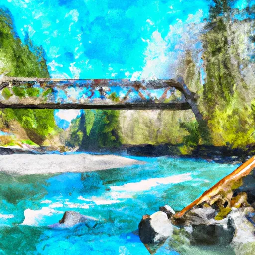
 Snoqualmie Falls to Plum's Landing
-
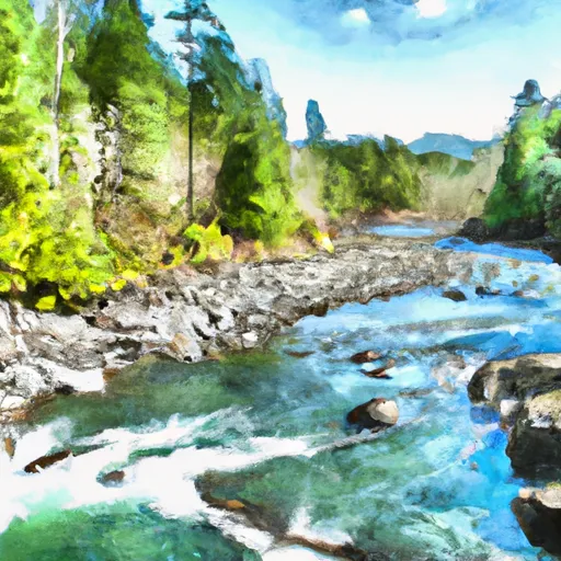
 Wagner Bridge To Confluence With Middle Fork Snoqualmie River
-
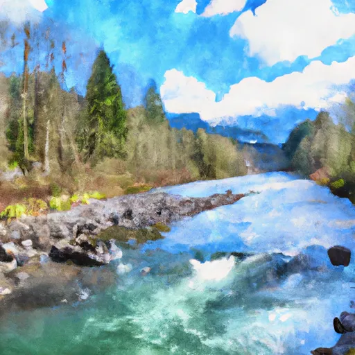
 Confluence With Taylor River To Confluence With North Fork Snoqualmie River
-
 Huckleberry Creek To Confluence With Clearwater River
-
 Confluence With Ipsut Creek To Western Boundary Of Mount Rainier National Park
-
 Quartz Road To Confluence With Middle Fork Snoqualmie River