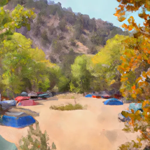
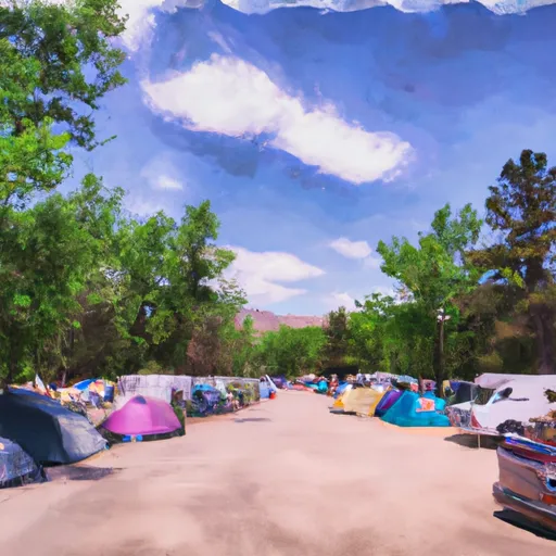
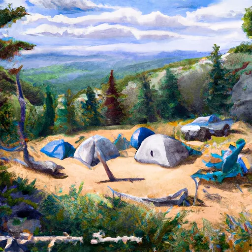
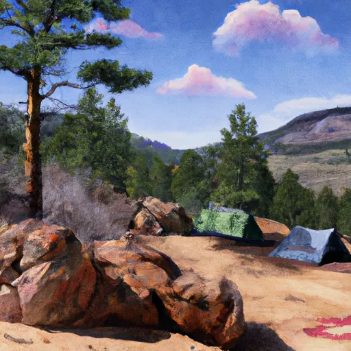
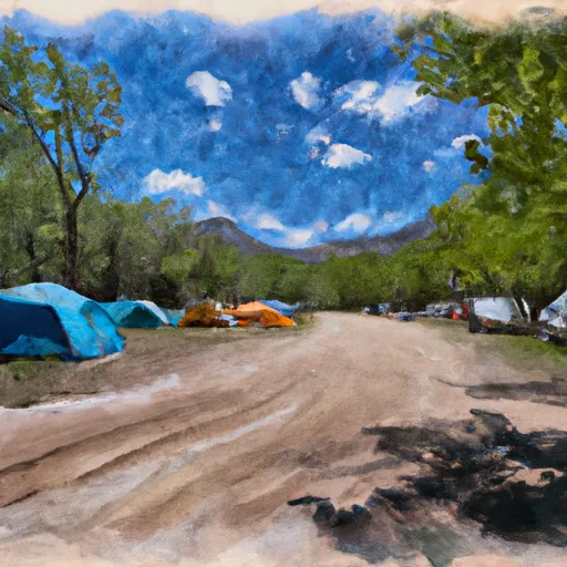
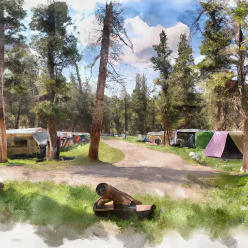
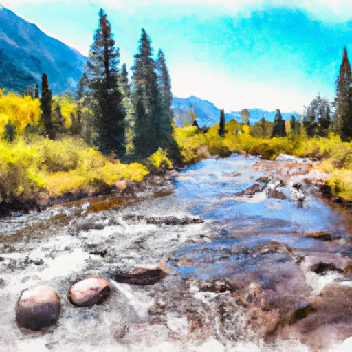
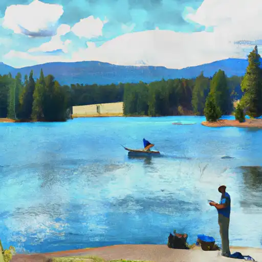
Gold Park
Air Quality: Good
This camping area features
11
first come first serve
campsites perched at an elevation of
9246ft in the state of Colorado.
If you're headed here today, be sure to check out
travel times and driving directions
before you go.
High altitude campgrounds like this one can get very cold at night, even during the warm summer months. Remember to pack accordingly.
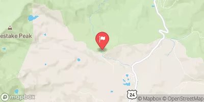
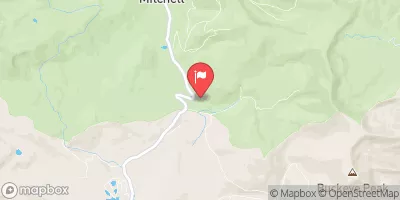
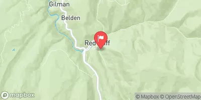
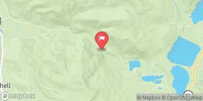
Visitors may find numerous amenities toilets, clean potable drinking water, and a comfy place to pitch a tent. The surrounding area also offers outdoor enthusiasts the simple pleasure of being outside. Check out the map above to view nearby river levels, or head to the interactive map to explore the surrounding area.
Toilets |
Yes |
Dump |
No |
Reservations |
No |
Showers |
No |
Drinking-Water |
Yes |
Hookups |
No |
Get Unlimited Access with Snoflo Premium
Know before you go with climate maps, insightful analytics, weather forecasts and more!
Weather Forecast
Areas of Interest
Holy Cross City Jeep Road #759HikingDirections |
This extreme road starts off Homestake Road #703 and ends at Holy Cross City historic site. This is one of the more difficult and popular roads in the state. It is recommended to consult a 4-wheel drive guide book for a detailed description of this route and recommended vehilce specs. Stock vehicles should not attempt this one.Click here to see a Recreation Quicksheet for this road, complete with directions, description, map, and more. |
Resolution Road #702Auto TouringDirections |
This dirt road starts at Camp Hale and ends at Ptarmigan Pass: This is an easy graded road to the top of Ptarmigan Pass which is wide and flat. There are wonderful panoramic views here and you may also notice remnants of old buildings and saw mills in this area (they are old saw mills that operated near the turn of the century, and supplied many of the ranches and farms in this area with building supplies). There is room to turn around here and return the way you came.Click here to see a Recreation Quicksheet for this road, complete with directions, description, map, and more. |
Ski Cooper Alpine Ski AreaWinter SportsDirections |
Ski Cooper, located atop Tennessee Pass 10 miles north of Leadville on U.S. 24, is a unique and affordable alpine ski area for the whole family. Five lifts serve 26 runs on 400 acres with slightly more intermediate than beginner or expert terrain. The longest run is 1.4 miles. The base sits at an elevation of 10,500 feet, with the summit at 11,700 feet. Ski Cooper averages 250 inches of natural snowfall a year and hosts a variety of fun-filled events throughout the winter season.Ski Cooper also includes a terrain park with seven different features, short lift lines anda variety ofruns. The base facilities include the Ski and Snowboard School which offers alpine, telemark and snowboard instruction; a day lodge with guest services, ticket offices, first-aid room, restaurant and bar; a ski rental shop; the Children's Center, featuring a children's ski school, rental equipment and day care for children ages 2-8; the Tennessee Pass Nordic Center with rental equipment for cross-country skiing, telemarking, and snowshoeing, and the Tennessee Pass Cookhouse.Ski Cooper Stats:Vertical drop: 1,200 feet;Acres: 400;2,400 acres of snowcat skiing on Chicago Ridge;Lifts:5- 1 double, 1 triple, 3 surface lifts;26 runs: 30% beginner, 40% intermediate, 30% advanced;Annual Snowfall: 250 inches. |
Lady of the Lake Picnic AreaPicnickingDirections |
Located on the north shore line of Turquoise Lake. |
Matchless CampgroundRecreational VehiclesDirections |
Located on the eastern shore of Turquoise Lake, Matchless Campground accomodates larger recreational vehicles.Facilities include restrooms, potable water, picnic tables, and pedestal grills. This campground is adjacent to the boat ramp and parking areas.Itis named after one of the profitable silver mines in Leadville that made Horace A.W. Tabor one of the riches men in America. |
Maid of Erin Picnic AreaHikingDirections |
Located next to the Matchless boat rampon the easternshore ofTurquoise Lake, Maid of Erinis a beautiful area to enjoy a picnic with friends and family. Facilities include picnic tables, pedestal grills, fire rings, potable water, and flush toilets. You can also access the Turquoise Lake Nature Trail from this site for a leisurely walk around the lake. |
Buckeye GulchBikingDirections |
Approximately 2 miles, this road that can be walked, biked or driven. The section of the roadthat can be driven with a 4WD vehiclebegins 4.5 miles north of Leadville on Colorado Hwy91 and ends on a hiking trail about 1/4 mile before the lake. The first part of this road crosses private land. Please stay on the roadway and be respectful of private property. |
Mount Of The Holy Cross Overlook Observation SiteAuto TouringDirections |
This observation deck, also known as Julia's Deck, is accessed by an easy 1/8 mile accessible trail. It provides views of the Mount of the Holy Cross and is often reserved for wedding ceremonies. The small wooden deck has 3 benches for seating and can hold approximately 30 people. The parking area can hold up to 10 vehicles and has a vault toilet. Call the Holy Cross Ranger District to reserve a 2-3 hour time slot during the summer months.Click here for a photo gallery. |
Shrine Pass Road #709Auto TouringDirections |
This dirt road starts at Vail Pass and ends at the town of Redcliff. It can be traveled in either direction, but for biking it is much easier starting at Vail Pass. This dirt road is passable by all but the lowest passenger cars and is relatively easy for mountain bikers. It offers views of Mount of the Holy Cross in the Sawatch Range, access to the Shrine Mountain Trail, and access to the short, accessible trail to "Julia's Deck."Click here to see a Recreation Quicksheet for this road, complete with directions, description, map, and more. |
Yeoman Park Day Use AreaAuto TouringDirections |
The Yeoman Park Day Use Area is set in a picturesque open meadow alongside East Brush Creek near the Yeoman Park Campground. The site has a fishing platform and serves as a trailhead for the easy Brown's Loop interpretive trail. As listed in the Colorado Wildlife Viewing Guide, Yeoman Park is also a good place to view an extensive beaver colony. |
Crowley PointSummitDirections |
Named for Claude H. Crowley (1887-1977), lifetime area resident, rancher, and logger. |
Nature Discovery Center atop Vail MountainInterpretive ProgramsDirections |
Located in an all-seasons yurt adjacent to the Eagles Nest gondola atop Vail Mountain, the Nature Discovery Center has provided the visiting public with meaningful access to the wonders of the natural world since opening its doors in 2000. The mountain top nature center is open during the winter and summer seasons and features an array of natural history exhibits and artifacts related to Vail Mountain life zones. The Discovery Center also provides a variety of environmental education and interpretive programs led by trained naturalists. During the winter season, Vail ski school students visit the Discovery Center as part of the ski school's SKE-Cology program, which educates youth about mountain safety and mountain ecology. In winter and summer naturalists lead snowshoe tours and nature hikes that explore the subalpine habitat atop Vail Mountain. Naturalists also assist walk-in visitors and provide environmental education programs to Eagle County youth. The Nature Discovery Center is a partnership between Vail Resorts, Walking Mountains Science Center and the White River National Forest, and is operated by the Walking Mountains Science Center. Visit walkingmountains.org for more information. |
Mount MassiveSummitDirections |
Named by Henry Gannett in 1873 as part of the HaydenSurvey. (CO-T4/070694/p3D) |
Davos Hill Climb #781BikingDirections |
This wide dirt trail begins at Cortina Lane and ends at a radio tower with views of the mountains to the southwest. It is rocky and rutted in sections with a constant elevation gain and a few short steep sections as it passes through aspens and open meadows with views of Dowd Junction. The ride ends at a radio tower with views of Mount of the Holy Cross and Meadow Mountain. Descend the same route. |
Crystal Lake OverlookWildlife ViewingDirections |
Located just off U.S.Hwy 24, south of Leadville at the Arkansas River Headwaters, the overlook provides gorgeous views of the highest peak in Colorado, Mt. Elbert. |
Kuss PeakSummitDirections |
The name honors Adolph Kuss (1909-2002), who served on the Leadville City Council, the Lake County Commission, and the St. Vincents Hospital Board; he was also actively involved in the construction of the Mount Massive Golf Course, and was the first manager of Cooper Hill ski resort. |
Vail Ski ResortBikingDirections |
Vail is an alpine and cross-country ski resort that also offers summer activities of all sorts. |
Red Sandstone Road #700Auto TouringDirections |
This dirt road begins at the paved Red Sandstone Road near Vail and ends at either Piney Lake or Hwy 131 north of Wolcott: This road gets heavy vehicle traffic and also a fair number of mountain bike riders, so please share the road. The climb is gradual and steady, and all but the very lowest of passenger cars can handle this relatively easy dirt road. The road winds its way up along Red Sandstone Creek and then Indian Creek with occasional views south over Vail Mountain, before reaching its high point near the trailhead for Lost Lake Trail. Here you can choose to head west toward Muddy Pass and Hwy 131, or head toward Piney Lake as your destination. Enjoy the peace and beauty here or take a hike up the Upper Piney River Trail, but remember that the lake is surrounded by the Eagles Nest Wilderness and is closed to bikes. |
Vail Pass / Tenmile Canyon National Recreation TraBikingDirections |
The Vail Pass / Tenmile Canyon National Recreation Trail begins at Gore Creek Campground and ends at Copper Mtn: This paved trail starts where Bighorn Road ends, follows what used to be old Highway 6 over Vail Pass, and then descends to Copper Mountain. It is a popular biking trail, so be careful to stay on the right side of the trail as bikers descend toward you. |
Popular Destinations
Campground | Campsites | Reservations | Toilets | Showers | Elevation |
---|---|---|---|---|---|
Blodgett | 6 | 8,836 ft | |||
Lakeview - Twin Lakes | 27 | 9,511 ft | |||
Dexter | 24 | 9,271 ft | |||
Gold Park | 11 | 9,246 ft | |||
Father Dyer | 26 | 9,953 ft | |||
Belle of Colorado | 19 | 9,924 ft | |||
Elliott Creek | 15 | 8,018 ft | |||
Hornsilver | 7 | 8,843 ft | |||
Halfmoon | 7 | 10,294 ft | |||
Cataract Creek | 5 | 8,578 ft | |||
Baby Doe | 50 | 9,913 ft | |||
Molly Brown | 49 | 9,897 ft | |||
Tabor | 44 | 9,897 ft | |||
Silver Dollar | 43 | 9,905 ft | |||
Twin Peaks | 37 | 9,615 ft | |||
Halfmoon West | 16 | 9,932 ft | |||
Willows | 35 | 7,973 ft | |||
Parry Peak | 26 | 9,430 ft | |||
Tigiwon | 9 | 9,994 ft | |||
Elbert Creek | 17 | 10,095 ft | |||
Camp Hale Memorial | 21 | 9,318 ft | |||
Halfmoon East | 6 | 9,923 ft | |||
Mayqueen | 27 | 9,884 ft | |||
White Star | 66 | 9,256 ft | |||
Matchless | 17 | 9,903 ft |
Ski Area | Snowpack | Air Temperature | 5 Day Forecast |
---|---|---|---|
Beaver Creek Resort | 65" | 26° | 4.33" |
Ski Cooper | 31" | 17° | 1.19" |
Vail | 65" | 17° | 3.78" |
Copper Mountain Resort | 52" | 17° | 2.24" |
Location | Fish Habitat | Craft Restrictions |
---|---|---|
Crystal Lakes | Brook Trout, Cutthroat Trout, Rainbow Trout | Non Motorized Hand-Launch |
Green Mountain Reservoir | Brown Trout, Cutthroat Trout, Kokanee | None |
Spring Creek Reservoir | Brook Trout, Brown Trout, Rainbow Trout | None |
Cottonwood Lake (Buena Vista) | Brook Trout, Brown Trout, Cutthroat Trout | |
Taylor Park Reservoir | Northern Pike, Sockeye Salmon, Brown Trout, Rainbow Trout | |
Mirror Lake (Almont) | Brook Trout, Brown Trout, Rainbow Trout | All Boats Allowed |
Lost Man Reservoir | ||
Williams Fork Reservoir | Brown Trout, Kokanee, Lake Trout | Non Motorized Hand-Launch |
South Fork Clear Creek | ||
Grizzly Reservoir | ||
Kiln Creek | Brook Trout | |
Clear Creek Reservoir | Tiger Muskellunge, Brown Trout, Cutthroat Trout, Rainbow Trout | |
Homestake Reservoir | Brook Trout, Cutthroat Trout, Rainbow Trout | HP Restricted |
Hayden Meadows Reservoir | Rainbow Trout | Electric Motors Only |
Cottonwood Lake | ||
Mount Elbert Forebay | Brown Trout, Cutthroat Trout, Lake Trout | |
Wolford Mountain Reservoir | Brown Trout, Cutbow Trout, Cutthroat Trout | All Boats Allowed |
Upper Cataract Lake | Brook Trout, Rainbow Trout | Non Motorized Hand-Launch |
Lower Cataract Lake | Brook Trout, Brown Trout, Rainbow Trout | None |
Black Lakes (Vail) | Rainbow Trout | Non Motorized Hand-Launch |
Turquoise Lake | Brown Trout, Cutthroat Trout, Lake Trout | Electric Motors Only |
Nottingham Lake | Cutthroat Trout, Rainbow Trout | All Boats Allowed |
Nearby Snowpack and Streamflow Levels
Streamflow and snowpack data for the watershed
Gauge | Streamflow | Stage |
---|---|---|
Taylor River At Taylor Park
USGS 09107000 |
51 cfs | 1.2 ft |
Taylor River Below Taylor Park Reservoir
USGS 09109000 |
86 cfs | 3.4 ft |
Arkansas River At Granite
USGS 07086000 |
145 cfs | 2.6 ft |
Williams Fork Below Williams Fork Reservoir
USGS 09038500 |
50 cfs | 1.2 ft |
Snake River Near Montezuma
USGS 09047500 |
38 cfs | 1.4 ft |
Walton Creek Near Steamboat Springs
USGS 09238500 |
8 cfs | 0.4 ft |
Blue River Below Dillon
USGS 09050700 |
91 cfs | 1.0 ft |
Beaver Creek At Avon
USGS 09067000 |
8 cfs | 2.0 ft |
Taylor River At Almont
USGS 09110000 |
135 cfs | 1.5 ft |
North Fork Fryingpan River Near Norrie
USGS 09078500 |
20 cfs | 2.7 ft |
Snotel Site | Snowpack | 24hr Change |
---|---|---|
Rabbit Ears
SNOTEL 709 |
88" | 2" |
Whiskey Park
SNOTEL 859 |
116" | 0" |
Copper Mountain
SNOTEL 415 |
52" | -2" |
Moon Pass
SNOTEL 1124 |
26" | 4" |
Middle Fork Camp
SNOTEL 1014 |
49" | 1" |
Arapaho Ridge
SNOTEL 1030 |
89" | -2" |
Rawah
SNOTEL 1032 |
51" | -2" |
Upper Taylor
SNOTEL 1141 |
74" | -1" |
Schofield Pass
SNOTEL 737 |
141" | -5" |
Grizzly Peak
SNOTEL 505 |
60" | 0" |
Willow Creek Pass
SNOTEL 869 |
63" | -1" |
Loveland Basin
SNOTEL 602 |
64" | 0" |
Kiln
SNOTEL 556 |
52" | -1" |
Summit Ranch
SNOTEL 802 |
51" | -2" |
Hoosier Pass
SNOTEL 531 |
52" | 0" |
Rough And Tumble
SNOTEL 939 |
20" | -1" |
Chapman Tunnel
SNOTEL 1101 |
57" | -1" |
Phantom Valley
SNOTEL 688 |
49" | -2" |
Bear River
SNOTEL 1061 |
47" | -1" |
Stillwater Creek
SNOTEL 793 |
39" | 1" |
Vail Mountain
SNOTEL 842 |
65" | -1" |
Tower
SNOTEL 825 |
147" | 0" |
Porphyry Creek
SNOTEL 701 |
67" | 0" |
Elk River
SNOTEL 467 |
82" | -1" |
Hayden Pass
SNOTEL 1102 |
30" | 2" |
Crosho
SNOTEL 426 |
60" | -1" |
Dry Lake
SNOTEL 457 |
90" | -1" |
Buffalo Park
SNOTEL 913 |
59" | 0" |
Webber Springs
SNOTEL 852 |
94" | 0" |
Park Cone
SNOTEL 680 |
57" | -1" |
Old Battle
SNOTEL 673 |
130" | -2" |
Cochetopa Pass
SNOTEL 1059 |
25" | -1" |
Middle Creek
SNOTEL 624 |
78" | -2" |
Elliot Ridge
SNOTEL 1120 |
76" | -3" |
Brumley
SNOTEL 369 |
47" | -1" |
Fremont Pass
SNOTEL 485 |
59" | -1" |
Lynx Pass
SNOTEL 607 |
49" | 0" |
Mccoy Park
SNOTEL 1040 |
65" | -2" |
Beaver Ck Village
SNOTEL 1041 |
53" | -2" |
Independence Pass
SNOTEL 542 |
62" | -1" |
Ivanhoe
SNOTEL 547 |
61" | -1" |
Joe Wright
SNOTEL 551 |
79" | -5" |
Buckskin Joe
SNOTEL 938 |
31" | 0" |
Zirkel
SNOTEL 1033 |
91" | -2" |
Jones Pass
SNOTEL 970 |
57" | -1" |
Saint Elmo
SNOTEL 1100 |
53" | -2" |
Roach
SNOTEL 718 |
63" | -3" |
Blackhall Mtn
SNOTEL 1119 |
111" | -2" |