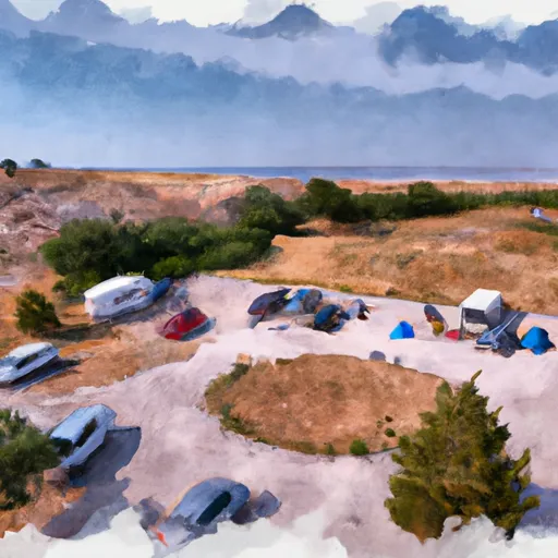
East Table Campground Campground
Community Reviews
Been here? Share the conditions.
Reviews, ratings & photos are added in the free Snoflo iOS app — rate a spot, tag the conditions, and your visit is verified by location. Add or manage your reviews from the app.
East Table Campground
What's on-site at East Table Campground
Key facilities Snoflo tracks for this campground. Confirm with the operator before booking -- amenities can change seasonally.
Plan your trip down to the hour
Same weather feed Snoflo's iOS app uses -- updated continuously from NOAA / yr.no.
Next 5 days, hour by hour
Temperature line with weather symbols on top, snow + rain accumulation as columns, humidity as a dotted line.
5-day forecast table
Every 3 hours, broken out across temperature, snow, rain, humidity, and wind. Each cell is colour-coded relative to the column min/max so trends jump out at a glance.
| Time | Condition | Temp (°F) | Snow (in) | Rain (in) | Humidity (%) | Wind (mps) | Wind dir |
|---|---|---|---|---|---|---|---|
| Loading detailed forecast… | |||||||
15-day temperature & precipitation
Daily temperatures, snow, and rain projected over the next two weeks. Hover any point for the full breakdown.
Other campgrounds in the area
Snoflo-tracked campsites within driving distance of East Table Campground, with reservations status.
| Campground | Reservations | Toilets | View |
|---|---|---|---|
| East Table Group Campground | ✗ | ✗ | → |
| East Table Creek | ✗ | ✓ | → |
| Elbow | ✗ | ✓ | → |
| Station Creek | ✓ | ✓ | → |
| Station Creek Group Campground | ✓ | ✗ | → |
Nearby streamflow
USGS streamgauges within reach of East Table Campground -- pulled live from the National Water Information System.
| Streamgauge | Discharge | View |
|---|---|---|
| Snake River Ab Reservoir Nr Alpine Wy | 7,170 cfs | → |
| Greys River Ab Reservoir Nr Alpine Wy | 387 cfs | → |
| Snake River Bl Flat Creek Nr Jackson Wy | 6,590 cfs | → |
| Salt River Ab Reservoir Nr Etna Wy | 339 cfs | → |
| Flat Creek Bel Cache Creek | 168 cfs | → |
| Cache Creek Near Jackson | 14 cfs | → |
Nearby snow depths
NRCS SNOTEL stations within reach of East Table Campground -- relevant when planning a shoulder-season or alpine trip.
| SNOTEL station | Snowpack | 24h Snowfall | View |
|---|---|---|---|
| Snake River | 0.0 in | 0.0 in | → |
| Hoback River Canyon Snow Study | 4.0 in | 0.2 in | → |
| Alpine 5.9 S | 0.0 in | 0.0 in | → |
| Mount Baird - Snow | 11.0 in | 0.0 in | → |
| Jackson - Coop | 0.0 in | 0.0 in | → |
| Star Valley Ranch 1.0 S | 0.0 in | 0.0 in | → |
Plan a longer trip
The closest parks, lakes, boat launches, and paddle runs so a camping night can grow into a full weekend.
Parks
- National Wild And Scenic River Snake River Headwaters, Wyoming
- Powderhorn Park
- Phil Baux Park
- Mateosky Park
- Karns Meadow Park
- Mike Yokel Park
Boat launches
- East Table Boating Site
- West Table Boating Site
- Snake River
- Taco Hole Kayak Access
- King's Wave Kayak Access
- Sheep Gulch Boating Site
Fishing spots
- Elbow Boating Site
- Pritchard Boating Site
- Astoria Boating Site
- Palisades Reservoir
- Jenny Lake
- New Fork Lake
Points of interest
- Lunch Counter/Kahuna Overlook
- State Historic Marker - Trappers Guide
- Historical Baker Cabin
- State Historic Marker
- Jackson/Teton County Housing Authority
- Antler Arch
Paddle runs
- Alpine Canyon (West Table To Sheep Gulch)
- Astoria To West Table
- Narrows
- Lower Greys (Squaw Creek To Bridge Campground)
- Upper Greys (Lynx Creek To Little Greys)
- South Park Bridge To 1 Mile Downstream From Astoria Hot Springs (North Section Line Of Sec 5, T38n, R116w)
Camping essentials & Leave No Trace
- Pack it in, pack it out
- Take all trash, food scraps, and gear back with you to keep campsites clean and protect wildlife.
- Respect wildlife
- Observe animals from a distance, store food securely, and never feed wildlife to maintain natural behavior and safety.
- Know before you go
- Check weather, fire restrictions, trail conditions, and permit requirements to ensure a safe and well-planned trip.
- Minimize campfire impact
- Use established fire rings, keep fires small, fully extinguish them, or opt for a camp stove when fires are restricted.
- Leave what you find
- Preserve natural and cultural features by avoiding removal of plants, rocks, artifacts, or other elements of the environment.
Set push alerts in the Snoflo app
Save East Table Campground as a favorite, set a custom threshold (precipitation, snowpack, freezing temperatures), and the iOS app will push the moment conditions cross.
About East Table Campground
Can I make reservations at East Table Campground?
Yes -- this campground accepts reservations. Snoflo recommends booking early for peak season; check the operator (Recreation.gov / state park system / private operator) for the booking window and cancellation policy.
How fresh is the weather data on this page?
The hourly forecast updates throughout the day from the NOAA / yr.no public feeds. Streamflow data is pulled live from USGS streamgauges and snowpack from the NRCS SNOTEL network.
What's the best time of year to visit?
Use the 15-day temperature & precipitation outlook on this page to plan -- pick a window with comfortable temperatures and low precipitation. For longer trips, the 5-day hourly meteogram shows snow + rain accumulation hour-by-hour.
How do I get to East Table Campground?
Tap Directions in the hero above to open driving directions in Google Maps, or Open in map to center the Snoflo interactive map on the campground.
Can I get alerts when conditions change?
Yes -- alerts are managed through the Snoflo iOS app. Favorite this campground, set a threshold (temperature, snowpack, precipitation), and you'll get a push the moment it crosses.
Other campgrounds near here
Snoflo-tracked campgrounds within driving distance of East Table Campground.