

-
 Snoflo Premium
Get unlimited access to all our content
With no Ad interruptions! - Start Your Free Trial Login with existing account
Cold-Springs
Eden Index
Climate
10.0
•
Recreation
6.4
•
Community
2.3
•
Safeguard
6.8/10
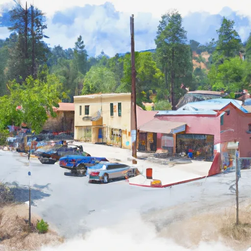
Cold Springs, California is a small community located in the foothills of the Sierra Nevada Mountains. The climate in Cold Springs is characterized by hot, dry summers and cool, wet winters. Hydrology constituents in the area include the Stanislaus River, which provides water for a variety of recreational activities such as fishing and rafting. Outdoor recreation opportunities include hiking and camping in the nearby Stanislaus National Forest, as well as skiing and snowboarding at the Dodge Ridge Ski Resort. The area is also home to a variety of wildlife, including black bears and mountain lions. Cold Springs offers a rural and scenic escape for those looking to explore the outdoors.
What is the Eden Index?
The Snoflo Eden Index serves as a comprehensive rating system for regions, evaluating their desirability through a holistic assessment of climate health, outdoor recreation opportunities, and natural disaster risk, acknowledging the profound impact of these factors on livability and well-being.
Climate Health Indicator (CHI): 10.0
Cold-Springs receives approximately
1112mm of rain per year,
with humidity levels near 61%
and air temperatures averaging around
11°C.
Cold-Springs has a plant hardyness factor of
8, meaning
plants and agriculture in this region tend to thrive here all year round.
By considering the ideal temperature range, reliable water supplies, clean air, and stable seasonal rain or snowpacks, the Climate Health Indicator (CHI) underscores the significance of a healthy climate as the foundation for quality living.
A healthy climate is paramount for ensuring a high quality of life and livability in a region, fostering both physical well-being and environmental harmony. This can be characterized by ideal temperatures, reliable access to water supplies, clean air, and consistent seasonal rain or snowpacks.
Weather Forecast
Streamflow Conditions
San Joaquin
Area Rivers
San Joaquin
Snowpack Depths
San Joaquin
Reservoir Storage Capacity
San Joaquin
Groundwater Levels
Recreational Opportunity Index (ROI): 6.4
The Recreational Opportunity Index (ROI) recognizes the value of outdoor recreational options, such as parks, hiking trails, camping sites, and fishing spots, while acknowledging that climate plays a pivotal role in ensuring the comfort and consistency of these experiences.
Access to outdoor recreational opportunities, encompassing activities such as parks, hiking, camping, and fishing, is crucial for overall well-being, and the climate plays a pivotal role in enabling and enhancing these experiences, ensuring that individuals can engage in nature-based activities comfortably and consistently.
Camping Areas
| Campground | Campsites | Reservations | Toilets | Showers | Elevation |
|---|---|---|---|---|---|
| Pardoes Point | 10 | 5,845 ft | |||
| Pacific Valley | 15 | 7,533 ft | |||
| Mokelumne River | 13 | 3,234 ft | |||
| Sugar Pine Point | 8 | 5,889 ft | |||
| South Shore | 22 | 6,017 ft | |||
| Lodgepole Overflow | 30 | 7,346 ft | |||
| Mosquito Lakes | 11 | 8,063 ft | |||
| Mokelumne | 13 | 3,240 ft | |||
| Pine Marten | 32 | 7,334 ft | |||
| Moore Creek | 8 | 3,297 ft |
Nearby Ski Areas
Catastrophe Safeguard Index (CSI):
The Catastrophe Safeguard Index (CSI) recognizes that natural disaster risk, encompassing floods, fires, hurricanes, and tornadoes, can drastically affect safety and the overall appeal of an area.
The level of natural disaster risk in a region significantly affects safety and the overall livability, with climate change amplifying these risks by potentially increasing the frequency and intensity of events like floods, fires, hurricanes, and tornadoes, thereby posing substantial challenges to community resilience and well-being.
Community Resilience Indicator (CRI): 2.3
The Community Resilience Indicator (CRI) recognizes that education, healthcare, and socioeconomics are crucial to the well-being of a region. The CRI acknowledges the profound impact of these elements on residents' overall quality of life. By evaluating educational resources, healthcare accessibility, and economic inclusivity, the index captures the essential aspects that contribute to a thriving community, fostering resident satisfaction, equity, and social cohesion.