2026-01-24T17:00:00-07:00
* WHAT...Snow expected. Total snow accumulations between 5 and 11 inches. * WHERE...The Mountains of Summit County, the Mosquito Range, and the Indian Peaks. * WHEN...From 11 AM this morning to 5 PM MST Saturday. * IMPACTS...Travel could be difficult. The hazardous conditions will impact the Friday evening and Saturday commutes, including ski traffic along the I-70 mountain corridor and US-40 over Berthoud Pass.
Summary
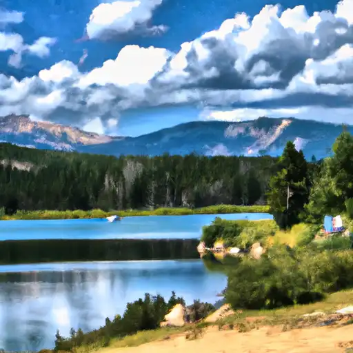
It stands at an impressive elevation of 12,498 feet, making it a popular destination for mountaineers and outdoor enthusiasts seeking a challenging ascent. The peak offers breathtaking panoramic views of the surrounding alpine landscape, with its rocky slopes and rugged terrain.
During the winter season, Ptarmigan Peak experiences a wide range of snowpack. Snow accumulation can vary greatly depending on the year and weather conditions. The snowpack provides ample opportunities for winter activities such as skiing and snowshoeing. It is important for mountaineers to be well-prepared and equipped with the necessary gear and knowledge of avalanche safety when venturing onto the mountain during the winter months.
Ptarmigan Peak is known for its picturesque creeks and rivers that receive runoff from the mountain's snowmelt. One such creek is the Ptarmigan Creek, which flows down the eastern slopes of the peak. This pristine water source adds to the beauty and allure of the area, attracting wildlife and providing a refreshing sight for hikers and campers.
The name "Ptarmigan" refers to a distinctive bird species found in high-alpine environments. These birds, known for their ability to blend into their snowy surroundings, are often spotted in the vicinity of Ptarmigan Peak. The name reflects the mountain's association with the rugged and untamed wilderness of the Rocky Mountains.
Overall, Ptarmigan Peak offers a thrilling mountaineering experience with its impressive elevation, varying snowpack, and stunning natural features. Whether tackling its challenging slopes or simply enjoying the breathtaking views, adventurers are sure to be captivated by the beauty and allure of this majestic peak.
Hourly Weather Forecast
Regional Streamflow Levels
6
Cubic Feet Per Second
20
Cubic Feet Per Second
81
Cubic Feet Per Second
8
Cubic Feet Per Second
Area Campgrounds
| Location | Reservations | Toilets |
|---|---|---|
 Weston Pass
|
||
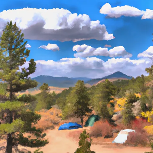 Fourmile
|
||
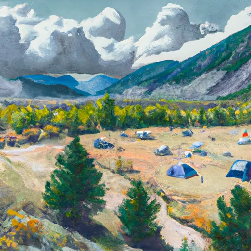 Weston Pass Campground
|
||
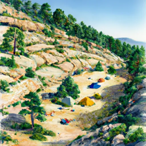 Horseshoe
|
||
 Dexter Campground
|
||
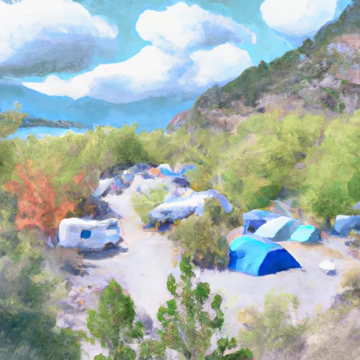 Dexter Point Campground
|

 Hayden Meadows Reservoir
 Sunnyside Fishing Site
 Crystal Lake Fishing Site
 Crystal Lakes
 Whistler Point