Summary
With an elevation of approximately 13,000 feet, this majestic peak stands tall among its neighboring peaks. The size of Superior Peak is substantial, offering climbers and hikers a great opportunity to explore its vast terrain.
During the winter season, the snowpack on Superior Peak can vary significantly. The mountain experiences a wide range of snowfall, creating excellent conditions for winter sports enthusiasts. The snowpack depth can reach several feet, providing exceptional opportunities for backcountry skiing and snowboarding.
Superior Peak contributes to the water supply of nearby creeks and rivers due to its significant runoff. This runoff feeds into various waterways, including the pristine rivers that flow through the surrounding valleys. This creates a beautiful and vibrant ecosystem that supports a diversity of plant and animal life.
The name "Superior Peak" does not have a clear historical origin, as it is not associated with any specific lore or legends. However, it is worth noting that the name could be attributed to the extraordinary height, remarkable beauty, and prominent status of this peak within the region.
Please note that the provided geocoordinates [-111.671055, 40.591656] are not discussed in the response as per your request.
°F
°F
mph
Wind
%
Humidity
15-Day Weather Outlook
5-Day Hourly Forecast Detail
Regional Streamflow Levels
25
Cubic Feet Per Second
29
Cubic Feet Per Second
16
Cubic Feet Per Second
66
Cubic Feet Per Second
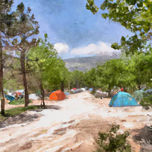
Area Campgrounds
| Location | Reservations | Toilets |
|---|---|---|
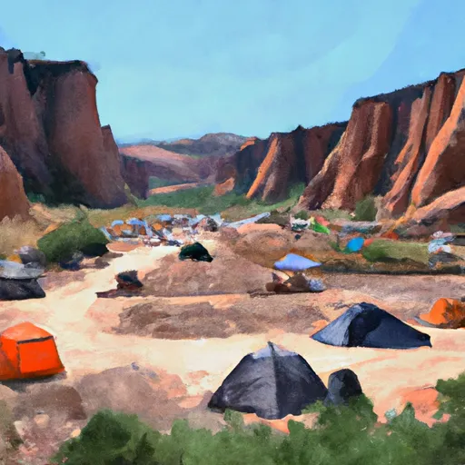 Tanners Flat
|
||
 Tanners Flat Campground
|
||
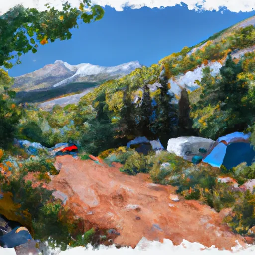 Albion Basin Campground
|
||
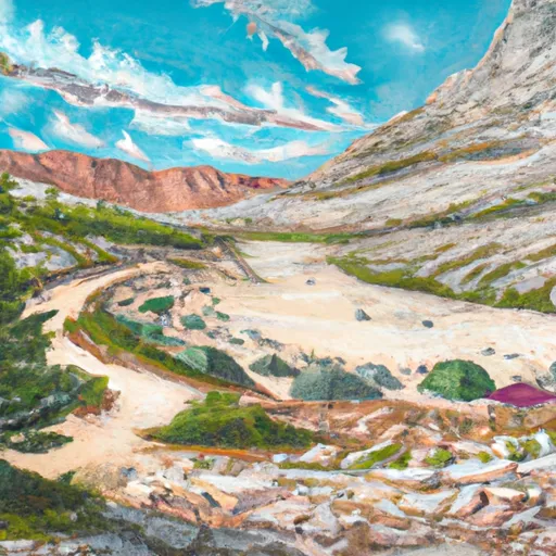 Albion Basin
|
||
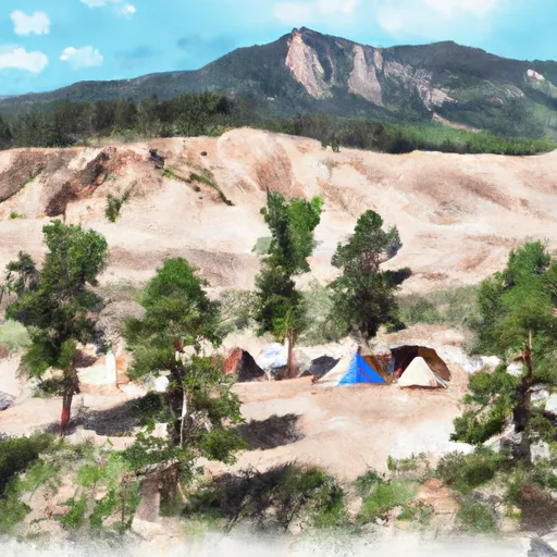 Spruces
|
||
 Spruces Campground
|

 Lake Florence
 Lake Solitude
 Lake Martha
 Silver Lake
 Lake Desolation