Summary
Standing at an elevation of approximately 9,100 feet, it offers breathtaking views of the surrounding wilderness. This awe-inspiring peak is known for its impressive size and rugged beauty, attracting adventurers and mountaineers alike.
During the winter season, Ebbetts Peak experiences a significant snowpack range, making it a popular destination for winter sports enthusiasts. With an average snowfall of 300-400 inches, the mountain offers excellent opportunities for backcountry skiing, snowboarding, and snowshoeing. Its challenging terrain and varied slopes cater to both novice and experienced winter adventurers.
Several creeks and rivers receive runoff from Ebbetts Peak, contributing to the region's water resources. The mountain's melting snow feeds into nearby streams, including the scenic Mokelumne River, which is renowned for its pristine waters and fishing opportunities.
As for the name and legends associated with Ebbetts Peak, its origin can be traced back to its namesake, Major John Ebbetts. He was a surveyor and explorer who traversed the Sierra Nevada region in the mid-19th century. Ebbetts played a significant role in mapping the area, and the peak was named in his honor. While there aren't any specific legends or lore attached to this mountain, its rich history and natural grandeur make it a captivating destination for those seeking adventure and exploration in the Pacific Ranges mountain range.
°F
°F
mph
Wind
%
Humidity
15-Day Weather Outlook
5-Day Hourly Forecast Detail
Regional Streamflow Levels
127
Cubic Feet Per Second
520
Cubic Feet Per Second
467
Cubic Feet Per Second
8
Cubic Feet Per Second
Area Campgrounds
| Location | Reservations | Toilets |
|---|---|---|
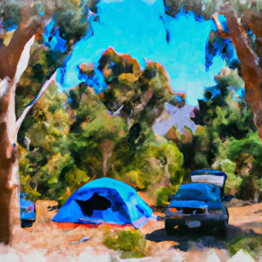 Bloomfield 2
|
||
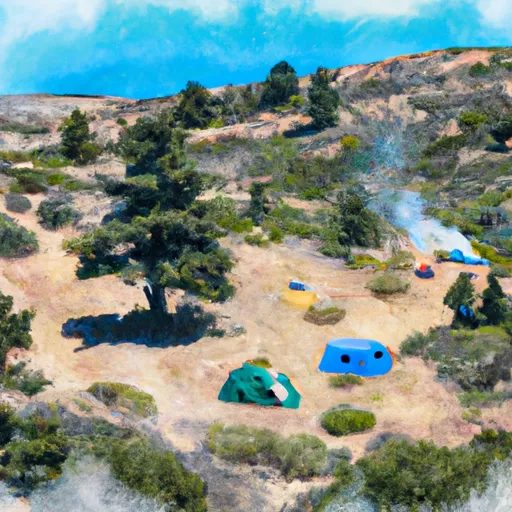 Bloomfield I
|
||
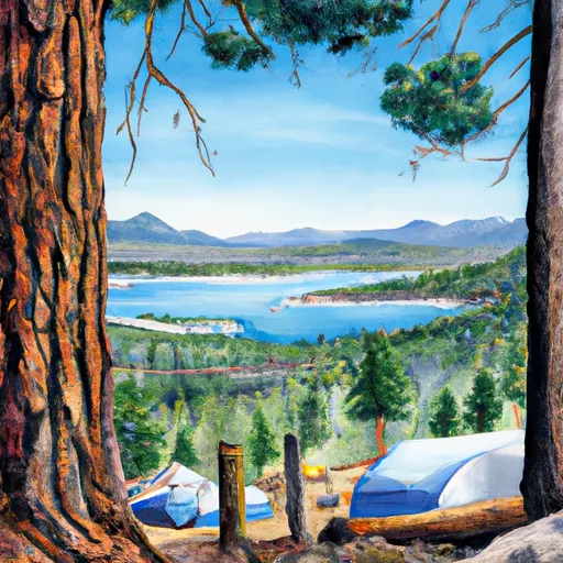 Sherrold Lake
|
||
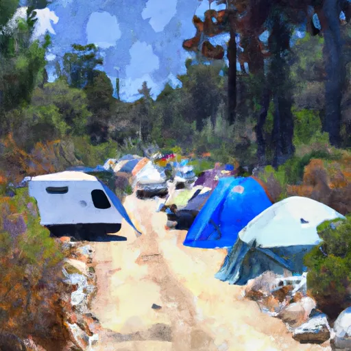 Bloomfield Campground
|
||
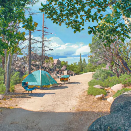 Highland Lakes Campground
|
||
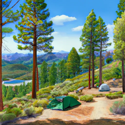 Highland Lakes
|

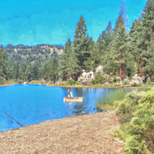 Lower Blue Lake
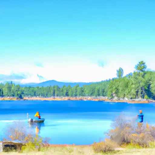 Blue Lakes
 Evergreen Lake