Summary
The ideal streamflow range for this run is between 200 and 400 cubic feet per second (cfs) during the spring and early summer months. The class rating for this river run is between II and III, making it an intermediate level run suitable for experienced rafters and kayakers. The segment mileage for this river run is approximately 11 miles, providing plenty of opportunities for adventure and exploration.
There are specific river rapids and obstacles to watch out for, including the "Rock Garden" and "Three T's" sections, which are popular among adrenaline-seekers. Other notable rapids include "Screaming Left" and "The Chute." It is important to note that the river run can be dangerous during high water levels, and caution should be exercised at all times.
There are also specific regulations to the area. Rafters must obtain a permit from the Tonto National Forest Service, as the run passes through federal land. Additionally, all rafts and kayaks must be equipped with personal flotation devices and a whistle. Alcoholic beverages are not permitted on the river, and visitors are expected to pack out all trash and waste.
°F
°F
mph
Wind
%
Humidity
15-Day Weather Outlook
River Run Details
| Last Updated | 2026-02-07 |
| River Levels | 135 cfs (6.82 ft) |
| Percent of Normal | 45% |
| Status | |
| Class Level | None |
| Elevation | ft |
| Streamflow Discharge | cfs |
| Gauge Height | ft |
| Reporting Streamgage | USGS 09508500 |


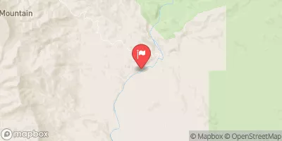
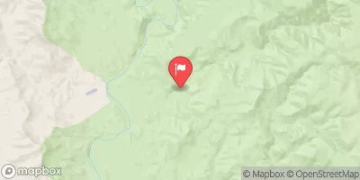
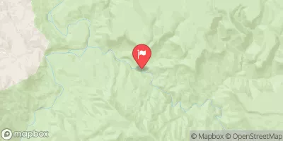
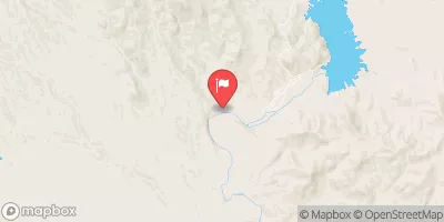
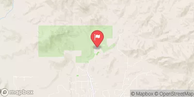
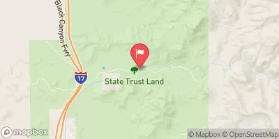
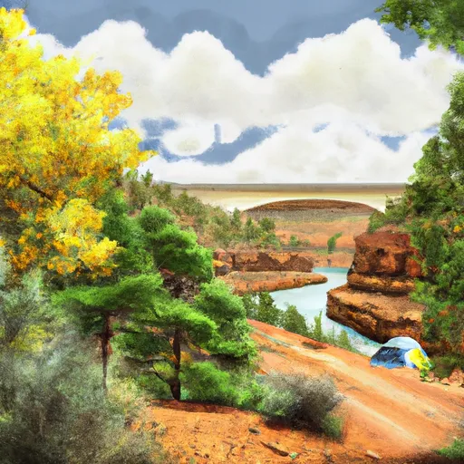 Sheep Bridge Dispersed Camping
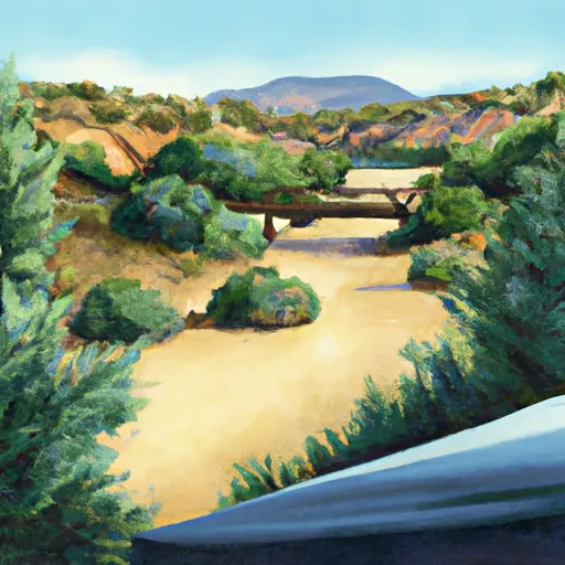 Sheeps Bridge
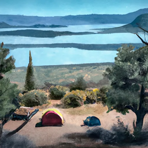 Catfish Point Dispersed Camping Area
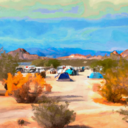 Ocotillo Rec and Boating Site Dispersed
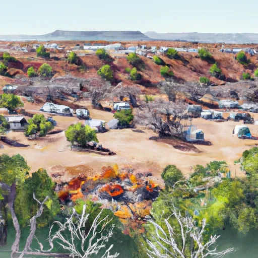 Horseshoe Dispersed Camping
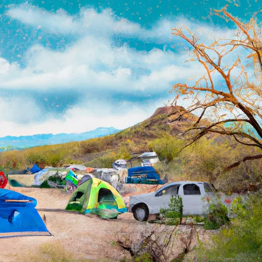 Mesquite Dispersed Camping
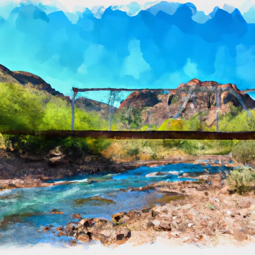 Southern Border Of Mazatzal Wilderness To Sheep Creek Bridge
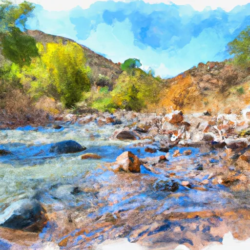 Red Creek To Southern Border Of Mazatzal Wilderness